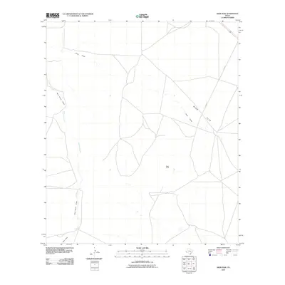
2010 Map of Deer Peak
USGS Topo · Published 2010About this map
Ryan Flat dominates this high-desert landscape of Presidio County, showing the intricate drainage patterns of the Trans-Pecos region in the early 21st century. The topographic data reveals a network of intermittent watercourses including Ryan Draw, Wild Horse Creek, and Wild Horse Draw, which navigate the subtle gradients between the open flats and higher elevations. Rising above the surrounding plains, Deer Peak serves as a primary landmark in this sparsely populated cattle-ranching country. The presence of Ryan Rd suggests a landscape defined by long-distance transit and large-scale landholdings, where geography is marked by the movement of water and livestock across a semi-arid terrain.
Find a feature on this map
7 named features on this map. Tap any name to fly to it.
Don’t see what you’re looking for? This feature index may not catch every label — zoom into the map to look around manually.
Map Details
Editions of this 2010 Deer Peak Map
This is the sole edition of this map. No revisions or reprints were ever made.
Other maps of this area

1892 · Chispa
USGS Topo · 1:125,000

1894 · Valentine
USGS Topo · 1:125,000

1895 · Chispa
USGS Topo · 1:125,000

1895 · Marfa
USGS Topo · 1:125,000

1896 · San Carlos
USGS Topo · 1:125,000

1897 · Valentine
USGS Topo · 1:125,000

1897 · Chispa
USGS Topo · 1:125,000

1943 · Valentine
USGS Topo · 1:125,000

1959 · Marfa
USGS Topo · 1:250,000

1965 · Marfa
USGS Topo · 1:250,000