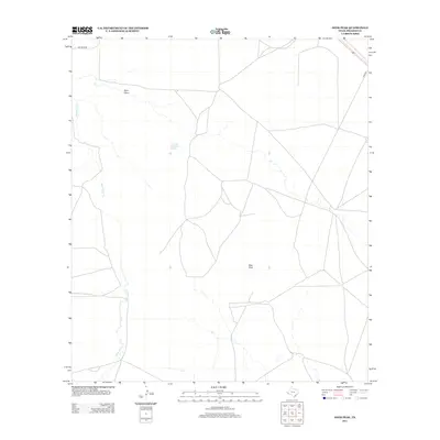
2012 Map of Deer Peak
USGS Topo · Published 2012About this map
Deer Peak rises as a prominent landmark in this high-desert stretch of the Trans-Pecos during the early twenty-first century. The landscape is defined by its arid drainage systems, notably Wild Horse Cr and Ryan Draw, which channel seasonal runoff through the ranching country of Presidio County. A vital water source in this environment is documented at Nine Mile Waterhole Spring, a site often of great significance in an area where permanent water is scarce. Transportation across these wide-open spaces is facilitated by a network of ranch roads and tracks, including Old Brite Rd and Ryan Rd, which connect the isolated holdings and landmarks of this West Texas terrain.
Find a feature on this map
6 named features on this map. Tap any name to fly to it.
Don’t see what you’re looking for? This feature index may not catch every label — zoom into the map to look around manually.
Map Details
Editions of this 2012 Deer Peak Map
This is the sole edition of this map. No revisions or reprints were ever made.
Other maps of this area

1892 · Chispa
USGS Topo · 1:125,000

1894 · Valentine
USGS Topo · 1:125,000

1895 · Chispa
USGS Topo · 1:125,000

1895 · Marfa
USGS Topo · 1:125,000

1896 · San Carlos
USGS Topo · 1:125,000

1897 · Valentine
USGS Topo · 1:125,000

1897 · Chispa
USGS Topo · 1:125,000

1943 · Valentine
USGS Topo · 1:125,000

1959 · Marfa
USGS Topo · 1:250,000

1965 · Marfa
USGS Topo · 1:250,000