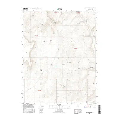
2017 Map of Deer Range Point
USGS Topo · Published 2017About this map
Potters Butte and Mollies Nipple dominate this high-desert landscape in Kane County, where the topography is defined by dramatic mesas and deep drainage systems. The survey captures a network of geographic "swags" including North Swag, West Swag, and South Swag, suggesting a complex natural drainage pattern that funnels toward the eastern border's Paria River. Remote access into this region is documented via the Oil Well Rd and Buckskin Wash Rd, pointing to the area's history of resource exploration and cattle ranging. Significant landforms like No Mans Mesa and the White Cliffs stand as prominent landmarks alongside localized water features such as Nipple Lake and Snake Creek. The map also traces intricate canyon systems including Kitchen Canyon, Box Elder Canyon, and Starlight Canyon, illustrating the erosional forces that have shaped the Deer Range.
Find a feature on this map
32 named features on this map. Tap any name to fly to it.
Don’t see what you’re looking for? This feature index may not catch every label — zoom into the map to look around manually.
Map Details
Editions of this 2017 Deer Range Point Map
This is the sole edition of this map. No revisions or reprints were ever made.
Other maps of this area

1886 · Kanab
USGS Topo · 1:250,000

1886 · Escalante
USGS Topo · 1:250,000

1953 · Cedar City
USGS Topo · 1:250,000

1954 · Buckskin Gulch NW
USGS Topo · 1:24,000

1954 · Buckskin Gulch NE
USGS Topo · 1:24,000

1954 · Paria NW
USGS Topo · 1:24,000

1954 · Buckskin Gulch
USGS Topo · 1:62,500

1954 · Paria
USGS Topo · 1:62,500

1955 · The Cockscob SW
USGS Topo · 1:24,000

1956 · Escalante
USGS Topo · 1:250,000