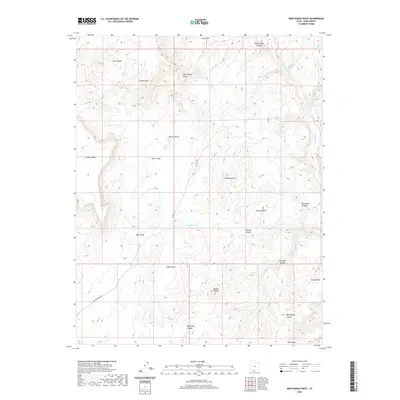
2020 Map of Deer Range Point
USGS Topo · Published 2020About this map
The Paria River carves a deep path through the eastern portion of this desert landscape in Kane County, defining the drainage patterns of a region marked by significant elevation changes. This USGS survey highlights the hydrological network of the high plateau, where the Snake Cr feeds into the main river valley. The map documents the intricate network of canyons and ridgelines that characterize this corner of southern Utah, providing a detailed look at the natural topography without the presence of named settlements or heavy infrastructure. For those interested in the remote geography of the Colorado Plateau, this data represents the state of the river system and terrain as it was recorded in the late 2010s.
Find a feature on this map
2 named features on this map. Tap any name to fly to it.
Don’t see what you’re looking for? This feature index may not catch every label — zoom into the map to look around manually.
Map Details
Editions of this 2020 Deer Range Point Map
This is the sole edition of this map. No revisions or reprints were ever made.
Other maps of this area

1886 · Kanab
USGS Topo · 1:250,000

1886 · Escalante
USGS Topo · 1:250,000

1953 · Cedar City
USGS Topo · 1:250,000

1954 · Buckskin Gulch NW
USGS Topo · 1:24,000

1954 · Buckskin Gulch NE
USGS Topo · 1:24,000

1954 · Paria NW
USGS Topo · 1:24,000

1954 · Buckskin Gulch
USGS Topo · 1:62,500

1954 · Paria
USGS Topo · 1:62,500

1955 · The Cockscob SW
USGS Topo · 1:24,000

1956 · Escalante
USGS Topo · 1:250,000