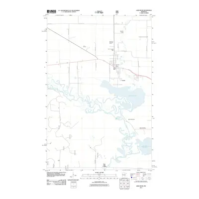
2011 Map of Deer River
USGS Topo · Published 2011About this map
The Mississippi River meanders extensively through this northern landscape, forming a complex network of wetlands and oxbows just south of Deer River. This survey captures the confluence where the river meets White Oak Lake and Little White Oak Lake, highlighting the watery geography of Itasca County. The small community of Zemple sits at the river's edge, while Days High Landing provides a specific point of access further south.
Find a feature on this map
32 named features on this map. Tap any name to fly to it.
Don’t see what you’re looking for? This feature index may not catch every label — zoom into the map to look around manually.
Map Details
Editions of this 2011 Deer River Map
This is the sole edition of this map. No revisions or reprints were ever made.
Other maps of this area

1953 · Siseebakwet Lake
USGS Topo · 1:24,000

1953 · Cohasset West
USGS Topo · 1:24,000

1954 · Hibbing
USGS Topo · 1:250,000

1957 · Hibbing
USGS Topo · 1:250,000

1958 · Hibbing
USGS Topo · 1:250,000

1964 · Hibbing
USGS Topo · 1:250,000

1970 · Deer River NE
USGS Topo · 1:24,000
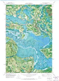
1970 · Deer River
USGS Topo · 1:24,000

1970 · Ball Club
USGS Topo · 1:24,000
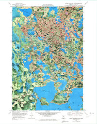
1970 · Little Bowstring Lake
USGS Topo · 1:24,000
Featured Places
- Deer River, MN
- Zemple, MN
- Days High Landing, MN
- Liston Evergreen Mobile Home Park, Deer River
- Itasca County, MN