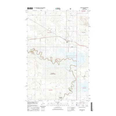
2016 Map of Deer River
USGS Topo · Published 2016About this map
The Mississippi River winds through the heart of this landscape, carving a serpentine path through the expansive wetlands of the Chippewa National Forest. The city of Deer River and the neighboring community of Zemple sit at the northern edge of the river's floodplains, positioned near the junction of major local thoroughfares like Main Ave and Co RD 128. This area is defined by the transition from settled township lands to the intricate riparian systems of White Oak Lake and Little White Oak Lake.
Find a feature on this map
43 named features on this map. Tap any name to fly to it.
Don’t see what you’re looking for? This feature index may not catch every label — zoom into the map to look around manually.
Map Details
Editions of this 2016 Deer River Map
This is the sole edition of this map. No revisions or reprints were ever made.
Other maps of this area

1953 · Siseebakwet Lake
USGS Topo · 1:24,000

1953 · Cohasset West
USGS Topo · 1:24,000

1954 · Hibbing
USGS Topo · 1:250,000

1957 · Hibbing
USGS Topo · 1:250,000

1958 · Hibbing
USGS Topo · 1:250,000

1964 · Hibbing
USGS Topo · 1:250,000

1970 · Deer River NE
USGS Topo · 1:24,000
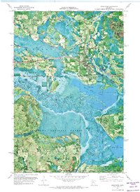
1970 · Deer River
USGS Topo · 1:24,000

1970 · Ball Club
USGS Topo · 1:24,000
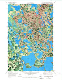
1970 · Little Bowstring Lake
USGS Topo · 1:24,000
Featured Places
- Deer River, MN
- Zemple, MN
- Days High Landing, MN
- Liston Evergreen Mobile Home Park, Deer River
- Itasca County, MN