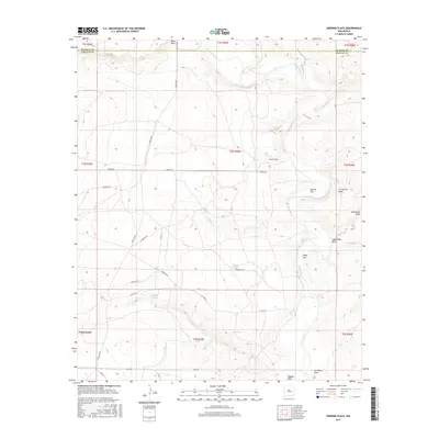
2017 Map of Deering Place
USGS Topo · Published 2017About this map
The Pecos River snakes through this high-desert landscape in northern Chaves County, defining a region of seasonal drainages and isolated water sources. Named landmarks like Deering Place and La Espiata Peak anchor a territory predominantly shaped by ranching infrastructure and the natural topography of the Pecos Valley. The map records a complex network of local roads named for distant counties and families, including Dona Ana Rd, Torrence Rd, and McKinley Rd, suggesting historical routes between established grazing lands. Scattered water features such as Willow Spring, Middle Spring, and Spring Tank reveal the essential points of survival in this arid terrain. The presence of broad geographic areas like North Flat and Pump Flat illustrates the flat-topped mesas and alluvial plains that characterize the transition from the river banks to the surrounding draws.
Find a feature on this map
30 named features on this map. Tap any name to fly to it.
Don’t see what you’re looking for? This feature index may not catch every label — zoom into the map to look around manually.
Map Details
Editions of this 2017 Deering Place Map
This is the sole edition of this map. No revisions or reprints were ever made.
Other maps of this area

1954 · Fort Sumner
USGS Topo · 1:250,000

1955 · Roswell
USGS Topo · 1:250,000

1958 · Fort Sumner
USGS Topo · 1:250,000

1958 · Roswell
USGS Topo · 1:250,000

1962 · Roswell
USGS Topo · 1:250,000

1967 · Deering Place
USGS Topo · 1:24,000

1967 · Cottonwood Draw
USGS Topo · 1:24,000

1967 · Swallow Nest Canyon
USGS Topo · 1:24,000

1967 · Hernandez Lake
USGS Topo · 1:24,000
1967 · Haystack Butte
USGS Topo · 1:24,000