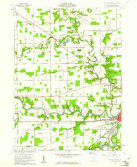
1960 Map of Defiance West
USGS Topo · Published 1961About this map
The confluence of the Maumee River, Tiffin River, and Auglaize River dominates this 1960s study of northwestern Ohio, revealing a landscape defined by its waterways and transport history. The settlement of Defiance sits at the heart of this junction, where the remnants of the Miami and Erie Canal run parallel to the Wabash Railroad, illustrating the shift from nineteenth-century water transport to industrial rail. Small communities and landmarks like Brunersburg and the County Home are situated among the fertile bends of the rivers, which are still dotted with local heritage sites such as Hill Cemetery and the United Brethren Church.
Find a feature on this map
71 named features on this map. Tap any name to fly to it.
Don’t see what you’re looking for? This feature index may not catch every label — zoom into the map to look around manually.
Map Details
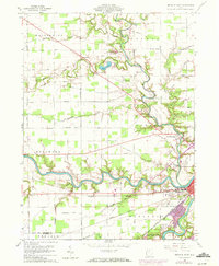
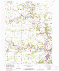
Editions of this 1960 Defiance West Map
3 editions found
Other maps of this area

1907 · Defiance
USGS Topo · 1:62,500

1909 · Defiance
USGS Topo · 1:62,500

1909 · Continental
USGS Topo · 1:62,500

1914 · Bryan
USGS Topo · 1:62,500

1914 · Paulding
USGS Topo · 1:62,500

1943 · Bryan
USGS Topo · 1:62,500

1944 · Paulding
USGS Topo · 1:62,500

1953 · Fort Wayne
USGS Topo · 1:250,000

1956 · Fort Wayne
USGS Topo · 1:250,000

1959 · Defiance East
USGS Topo · 1:24,000