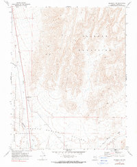
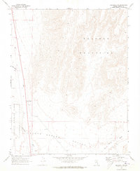
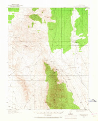
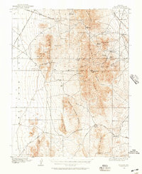
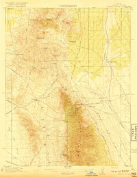
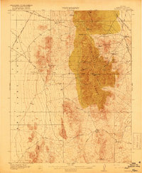
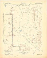
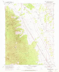
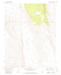
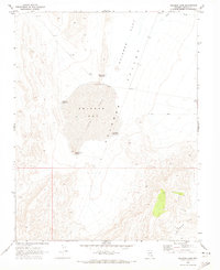
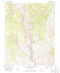
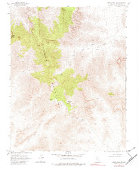
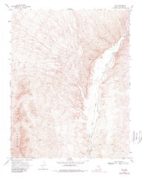
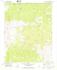
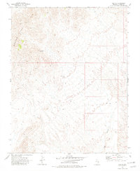
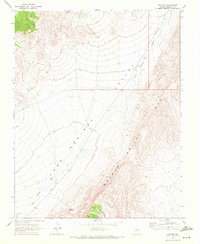
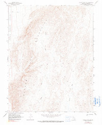
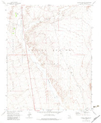
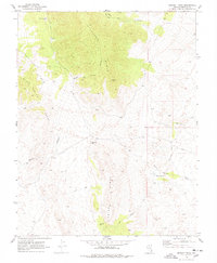
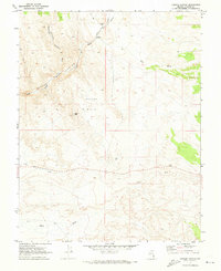
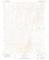
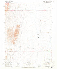
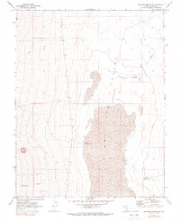
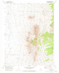
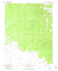
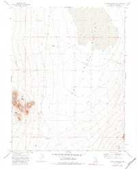
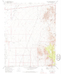
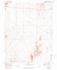
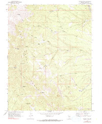
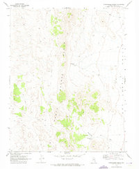
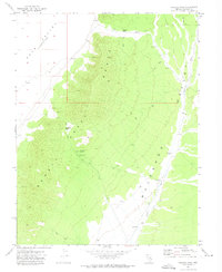
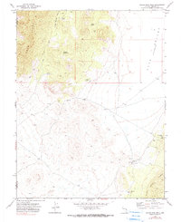
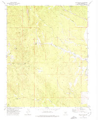
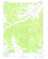
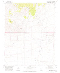
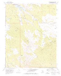
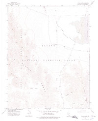
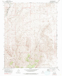
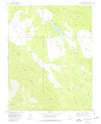
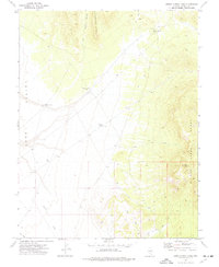
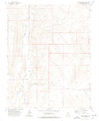
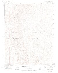
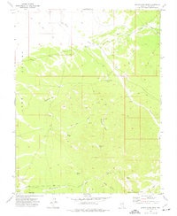
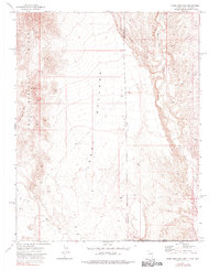
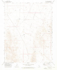
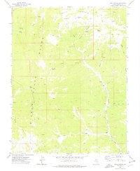
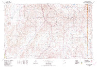
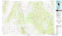
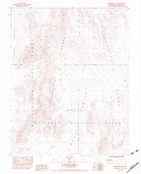
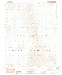
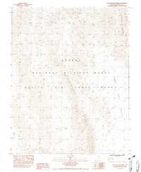
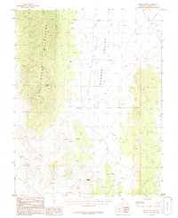
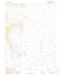
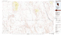
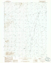
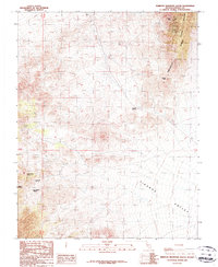
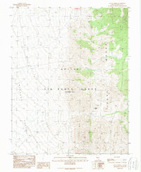
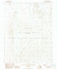
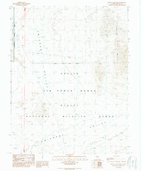
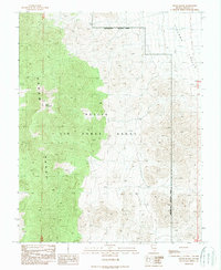
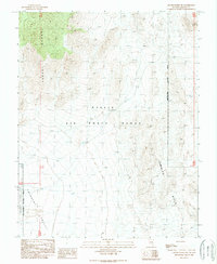
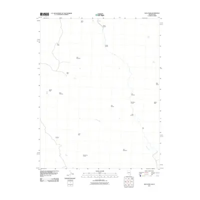
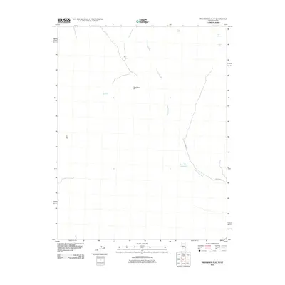
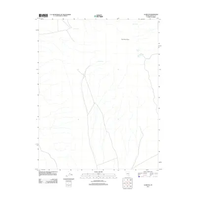
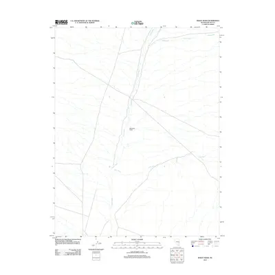
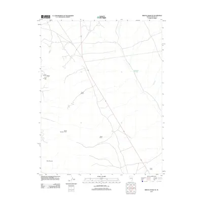
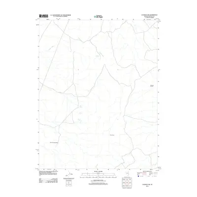
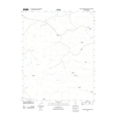
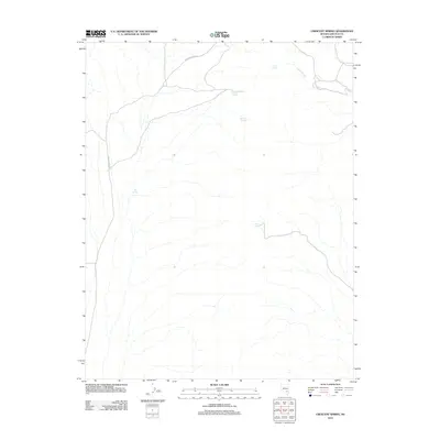
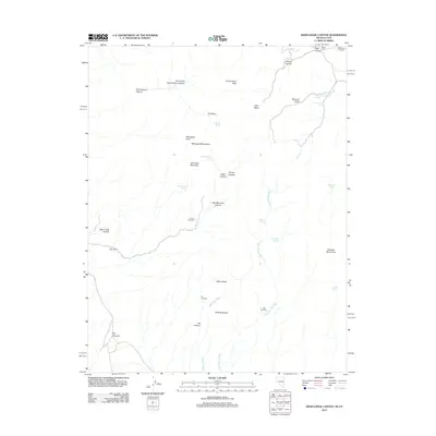
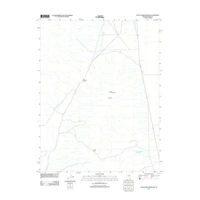
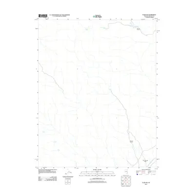
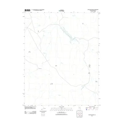
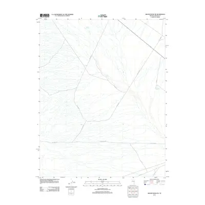
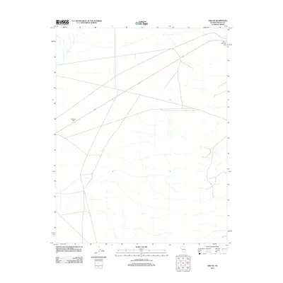
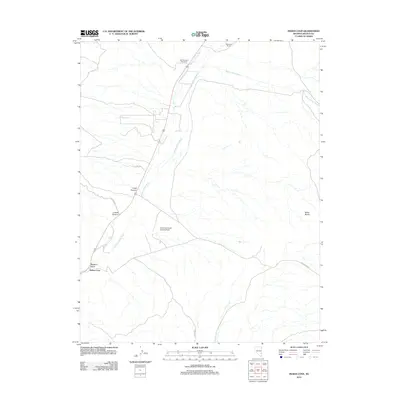
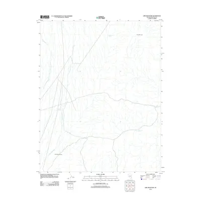
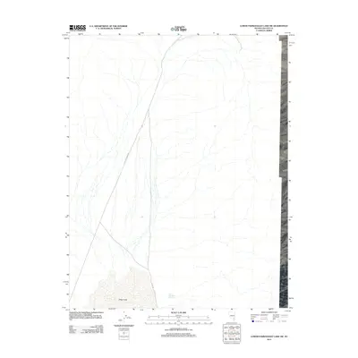
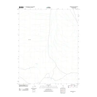
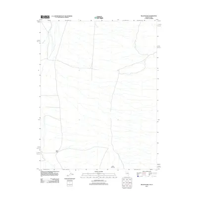
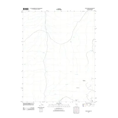
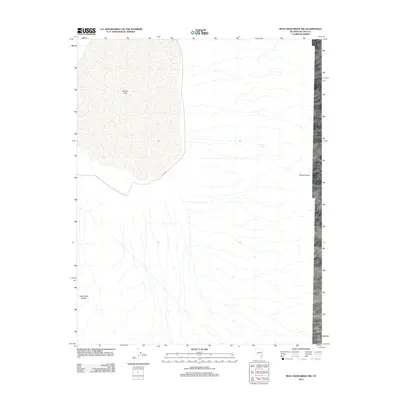
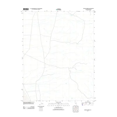
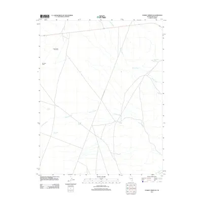
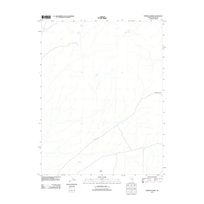
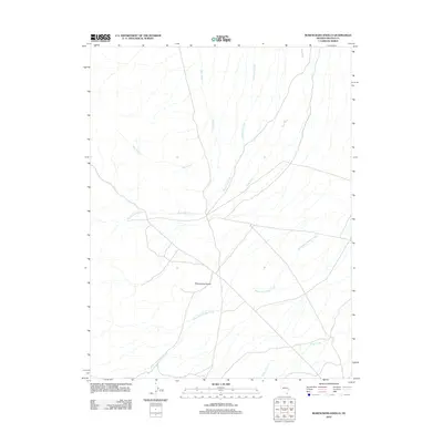
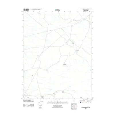
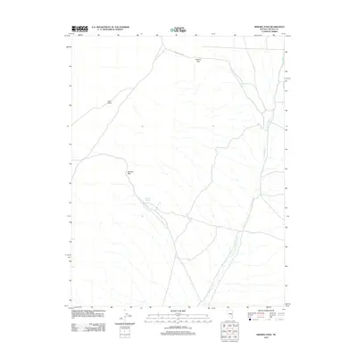
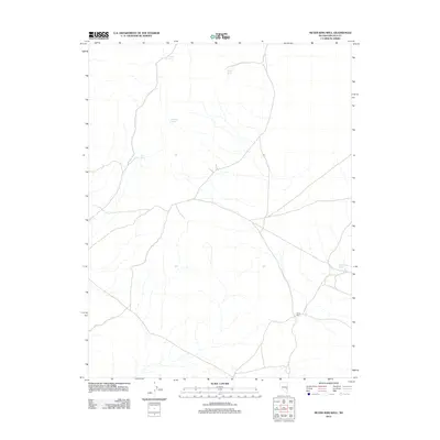
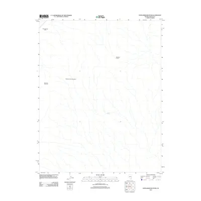
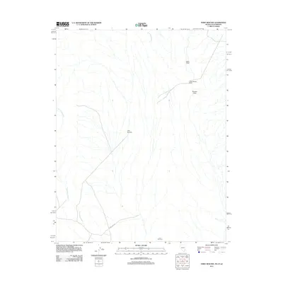
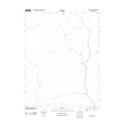
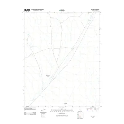
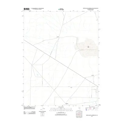
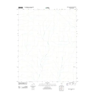
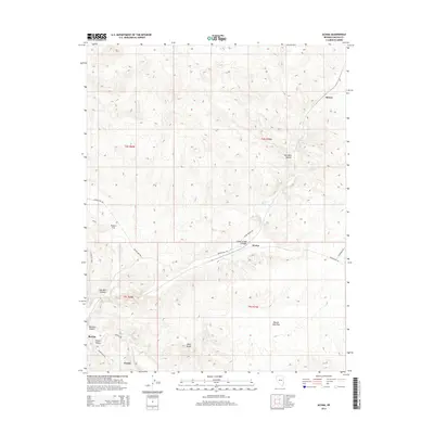
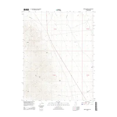
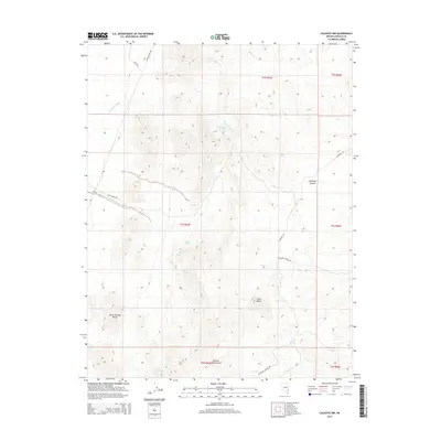
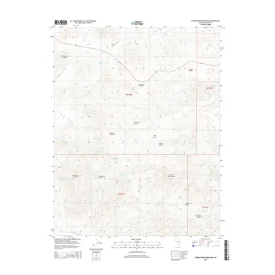
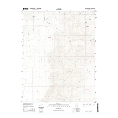
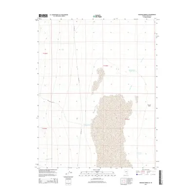
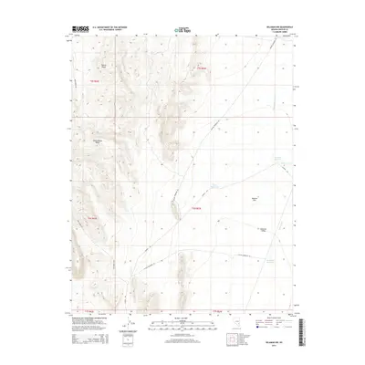
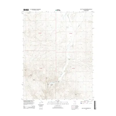
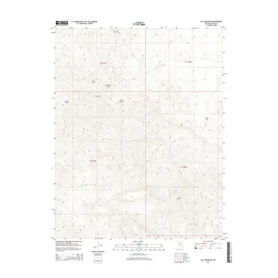
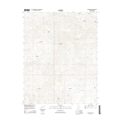
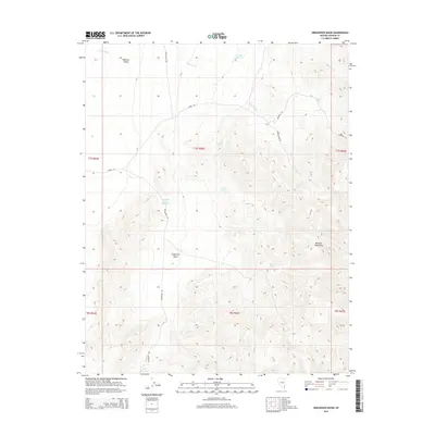
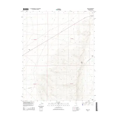
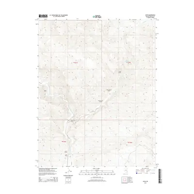
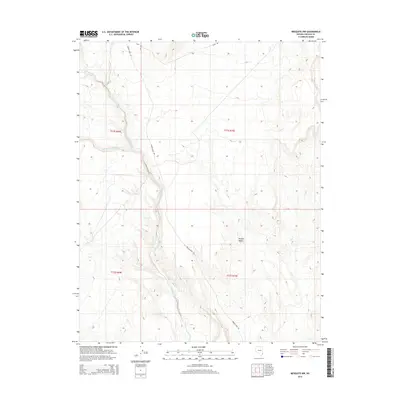
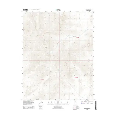
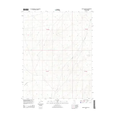
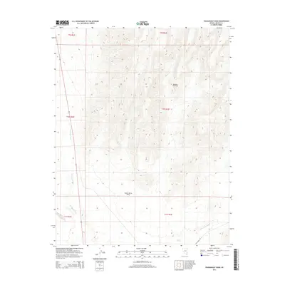
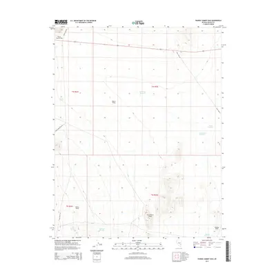
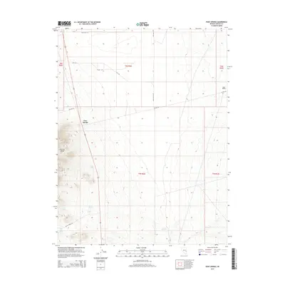
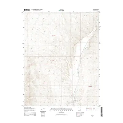
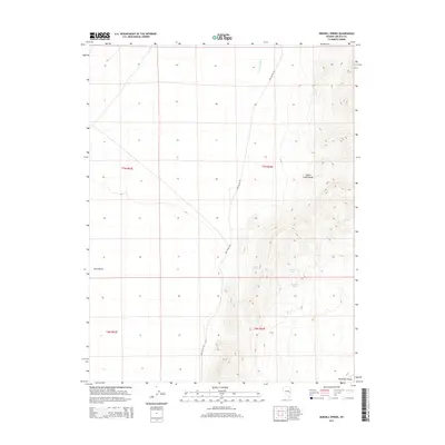
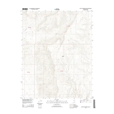
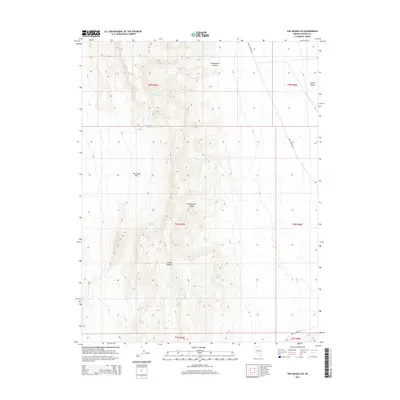
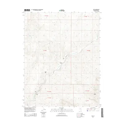
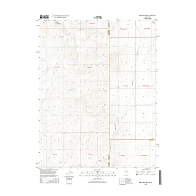
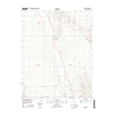
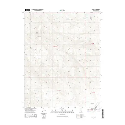
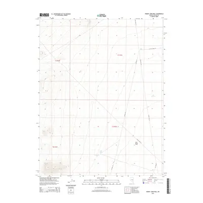
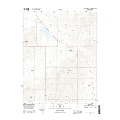
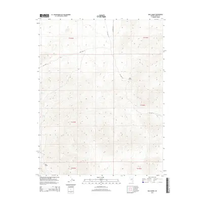
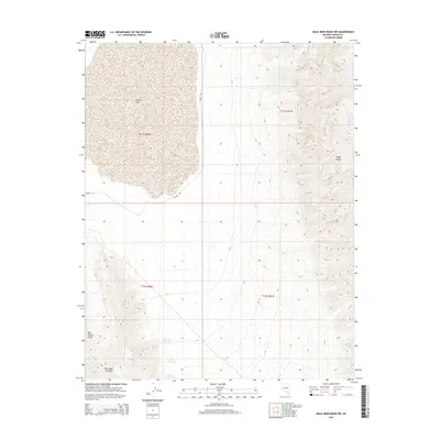
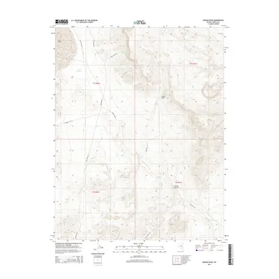
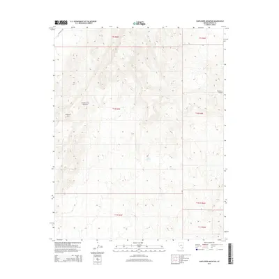
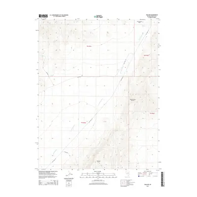
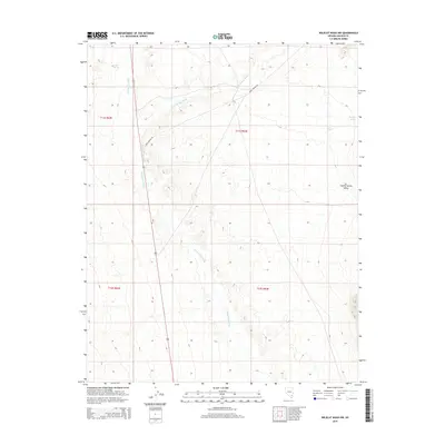
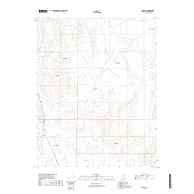
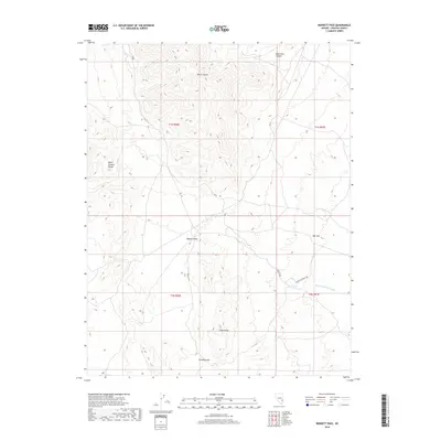
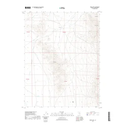
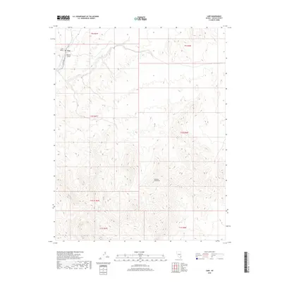
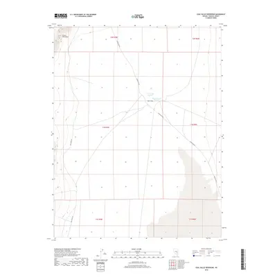
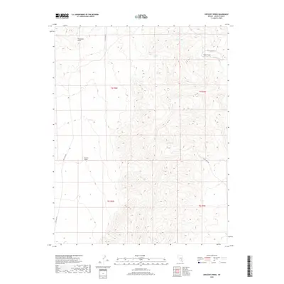
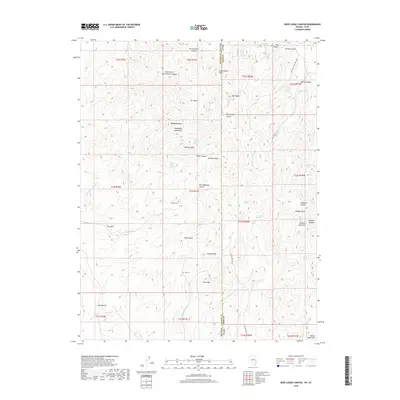
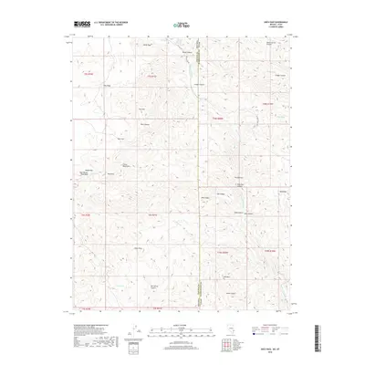
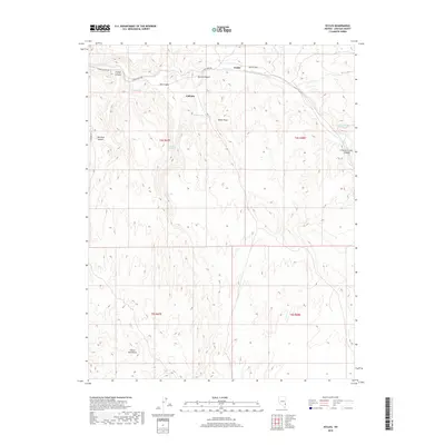
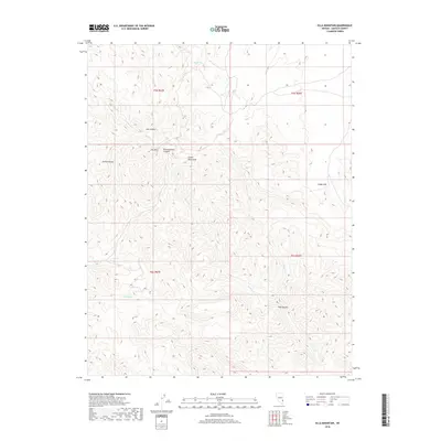
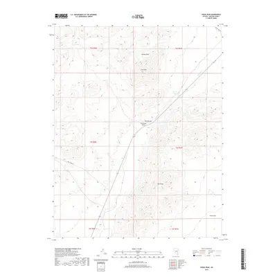
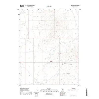
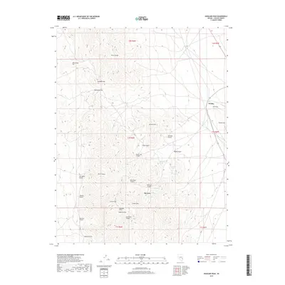
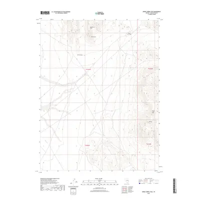
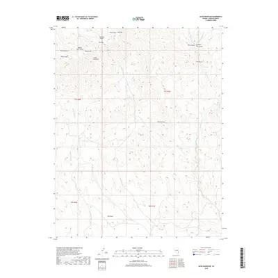
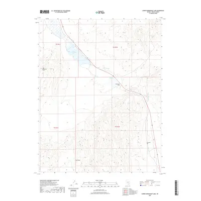
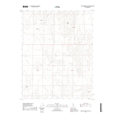
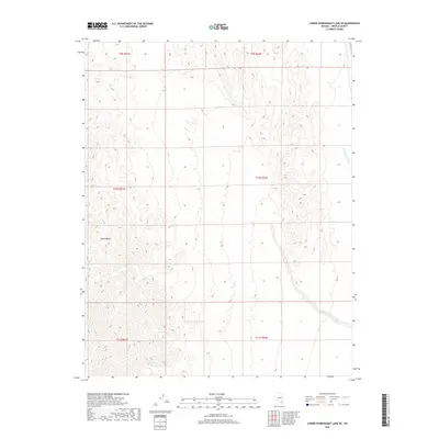
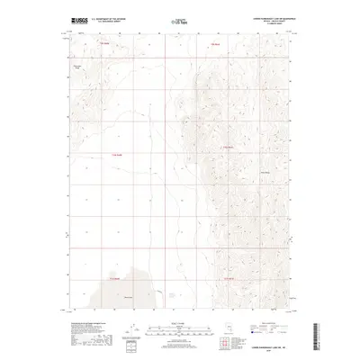
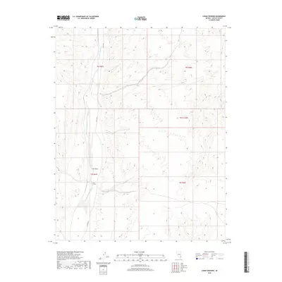
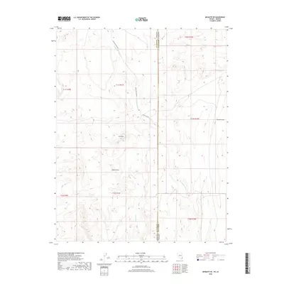
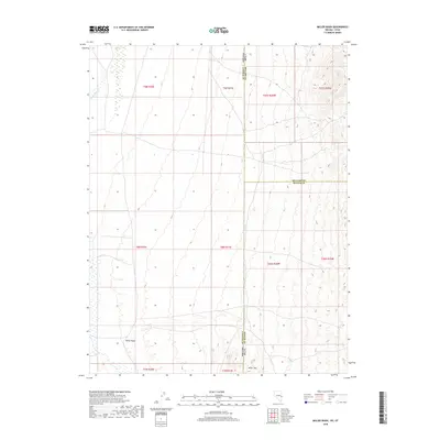
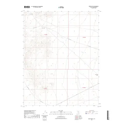
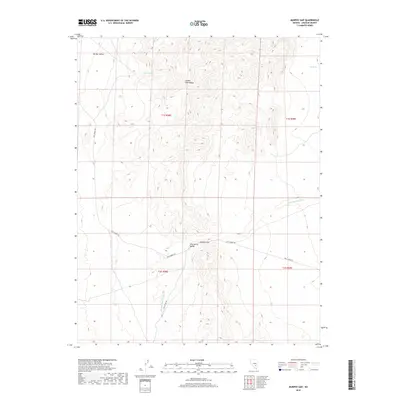
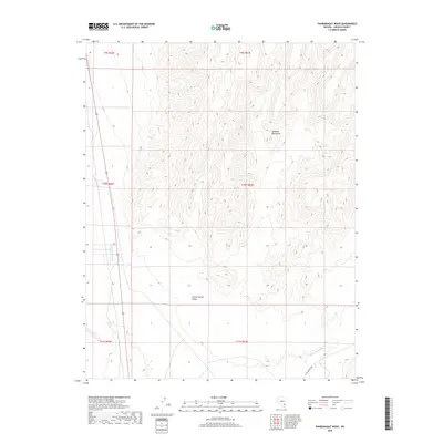
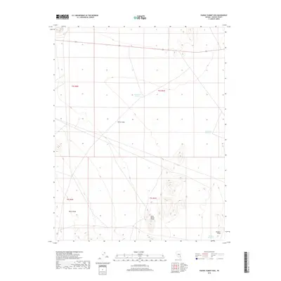
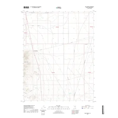
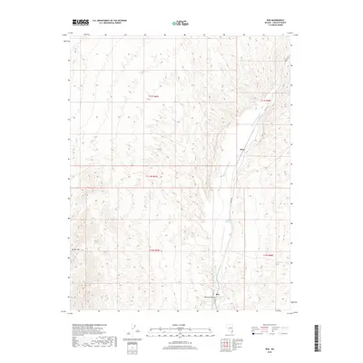
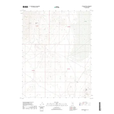
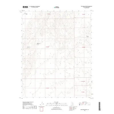
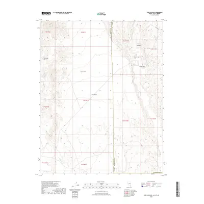
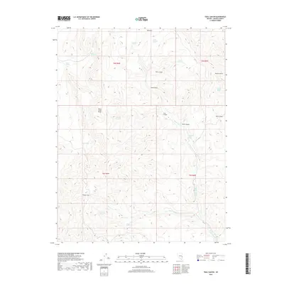
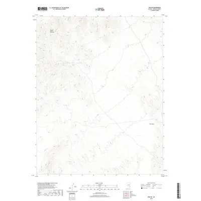
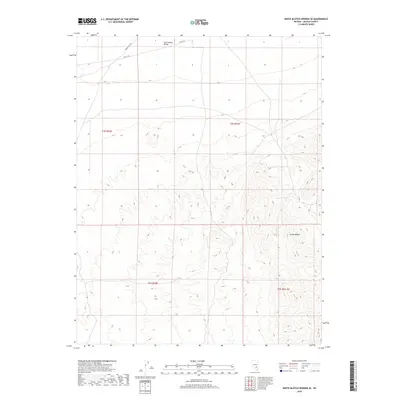
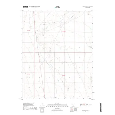
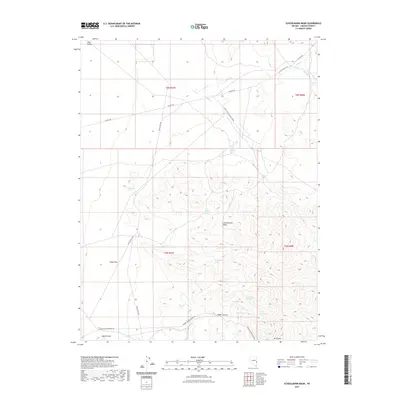
1969 Map of Delamar 3 SW
USGS Topo · Published 1990About this map
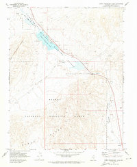
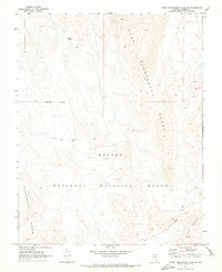
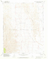
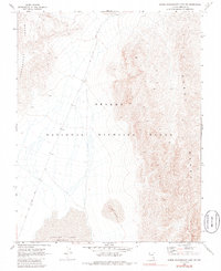
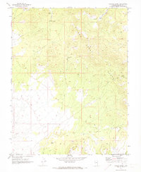
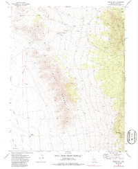
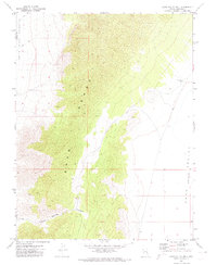
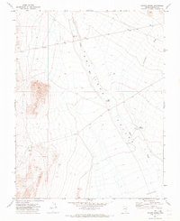
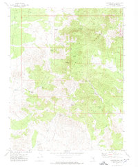
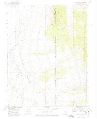
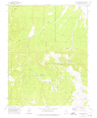
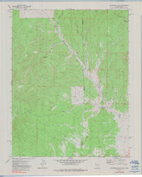
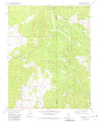
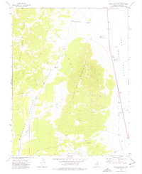
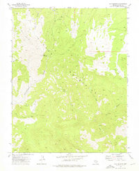
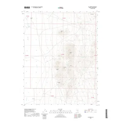
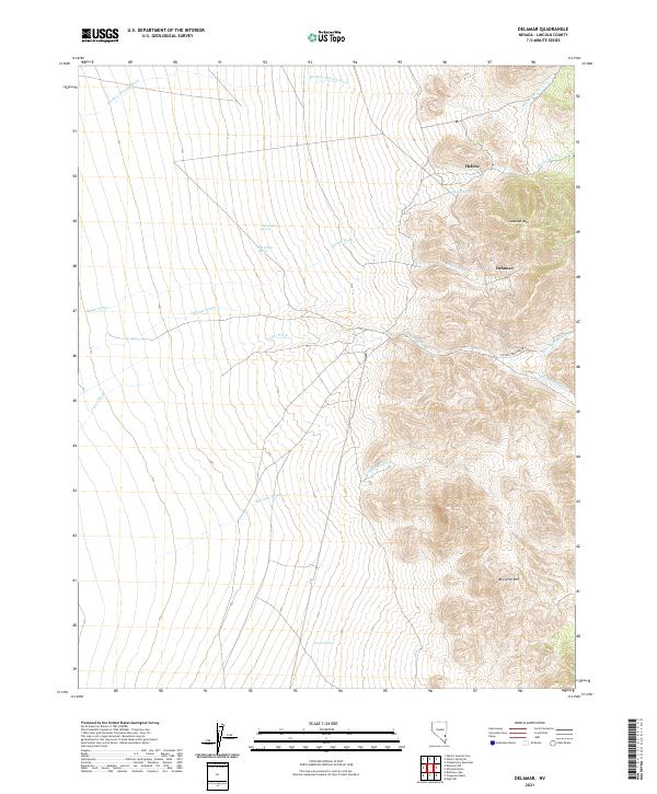
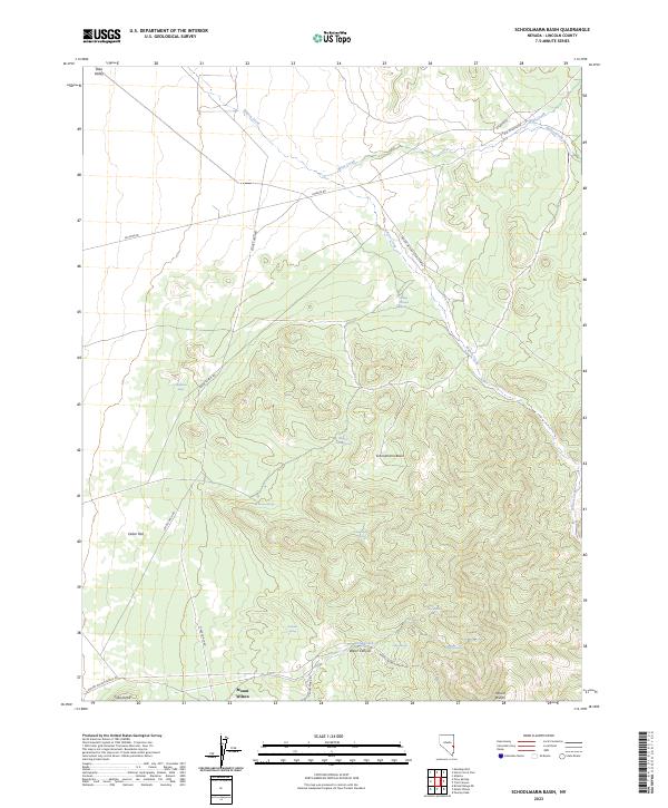
The Delamar Mountains dominate the landscape of this arid Nevada region, where steep ridgelines descend into the broad Coyote Spring Valley. This 1969 field-checked survey reveals a territory primarily defined by its natural drainage systems and remote conservation areas. The western edge of the map follows the Desert National Wildlife Range, a significant federal preserve established to protect the local desert bighorn sheep and their habitat.
Find a feature on this map
11 named features on this map. Tap any name to fly to it.
Don’t see what you’re looking for? This feature index may not catch every label — zoom into the map to look around manually.
Map Details
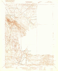
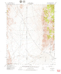
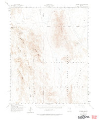
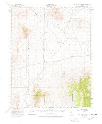
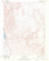
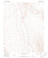
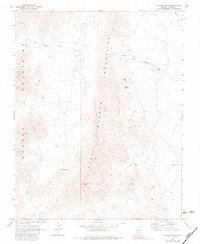
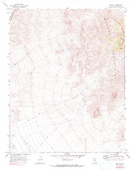
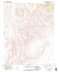
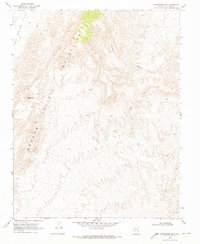
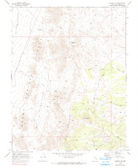
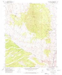
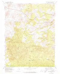
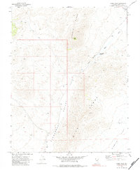
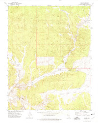
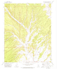
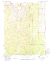
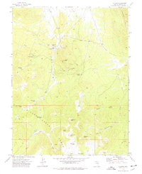
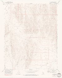
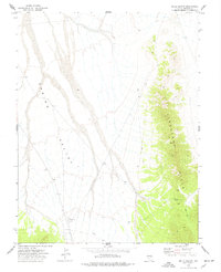
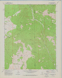
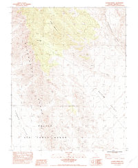
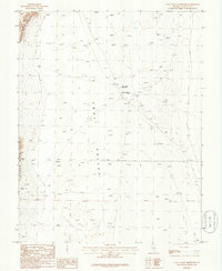
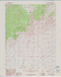
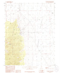
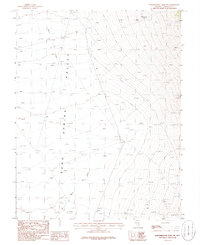
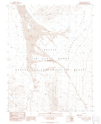
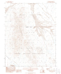
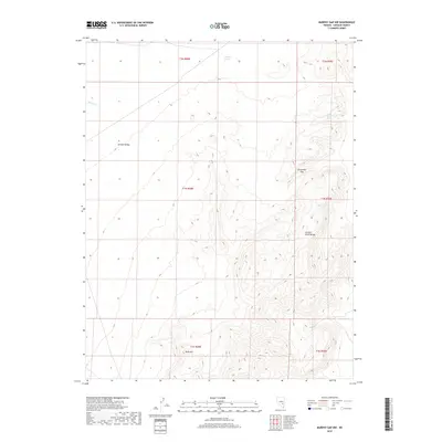
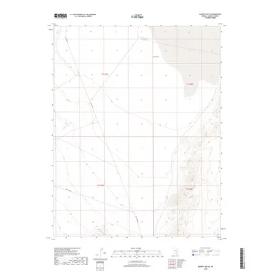
Editions of this 1969 Delamar 3 SW Map
3 editions found
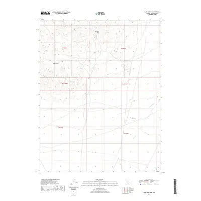
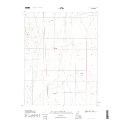
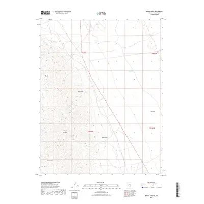
Historical Maps of Lincoln County Through Time
763 maps found
1915 Bristol Range
Lincoln County, NV
1916 Highland
Lincoln County, NV
1917 Bristol Range
Lincoln County, NV
1918 Highland
Lincoln County, NV
1921 Ely Range
Lincoln County, NV
1942 Emigrant Valley
Lincoln County, NV
1942 Penoyer Valley
Lincoln County, NV
1952 Groom Mine
Lincoln County, NV
1952 Papoose Lake
Lincoln County, NV
1952 White Blotch Springs
Lincoln County, NV
1953 Bristol Range SE
Lincoln County, NV
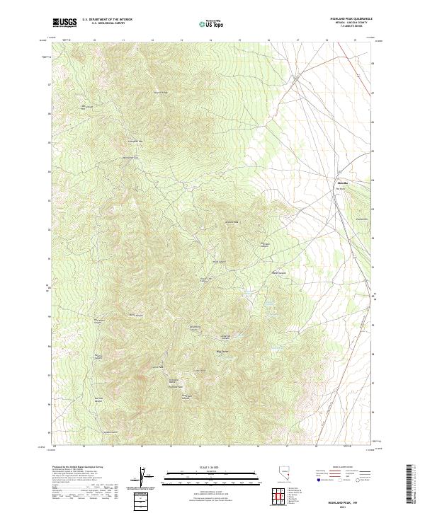
1953 Highland Peak
Lincoln County, NV
1958 Docs Pass
Lincoln County, NV
1964 Tempiute Mtn
Lincoln County, NV
1969 Alamo NE
Lincoln County, NV
1969 Alamo SE
Lincoln County, NV
1969 Ash Springs
Lincoln County, NV
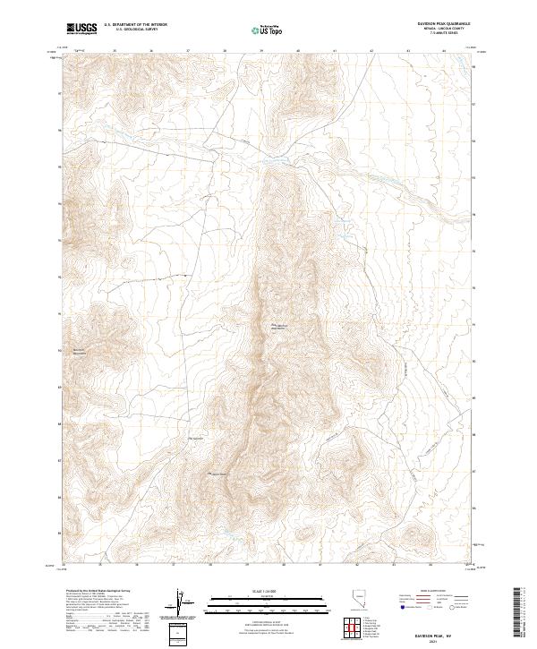
1969 Davidson Peak
Lincoln County, NV
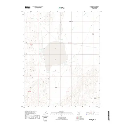
1969 Delamar Lake
Lincoln County, NV
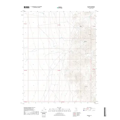
1969 Delamar
Lincoln County, NV
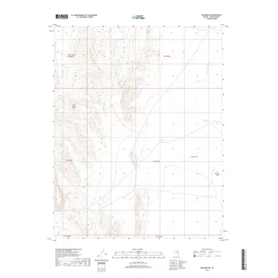
1969 Delamar NW
Lincoln County, NV
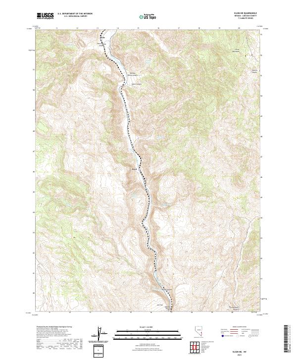
1969 Elgin
Lincoln County, NV
1969 Elgin NE
Lincoln County, NV
1969 Elgin SW
Lincoln County, NV
1969 Gregerson Basin
Lincoln County, NV
1969 Kane Spring Valley
Lincoln County, NV
1969 Lower Pahranagat Lake
Lincoln County, NV
1969 Lower Pahranagat Lake NW
Lincoln County, NV
1969 Lower Pahranagat Lake SE
Lincoln County, NV
1969 Lower Pahranagat Lake SW
Lincoln County, NV
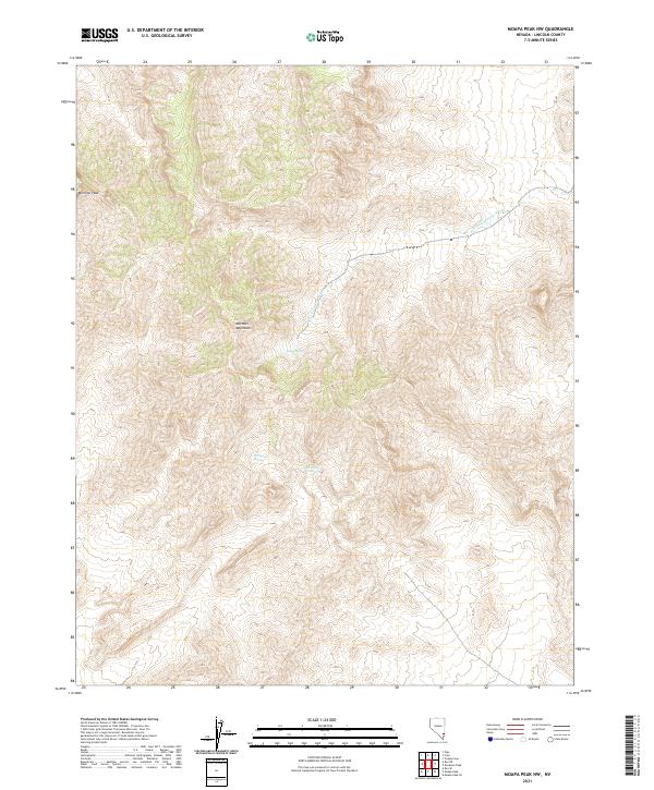
1969 Moapa Peak NW
Lincoln County, NV
1969 Mule Deer Ridge NE
Lincoln County, NV
1969 Mule Deer Ridge NW
Lincoln County, NV
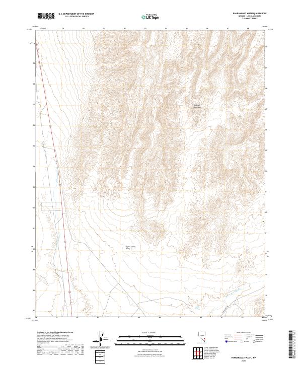
1969 Pahranagat Wash
Lincoln County, NV
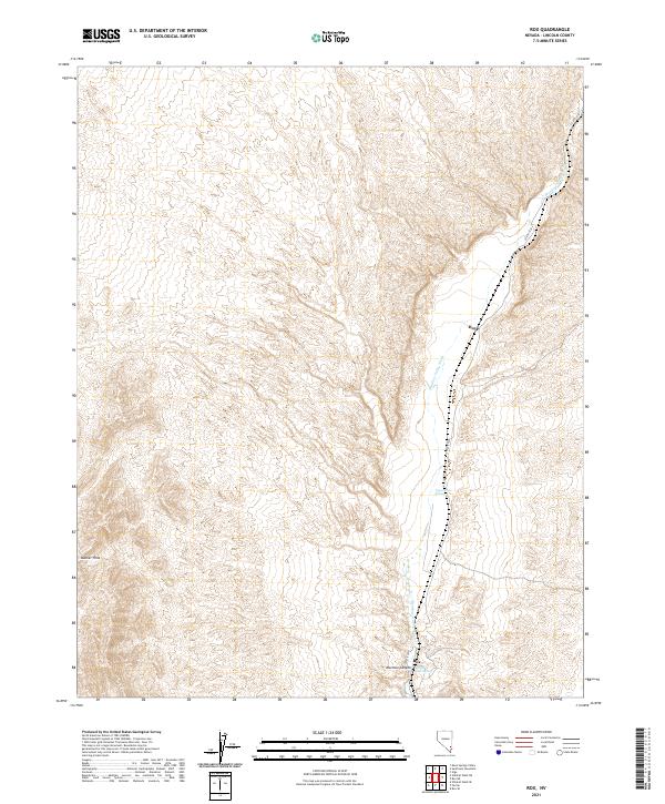
1969 Rox
Lincoln County, NV
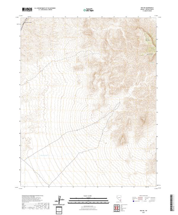
1969 Rox NE
Lincoln County, NV
1969 Shingle Pass
Lincoln County, NV
1969 Shingle Pass SE
Lincoln County, NV
1969 Slidy Mountain
Lincoln County, NV

1969 South of Delamar Lake
Lincoln County, NV
1969 South of Gregerson Basin
Lincoln County, NV
1969 Sunflower Mtn
Lincoln County, NV
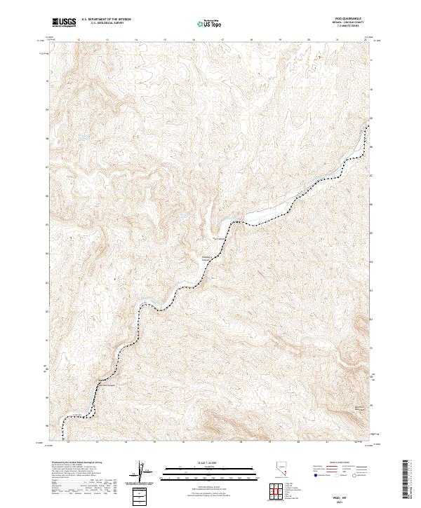
1969 Vigo
Lincoln County, NV
1969 Vigo NE
Lincoln County, NV
1969 Vigo NW
Lincoln County, NV
1969 Wildcat Wash NE
Lincoln County, NV
1969 Wildcat Wash NW
Lincoln County, NV
1970 Bennett Pass
Lincoln County, NV
1970 Caliente NW
Lincoln County, NV
1970 Chief Mountain
Lincoln County, NV
1970 Chokecherry Mtn.
Lincoln County, NV
1970 Condor Canyon
Lincoln County, NV
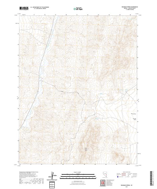
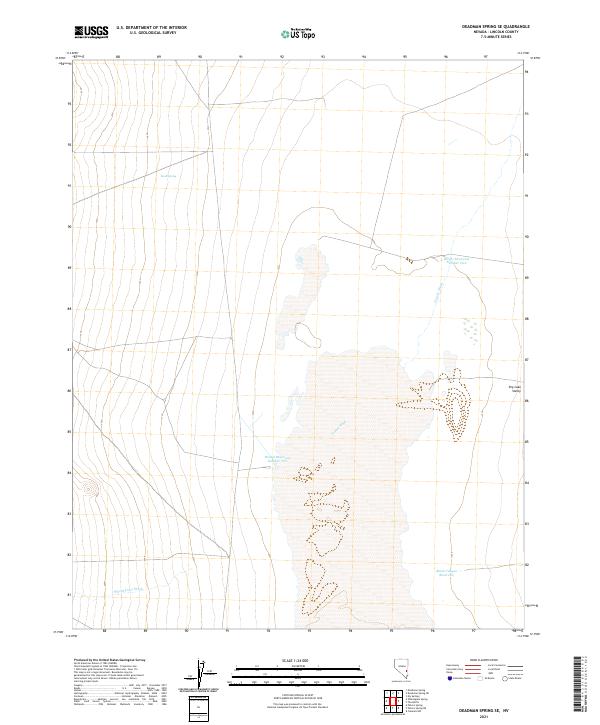
1970 Deadman Spring
Lincoln County, NV
1970 Deadman Spring NE
Lincoln County, NV
1970 Deadman Spring SE
Lincoln County, NV
1970 Ely Springs
Lincoln County, NV
1970 Fossil Peak
Lincoln County, NV
1970 Hiko NE
Lincoln County, NV
1970 Hiko SE
Lincoln County, NV
1970 Mt. Wilson
Lincoln County, NV
1970 Mt. Wilson SW
Lincoln County, NV
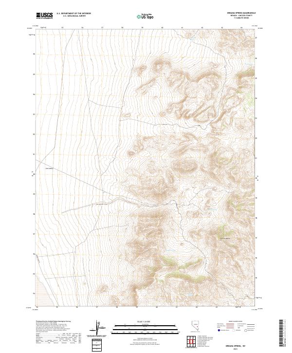
1970 Oreana Spring
Lincoln County, NV
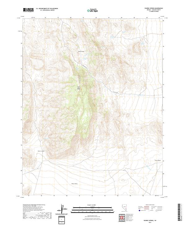
1970 Pahroc Spring
Lincoln County, NV
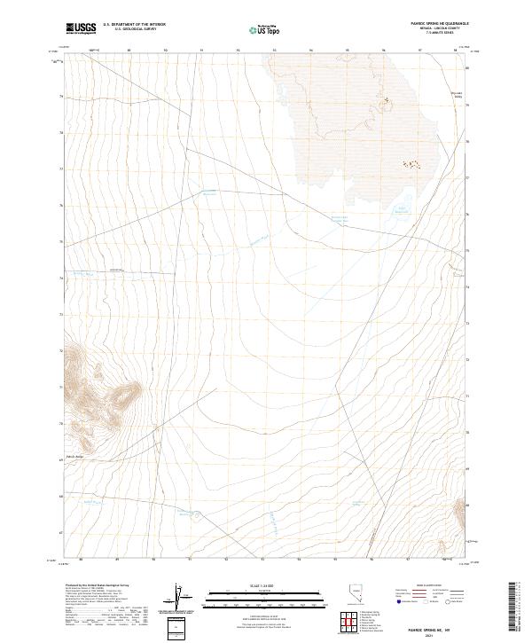
1970 Pahroc Spring NE
Lincoln County, NV
1970 Pahroc Spring SE
Lincoln County, NV
1970 Pahroc Summit Pass
Lincoln County, NV
1970 Parsnip Peak
Lincoln County, NV
1970 Pierson Summit
Lincoln County, NV
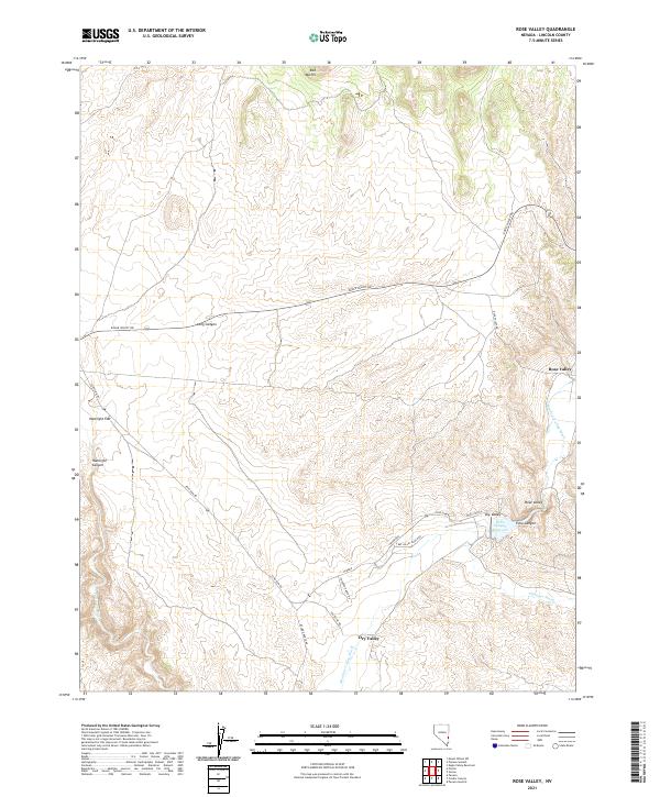
1970 Rose Valley
Lincoln County, NV

1970 Seaman Wash
Lincoln County, NV
1970 The Bluffs
Lincoln County, NV
1970 Weepah Spring
Lincoln County, NV
1970 Wheatgrass Spring
Lincoln County, NV
1970 White River Narrows
Lincoln County, NV
1971 Bailey Wash
Lincoln County, NV
1971 Bristol Range NE
Lincoln County, NV
1971 Bristol Well
Lincoln County, NV
1971 Cave Valley Well
Lincoln County, NV
1971 Coyote Spring
Lincoln County, NV
1971 Fairview Peak
Lincoln County, NV
1971 Sidehill Pass
Lincoln County, NV
1971 Sidehill Spring
Lincoln County, NV
1971 Silver King Mtn
Lincoln County, NV
1971 Silver King Mtn SW
Lincoln County, NV
1971 Silver King Well
Lincoln County, NV
1972 Acoma
Lincoln County, NV
1972 Buck Wash Well
Lincoln County, NV
1972 Deer Lodge Canyon
Lincoln County, NV
1972 Dow Mountain
Lincoln County, NV
1972 Eagle Valley Reservoir
Lincoln County, NV
1972 Eccles
Lincoln County, NV
1972 Gleason Basin
Lincoln County, NV
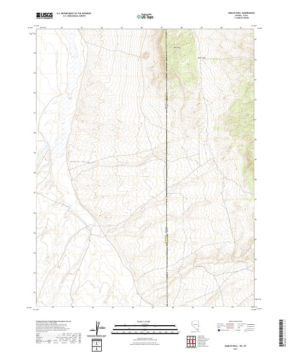
1972 Hamlin Well
Lincoln County, NV
1972 Hyde Well
Lincoln County, NV
1972 Indian Cove
Lincoln County, NV
1972 Islen
Lincoln County, NV
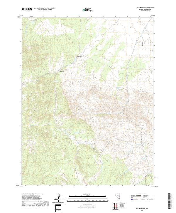
1972 Miller Canyon
Lincoln County, NV
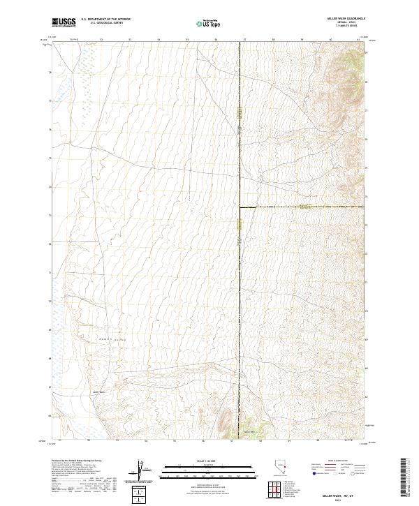
1972 Miller Wash
Lincoln County, NV
1972 Mosey Mtn
Lincoln County, NV
1972 Panaca Summit
Lincoln County, NV

1972 Pine Park
Lincoln County, NV
1972 Prohibition Flat
Lincoln County, NV
1972 Rice Mountain
Lincoln County, NV
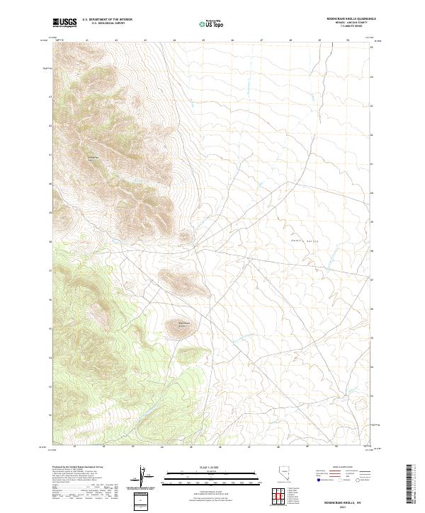
1972 Rosencrans Knolls
Lincoln County, NV
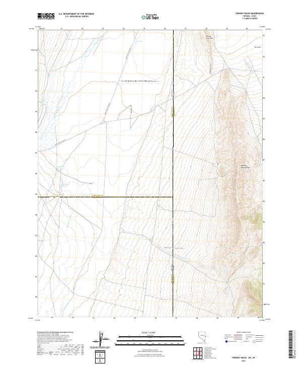
1972 Tweedy Wash
Lincoln County, NV
1972 Uvada
Lincoln County, NV
1972 White Rock Peak
Lincoln County, NV
1973 Atlanta
Lincoln County, NV
1973 Aysees Peak
Lincoln County, NV
1973 Blue Nose Peak
Lincoln County, NV
1973 Bunker Peak
Lincoln County, NV
1973 Burro Basin
Lincoln County, NV
1973 Carp
Lincoln County, NV
1973 Docs Pass
Lincoln County, NV
1973 Dog Bone Lake North
Lincoln County, NV
1973 Dutch John Mtn
Lincoln County, NV
1973 Ella Mountain
Lincoln County, NV
1973 Fife Mountain
Lincoln County, NV
1973 Garden Spring
Lincoln County, NV
1973 Gouge Eye Well
Lincoln County, NV
1973 Grassy Mtn
Lincoln County, NV
1973 Horse Corral Pass
Lincoln County, NV
1973 Jacks Mountain
Lincoln County, NV
1973 Leith
Lincoln County, NV
1973 Lime Mountain
Lincoln County, NV
1973 Lyman Crossing
Lincoln County, NV
1973 Mustang Well
Lincoln County, NV
1973 Pony Springs
Lincoln County, NV
1973 Quartz Peak
Lincoln County, NV
1973 Quartz Peak NW
Lincoln County, NV
1973 Schoolmarm Basin
Lincoln County, NV
1973 Terry Benches
Lincoln County, NV
1973 Toquop Gap
Lincoln County, NV
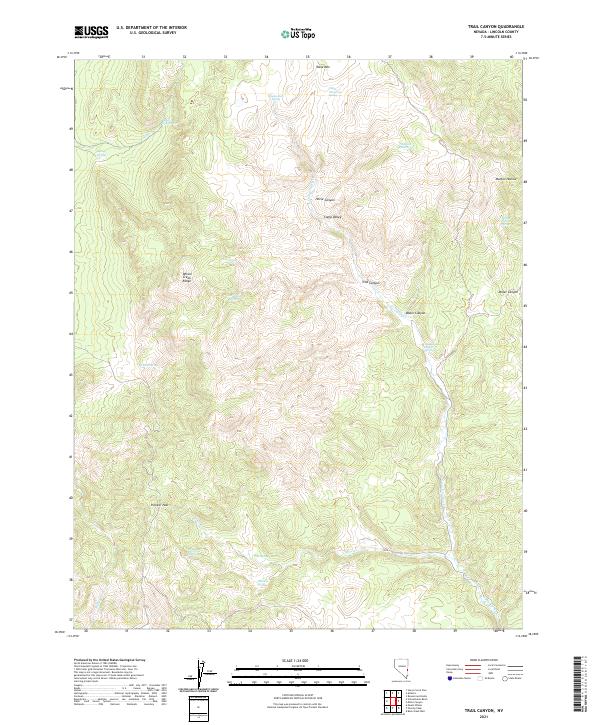
1973 Trail Canyon
Lincoln County, NV
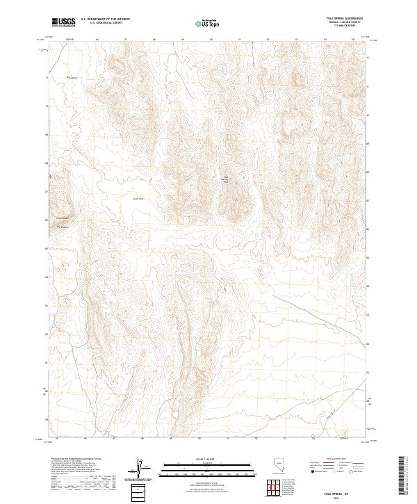
1973 Tule Spring
Lincoln County, NV
1973 Wells Summit
Lincoln County, NV
1976 Docs Pass
Lincoln County, NV
1978 Clover Mts
Lincoln County, NV
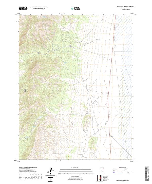
1978 Milk Ranch Spring
Lincoln County, NV
1978 The Gouge Eye
Lincoln County, NV
1980 Alamo SE
Lincoln County, NV
1982 Wilson Creek Range
Lincoln County, NV
1983 Badger Spring
Lincoln County, NV
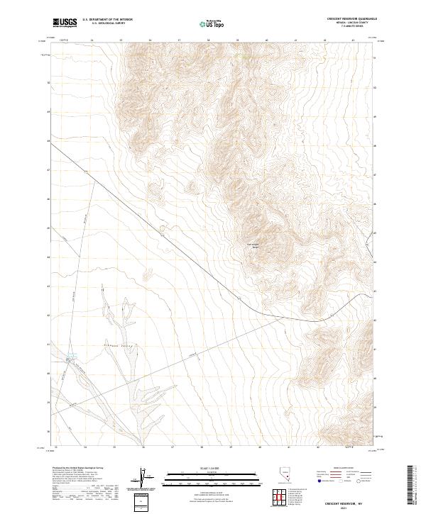
1983 Crescent Reservoir
Lincoln County, NV
1983 Cutler Reservoir
Lincoln County, NV
1983 Desert Hills NE
Lincoln County, NV
1983 Desert Hills NW
Lincoln County, NV
1983 Desert Hills SE
Lincoln County, NV
1983 Desert Hills SW
Lincoln County, NV
1983 Fallout Hills NE
Lincoln County, NV
1983 Groom Range NE
Lincoln County, NV
1983 Groom Range SE
Lincoln County, NV
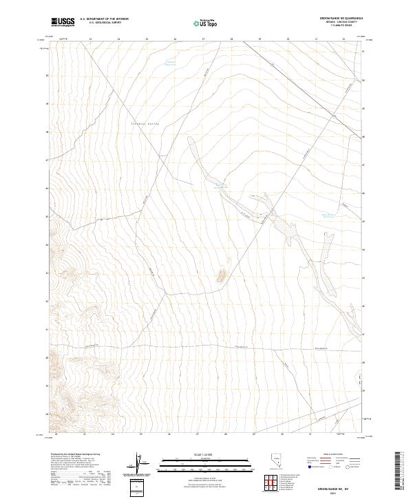
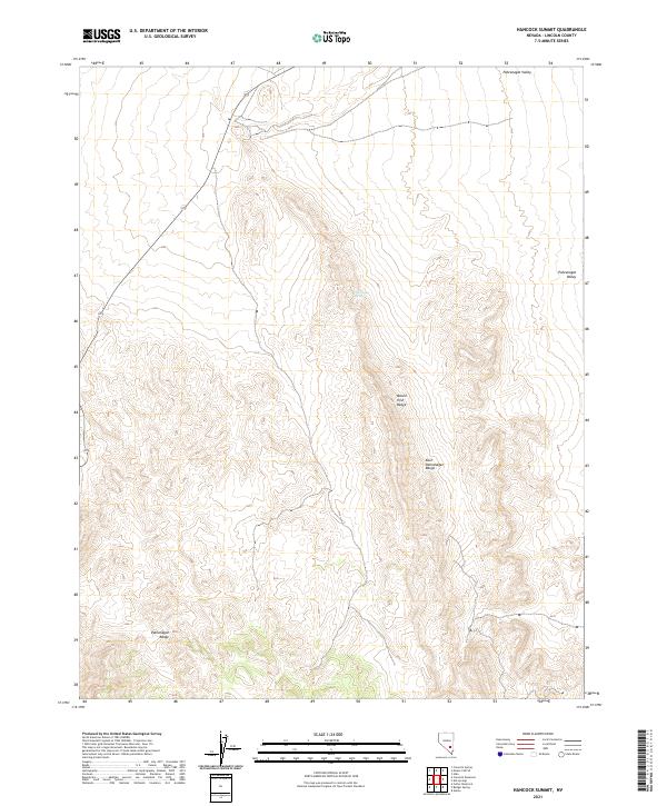
1983 Hancock Summit
Lincoln County, NV
1983 Southeastern Mine
Lincoln County, NV
1985 Coal Valley Reservoir
Lincoln County, NV

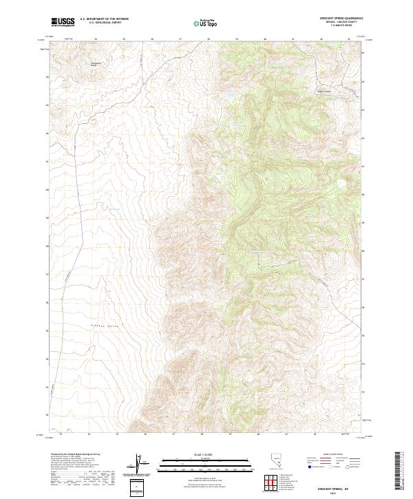
1985 Crescent Spring
Lincoln County, NV
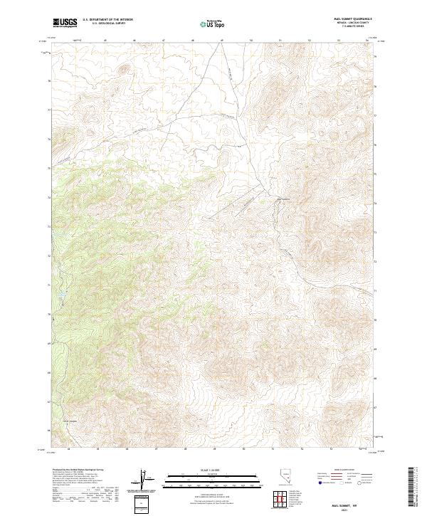
1985 Mail Summit
Lincoln County, NV
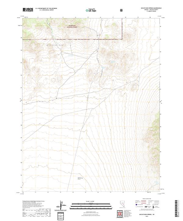
1985 McCutchen Spring
Lincoln County, NV
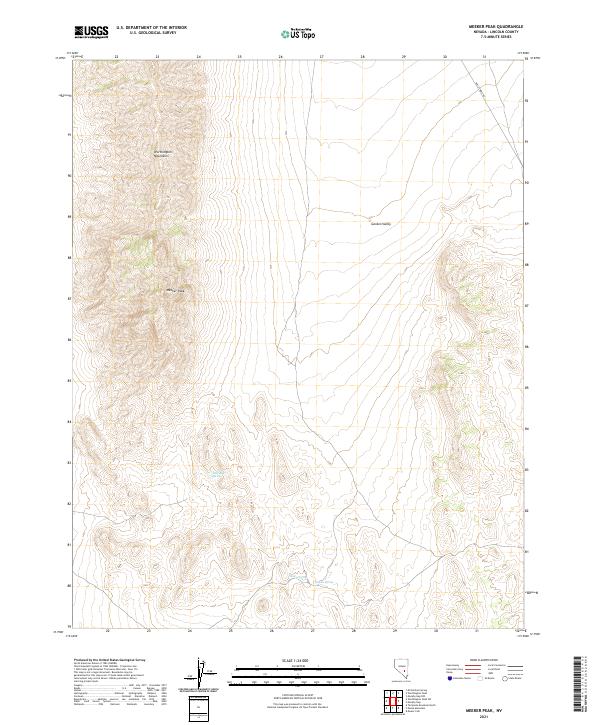
1985 Meeker Peak
Lincoln County, NV
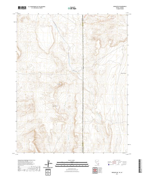
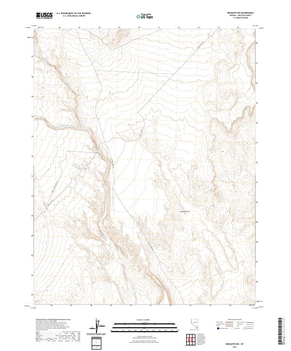
1985 Mesquite NE
Lincoln County, NV
1985 Mesquite NW
Lincoln County, NV
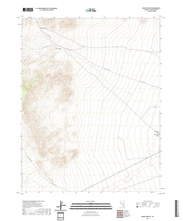
1985 Mount Irish
Lincoln County, NV
1985 Mount Irish SE
Lincoln County, NV
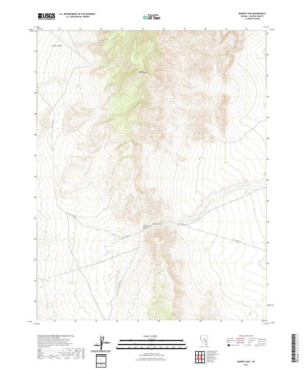
1985 Murphy Gap
Lincoln County, NV
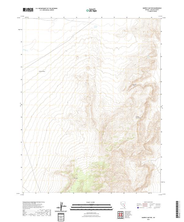
1985 Murphy Gap NW
Lincoln County, NV
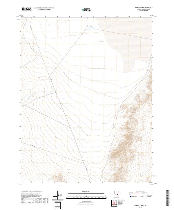
1985 Murphy Gap SE
Lincoln County, NV
1985 Pahranagat Range
Lincoln County, NV
1985 Quinn Canyon Springs
Lincoln County, NV
1985 Worthington Peak
Lincoln County, NV
1985 Worthington Peak SW
Lincoln County, NV
1986 Honest John Well
Lincoln County, NV
1987 Monte Mountain
Lincoln County, NV
1987 Tempiute Mountain North
Lincoln County, NV
1987 Tempiute Mountain SE
Lincoln County, NV
1987 Tempiute Mountain South
Lincoln County, NV
1987 White Blotch Springs NE
Lincoln County, NV
1987 White Blotch Springs SE
Lincoln County, NV
1988 Timpahute Range
Lincoln County, NV
1989 Cattle Spring
Lincoln County, NV
1989 Fallout Hills
Lincoln County, NV
1989 Fallout Hills NW
Lincoln County, NV

1989 Groom Mine
Lincoln County, NV
1989 Groom Range
Lincoln County, NV
1989 Groom Range SW
Lincoln County, NV
1989 Papoose Lake
Lincoln County, NV
1989 Papoose Range
Lincoln County, NV
2011 Deer Lodge Canyon
Lincoln County, NV
2011 Docs Pass
Lincoln County, NV
2011 Gleason Basin
Lincoln County, NV
2011 Hamlin Well
Lincoln County, NV
2011 Miller Wash
Lincoln County, NV
2011 Prohibition Flat
Lincoln County, NV
2011 Terry Benches
Lincoln County, NV
2011 White Rock Peak
Lincoln County, NV
2012 Acoma
Lincoln County, NV
2012 Alamo NE
Lincoln County, NV
2012 Alamo SE
Lincoln County, NV
2012 Ash Springs
Lincoln County, NV
2012 Atlanta
Lincoln County, NV
2012 Bailey Wash
Lincoln County, NV
2012 Bennett Pass
Lincoln County, NV
2012 Blue Nose Peak
Lincoln County, NV
2012 Bristol Range NE
Lincoln County, NV
2012 Bristol Range SE
Lincoln County, NV
2012 Bristol Well
Lincoln County, NV
2012 Buck Wash Well
Lincoln County, NV
2012 Bunker Peak
Lincoln County, NV
2012 Caliente NW
Lincoln County, NV
2012 Carp
Lincoln County, NV
2012 Cave Valley Well
Lincoln County, NV
2012 Chief Mountain
Lincoln County, NV
2012 Chokecherry Mountain
Lincoln County, NV
2012 Coal Valley Reservoir
Lincoln County, NV
2012 Condor Canyon
Lincoln County, NV

2012 Coyote Spring
Lincoln County, NV
2012 Crescent Reservoir
Lincoln County, NV
2012 Crescent Spring
Lincoln County, NV

2012 Davidson Peak
Lincoln County, NV
2012 Deadman Spring
Lincoln County, NV
2012 Deadman Spring NE
Lincoln County, NV
2012 Deadman Spring SE
Lincoln County, NV
2012 Deer Lodge Canyon
Lincoln County, NV
2012 Delamar Lake
Lincoln County, NV

2012 Delamar
Lincoln County, NV
2012 Delamar NW
Lincoln County, NV
2012 Docs Pass
Lincoln County, NV

2012 Dow Mountain
Lincoln County, NV
2012 Dutch John Mountain
Lincoln County, NV
2012 Eagle Valley Reservoir
Lincoln County, NV
2012 Eccles
Lincoln County, NV
2012 Elgin
Lincoln County, NV

2012 Elgin NE
Lincoln County, NV
2012 Elgin SW
Lincoln County, NV
2012 Ella Mountain
Lincoln County, NV
2012 Ely Springs
Lincoln County, NV
2012 Fairview Peak
Lincoln County, NV
2012 Fife Mountain
Lincoln County, NV

2012 Fossil Peak
Lincoln County, NV

2012 Garden Spring
Lincoln County, NV
2012 Gleason Basin
Lincoln County, NV
2012 Gouge Eye Well
Lincoln County, NV
2012 Grassy Mountain
Lincoln County, NV

2012 Gregerson Basin
Lincoln County, NV
2012 Groom Range NE
Lincoln County, NV
2012 Hamlin Well
Lincoln County, NV

2012 Hancock Summit
Lincoln County, NV
2012 Highland Peak
Lincoln County, NV
2012 Hiko NE
Lincoln County, NV
2012 Hiko SE
Lincoln County, NV
2012 Honest John Well
Lincoln County, NV
2012 Horse Corral Pass
Lincoln County, NV
2012 Hyde Well
Lincoln County, NV
2012 Indian Cove
Lincoln County, NV
2012 Islen
Lincoln County, NV

2012 Jacks Mountain
Lincoln County, NV
2012 Kane Springs Valley
Lincoln County, NV
2012 Leith
Lincoln County, NV
2012 Lime Mountain
Lincoln County, NV
2012 Lower Pahranagat Lake
Lincoln County, NV
2012 Lower Pahranagat Lake NW
Lincoln County, NV
2012 Lower Pahranagat Lake SE
Lincoln County, NV
2012 Lower Pahranagat Lake SW
Lincoln County, NV
2012 Lyman Crossing
Lincoln County, NV
2012 Mail Summit
Lincoln County, NV
2012 McCutchen Spring
Lincoln County, NV
2012 Meeker Peak
Lincoln County, NV
2012 Mesquite NE
Lincoln County, NV
2012 Mesquite NW
Lincoln County, NV

2012 Milk Ranch Spring
Lincoln County, NV
2012 Miller Canyon
Lincoln County, NV
2012 Miller Wash
Lincoln County, NV
2012 Moapa Peak NW
Lincoln County, NV
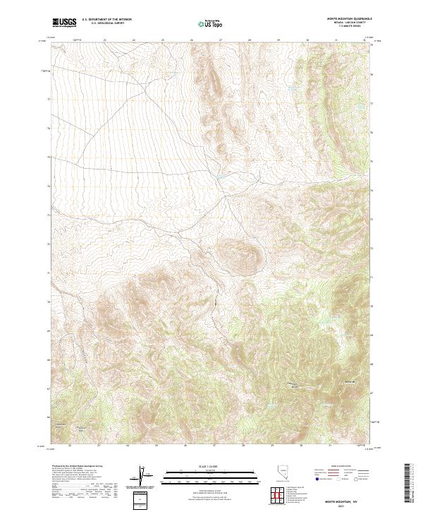
2012 Monte Mountain
Lincoln County, NV
2012 Mosey Mountain
Lincoln County, NV
2012 Mount Irish
Lincoln County, NV
2012 Mount Irish SE
Lincoln County, NV
2012 Mount Wilson SW
Lincoln County, NV
2012 Mule Deer Ridge NE
Lincoln County, NV
2012 Mule Deer Ridge NW
Lincoln County, NV
2012 Murphy Gap
Lincoln County, NV

2012 Murphy Gap NW
Lincoln County, NV
2012 Murphy Gap SE
Lincoln County, NV
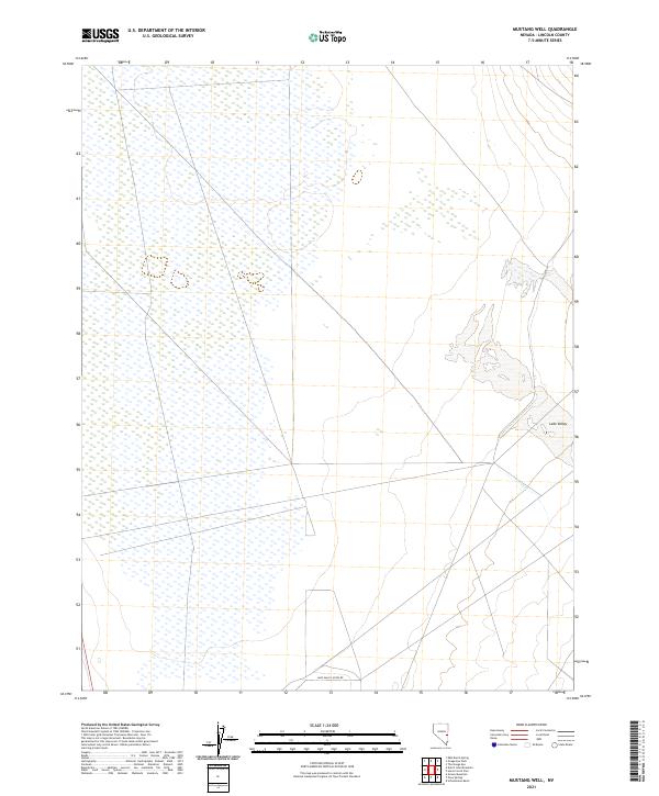
2012 Mustang Well
Lincoln County, NV
2012 Oreana Spring
Lincoln County, NV
2012 Pahranagat Wash
Lincoln County, NV
2012 Pahroc Spring
Lincoln County, NV
2012 Pahroc Spring NE
Lincoln County, NV
2012 Pahroc Spring SE
Lincoln County, NV
2012 Pahroc Summit Pass
Lincoln County, NV
2012 Panaca Summit
Lincoln County, NV
2012 Parsnip Peak
Lincoln County, NV
2012 Pierson Summit
Lincoln County, NV
2012 Pony Springs
Lincoln County, NV
2012 Prohibition Flat
Lincoln County, NV
2012 Quinn Canyon Springs
Lincoln County, NV
2012 Rosencrans Knolls
Lincoln County, NV
2012 Rose Valley
Lincoln County, NV
2012 Rox
Lincoln County, NV
2012 Rox NE
Lincoln County, NV
2012 Schoolmarm Basin
Lincoln County, NV
2012 Seaman Wash
Lincoln County, NV
2012 Shingle Pass
Lincoln County, NV
2012 Shingle Pass SE
Lincoln County, NV
2012 Sidehill Pass
Lincoln County, NV
2012 Sidehill Spring
Lincoln County, NV
2012 Silver King Mountain
Lincoln County, NV
2012 Silver King Mountain SW
Lincoln County, NV
2012 Silver King Well
Lincoln County, NV
2012 Slidy Mountain
Lincoln County, NV
2012 South of Delamar Lake
Lincoln County, NV
2012 South of Gregerson Basin
Lincoln County, NV
2012 Sunflower Mountain
Lincoln County, NV
2012 Tempiute Mountain North
Lincoln County, NV
2012 Tempiute Mountain SE
Lincoln County, NV
2012 Tempiute Mountain South
Lincoln County, NV
2012 Terry Benches
Lincoln County, NV
2012 The Bluffs
Lincoln County, NV
2012 The Gouge Eye
Lincoln County, NV
2012 Toquop Gap
Lincoln County, NV
2012 Trail Canyon
Lincoln County, NV
2012 Tule Spring
Lincoln County, NV
2012 Tweedy Wash
Lincoln County, NV

2012 Vigo
Lincoln County, NV
2012 Vigo NE
Lincoln County, NV
2012 Vigo NW
Lincoln County, NV
2012 Weepah Spring
Lincoln County, NV
2012 Wells Summit
Lincoln County, NV
2012 Wheatgrass Spring
Lincoln County, NV
2012 White Blotch Springs NE
Lincoln County, NV
2012 White Blotch Springs SE
Lincoln County, NV
2012 White River Narrows
Lincoln County, NV
2012 White Rock Peak
Lincoln County, NV
2012 Wildcat Wash NE
Lincoln County, NV
2012 Wildcat Wash NW
Lincoln County, NV
2012 Worthington Peak
Lincoln County, NV
2012 Worthington Peak SW
Lincoln County, NV
2014 Acoma
Lincoln County, NV
2014 Alamo NE
Lincoln County, NV

2014 Bennett Pass
Lincoln County, NV
2014 Blue Nose Peak
Lincoln County, NV
2014 Bristol Range NE
Lincoln County, NV
2014 Bristol Range SE
Lincoln County, NV
2014 Bristol Well
Lincoln County, NV
2014 Buck Wash Well
Lincoln County, NV
2014 Bunker Peak
Lincoln County, NV
2014 Caliente NW
Lincoln County, NV
2014 Carp
Lincoln County, NV
2014 Cave Valley Well
Lincoln County, NV
2014 Chief Mountain
Lincoln County, NV
2014 Chokecherry Mountain
Lincoln County, NV
2014 Coal Valley Reservoir
Lincoln County, NV
2014 Condor Canyon
Lincoln County, NV
2014 Coyote Spring
Lincoln County, NV
2014 Crescent Spring
Lincoln County, NV
2014 Davidson Peak
Lincoln County, NV
2014 Deadman Spring
Lincoln County, NV
2014 Deadman Spring NE
Lincoln County, NV
2014 Deadman Spring SE
Lincoln County, NV
2014 Deer Lodge Canyon
Lincoln County, NV
2014 Delamar Lake
Lincoln County, NV
2014 Delamar
Lincoln County, NV
2014 Delamar NW
Lincoln County, NV
2014 Docs Pass
Lincoln County, NV
2014 Dow Mountain
Lincoln County, NV
2014 Dutch John Mountain
Lincoln County, NV
2014 Eagle Valley Reservoir
Lincoln County, NV
2014 Eccles
Lincoln County, NV
2014 Elgin
Lincoln County, NV
2014 Elgin NE
Lincoln County, NV
2014 Ella Mountain
Lincoln County, NV
2014 Ely Springs
Lincoln County, NV
2014 Fife Mountain
Lincoln County, NV
2014 Fossil Peak
Lincoln County, NV
2014 Garden Spring
Lincoln County, NV
2014 Gleason Basin
Lincoln County, NV
2014 Gouge Eye Well
Lincoln County, NV
2014 Grassy Mountain
Lincoln County, NV
2014 Gregerson Basin
Lincoln County, NV
2014 Hamlin Well
Lincoln County, NV
2014 Highland Peak
Lincoln County, NV
2014 Hiko NE
Lincoln County, NV
2014 Hiko SE
Lincoln County, NV
2014 Hyde Well
Lincoln County, NV
2014 Indian Cove
Lincoln County, NV
2014 Jacks Mountain
Lincoln County, NV
2014 Leith
Lincoln County, NV
2014 Lime Mountain
Lincoln County, NV
2014 Lyman Crossing
Lincoln County, NV
2014 Mesquite NE
Lincoln County, NV
2014 Mesquite NW
Lincoln County, NV
2014 Milk Ranch Spring
Lincoln County, NV
2014 Miller Canyon
Lincoln County, NV
2014 Miller Wash
Lincoln County, NV
2014 Moapa Peak NW
Lincoln County, NV
2014 Monte Mountain
Lincoln County, NV

2014 Mosey Mountain
Lincoln County, NV
2014 Mount Irish
Lincoln County, NV
2014 Mount Irish SE
Lincoln County, NV
2014 Mount Wilson SW
Lincoln County, NV
2014 Murphy Gap NW
Lincoln County, NV
2014 Mustang Well
Lincoln County, NV
2014 Oreana Spring
Lincoln County, NV
2014 Pahranagat Wash
Lincoln County, NV
2014 Pahroc Spring
Lincoln County, NV
2014 Pahroc Spring NE
Lincoln County, NV
2014 Pahroc Spring SE
Lincoln County, NV
2014 Pahroc Summit Pass
Lincoln County, NV
2014 Panaca Summit
Lincoln County, NV
2014 Parsnip Peak
Lincoln County, NV
2014 Pierson Summit
Lincoln County, NV
2014 Pony Springs
Lincoln County, NV
2014 Prohibition Flat
Lincoln County, NV
2014 Rosencrans Knolls
Lincoln County, NV
2014 Rose Valley
Lincoln County, NV
2014 Rox
Lincoln County, NV
2014 Rox NE
Lincoln County, NV
2014 Schoolmarm Basin
Lincoln County, NV
2014 Sidehill Pass
Lincoln County, NV
2014 Sidehill Spring
Lincoln County, NV
2014 Silver King Mountain SW
Lincoln County, NV
2014 Silver King Well
Lincoln County, NV
2014 Slidy Mountain
Lincoln County, NV
2014 South of Delamar Lake
Lincoln County, NV
2014 Tempiute Mountain North
Lincoln County, NV
2014 Terry Benches
Lincoln County, NV
2014 The Bluffs
Lincoln County, NV
2014 The Gouge Eye
Lincoln County, NV
2014 Toquop Gap
Lincoln County, NV
2014 Trail Canyon
Lincoln County, NV
2014 Tule Spring
Lincoln County, NV
2014 Vigo
Lincoln County, NV
2014 Vigo NE
Lincoln County, NV
2014 Wells Summit
Lincoln County, NV

2014 Wheatgrass Spring
Lincoln County, NV
2014 White River Narrows
Lincoln County, NV
2014 White Rock Peak
Lincoln County, NV
2014 Wildcat Wash NE
Lincoln County, NV
2014 Worthington Peak SW
Lincoln County, NV
2015 Alamo SE
Lincoln County, NV
2015 Ash Springs
Lincoln County, NV
2015 Atlanta
Lincoln County, NV
2015 Bailey Wash
Lincoln County, NV
2015 Crescent Reservoir
Lincoln County, NV
2015 Elgin SW
Lincoln County, NV
2015 Fairview Peak
Lincoln County, NV
2015 Groom Range NE
Lincoln County, NV
2015 Hancock Summit
Lincoln County, NV
2015 Honest John Well
Lincoln County, NV
2015 Horse Corral Pass
Lincoln County, NV
2015 Islen
Lincoln County, NV
2015 Kane Springs Valley
Lincoln County, NV
2015 Lower Pahranagat Lake
Lincoln County, NV
2015 Lower Pahranagat Lake NW
Lincoln County, NV
2015 Lower Pahranagat Lake SE
Lincoln County, NV
2015 Lower Pahranagat Lake SW
Lincoln County, NV
2015 Mail Summit
Lincoln County, NV
2015 McCutchen Spring
Lincoln County, NV
2015 Meeker Peak
Lincoln County, NV
2015 Mule Deer Ridge NE
Lincoln County, NV
2015 Mule Deer Ridge NW
Lincoln County, NV
2015 Murphy Gap
Lincoln County, NV
2015 Murphy Gap SE
Lincoln County, NV
2015 Quinn Canyon Springs
Lincoln County, NV
2015 Seaman Wash
Lincoln County, NV

2015 Shingle Pass
Lincoln County, NV
2015 Shingle Pass SE
Lincoln County, NV
2015 Silver King Mountain
Lincoln County, NV
2015 South of Gregerson Basin
Lincoln County, NV
2015 Sunflower Mountain
Lincoln County, NV
2015 Tempiute Mountain SE
Lincoln County, NV
2015 Tempiute Mountain South
Lincoln County, NV
2015 Tweedy Wash
Lincoln County, NV
2015 Vigo NW
Lincoln County, NV
2015 Weepah Spring
Lincoln County, NV
2015 White Blotch Springs NE
Lincoln County, NV
2015 White Blotch Springs SE
Lincoln County, NV
2015 Wildcat Wash NW
Lincoln County, NV
2015 Worthington Peak
Lincoln County, NV
2018 Acoma
Lincoln County, NV
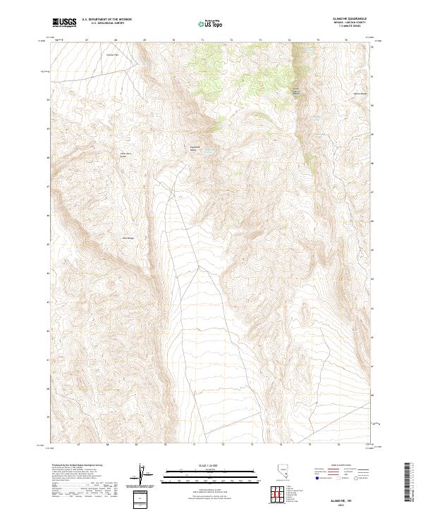
2018 Alamo NE
Lincoln County, NV
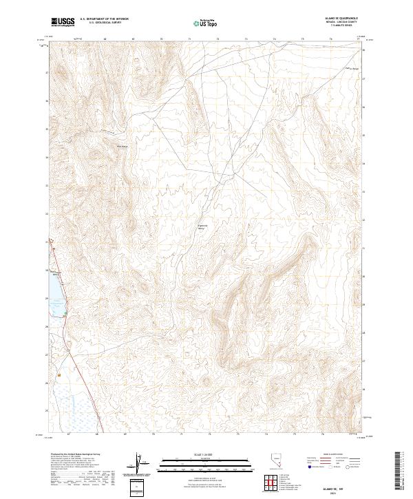
2018 Alamo SE
Lincoln County, NV
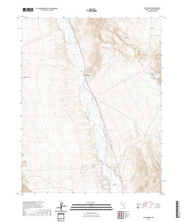
2018 Ash Springs
Lincoln County, NV
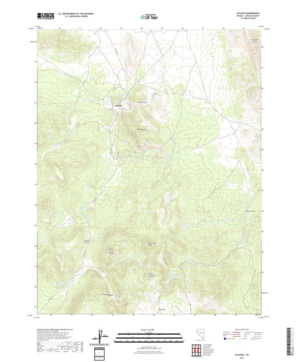
2018 Atlanta
Lincoln County, NV
2018 Bailey Wash
Lincoln County, NV
2018 Bennett Pass
Lincoln County, NV
2018 Blue Nose Peak
Lincoln County, NV
2018 Bristol Range NE
Lincoln County, NV
2018 Bristol Range SE
Lincoln County, NV
2018 Bristol Well
Lincoln County, NV
2018 Buck Wash Well
Lincoln County, NV
2018 Bunker Peak
Lincoln County, NV
2018 Caliente NW
Lincoln County, NV
2018 Carp
Lincoln County, NV
2018 Cave Valley Well
Lincoln County, NV
2018 Chief Mountain
Lincoln County, NV
2018 Chokecherry Mountain
Lincoln County, NV
2018 Coal Valley Reservoir
Lincoln County, NV
2018 Condor Canyon
Lincoln County, NV
2018 Coyote Spring
Lincoln County, NV
2018 Crescent Reservoir
Lincoln County, NV
2018 Crescent Spring
Lincoln County, NV

2018 Davidson Peak
Lincoln County, NV
2018 Deadman Spring
Lincoln County, NV
2018 Deadman Spring NE
Lincoln County, NV
2018 Deadman Spring SE
Lincoln County, NV
2018 Deer Lodge Canyon
Lincoln County, NV
2018 Delamar Lake
Lincoln County, NV
2018 Delamar
Lincoln County, NV
2018 Delamar NW
Lincoln County, NV
2018 Docs Pass
Lincoln County, NV
2018 Dow Mountain
Lincoln County, NV
2018 Dutch John Mountain
Lincoln County, NV
2018 Eagle Valley Reservoir
Lincoln County, NV
2018 Eccles
Lincoln County, NV
2018 Elgin
Lincoln County, NV
2018 Elgin NE
Lincoln County, NV
2018 Elgin SW
Lincoln County, NV
2018 Ella Mountain
Lincoln County, NV
2018 Ely Springs
Lincoln County, NV
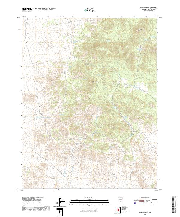
2018 Fairview Peak
Lincoln County, NV
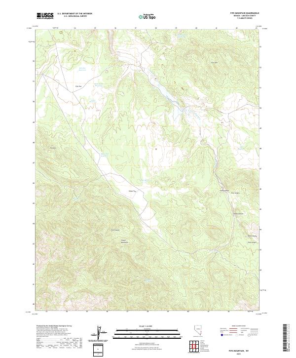
2018 Fife Mountain
Lincoln County, NV
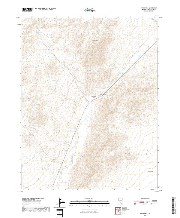
2018 Fossil Peak
Lincoln County, NV
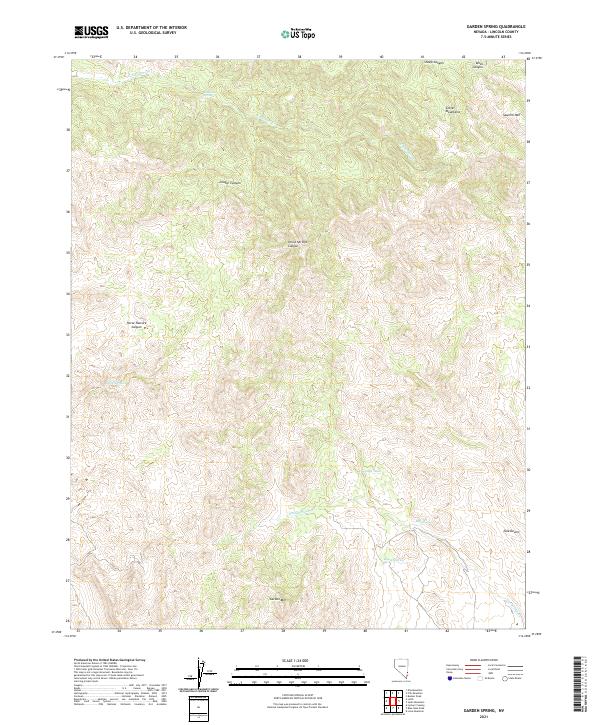
2018 Garden Spring
Lincoln County, NV
2018 Gleason Basin
Lincoln County, NV
2018 Gouge Eye Well
Lincoln County, NV
2018 Grassy Mountain
Lincoln County, NV
2018 Gregerson Basin
Lincoln County, NV
2018 Groom Range NE
Lincoln County, NV
2018 Hamlin Well
Lincoln County, NV

2018 Hancock Summit
Lincoln County, NV
2018 Highland Peak
Lincoln County, NV
2018 Hiko NE
Lincoln County, NV
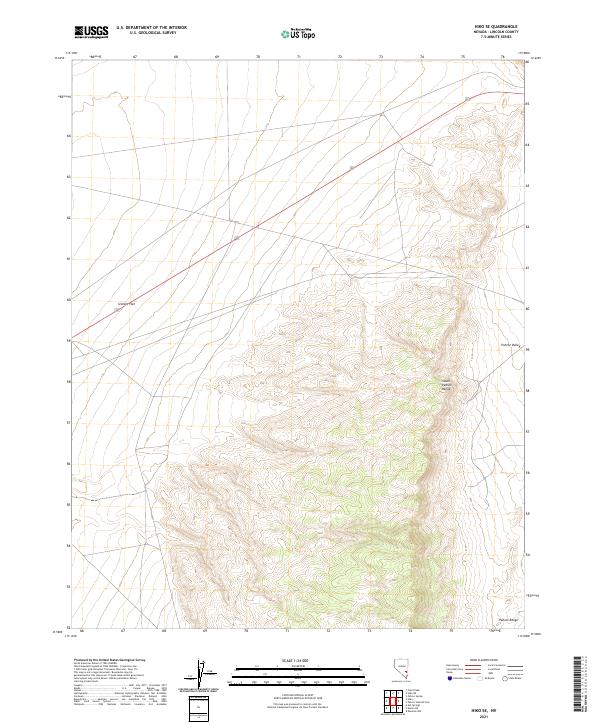
2018 Hiko SE
Lincoln County, NV
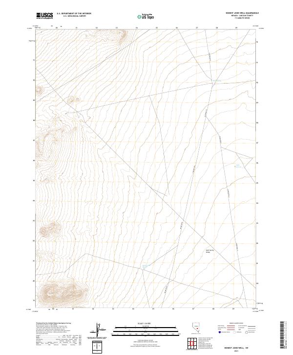
2018 Honest John Well
Lincoln County, NV
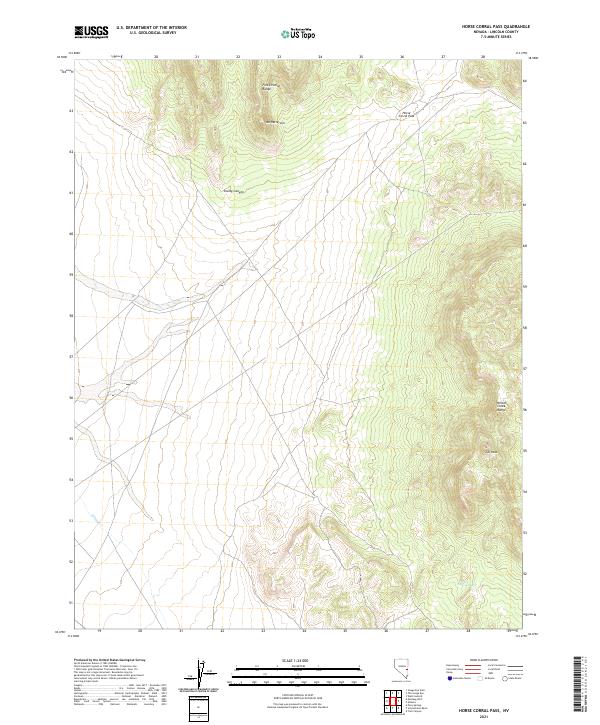
2018 Horse Corral Pass
Lincoln County, NV
2018 Hyde Well
Lincoln County, NV
2018 Indian Cove
Lincoln County, NV
2018 Islen
Lincoln County, NV
2018 Jacks Mountain
Lincoln County, NV
2018 Kane Springs Valley
Lincoln County, NV
2018 Leith
Lincoln County, NV
2018 Lime Mountain
Lincoln County, NV
2018 Lower Pahranagat Lake
Lincoln County, NV
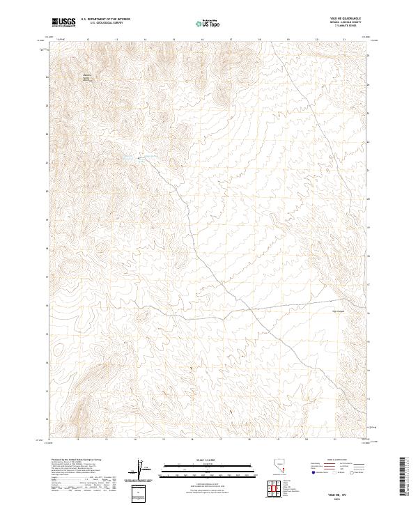
2018 Lower Pahranagat Lake NW
Lincoln County, NV
2018 Lower Pahranagat Lake SE
Lincoln County, NV
2018 Lower Pahranagat Lake SW
Lincoln County, NV
2018 Lyman Crossing
Lincoln County, NV
2018 Mail Summit
Lincoln County, NV
2018 McCutchen Spring
Lincoln County, NV
2018 Meeker Peak
Lincoln County, NV
2018 Mesquite NE
Lincoln County, NV
2018 Mesquite NW
Lincoln County, NV
2018 Milk Ranch Spring
Lincoln County, NV
2018 Miller Canyon
Lincoln County, NV
2018 Miller Wash
Lincoln County, NV
2018 Moapa Peak NW
Lincoln County, NV

2018 Monte Mountain
Lincoln County, NV
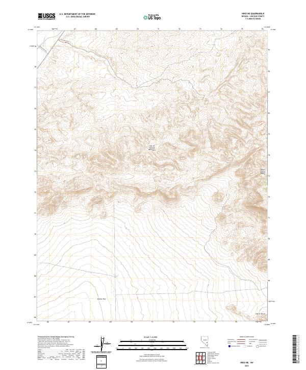
2018 Mosey Mountain
Lincoln County, NV
2018 Mount Irish
Lincoln County, NV
2018 Mount Irish SE
Lincoln County, NV
2018 Mount Wilson SW
Lincoln County, NV
2018 Mule Deer Ridge NE
Lincoln County, NV
2018 Mule Deer Ridge NW
Lincoln County, NV
2018 Murphy Gap
Lincoln County, NV
2018 Murphy Gap NW
Lincoln County, NV
2018 Murphy Gap SE
Lincoln County, NV
2018 Mustang Well
Lincoln County, NV

2018 Oreana Spring
Lincoln County, NV
2018 Pahranagat Wash
Lincoln County, NV
2018 Pahroc Spring
Lincoln County, NV
2018 Pahroc Spring NE
Lincoln County, NV
2018 Pahroc Spring SE
Lincoln County, NV
2018 Pahroc Summit Pass
Lincoln County, NV
2018 Panaca Summit
Lincoln County, NV
2018 Parsnip Peak
Lincoln County, NV
2018 Pierson Summit
Lincoln County, NV
2018 Pony Springs
Lincoln County, NV

2018 Prohibition Flat
Lincoln County, NV
2018 Quinn Canyon Springs
Lincoln County, NV
2018 Rosencrans Knolls
Lincoln County, NV
2018 Rose Valley
Lincoln County, NV
2018 Rox
Lincoln County, NV

2018 Rox NE
Lincoln County, NV
2018 Schoolmarm Basin
Lincoln County, NV
2018 Seaman Wash
Lincoln County, NV
2018 Shingle Pass
Lincoln County, NV
2018 Shingle Pass SE
Lincoln County, NV

2018 Sidehill Pass
Lincoln County, NV
2018 Sidehill Spring
Lincoln County, NV
2018 Silver King Mountain
Lincoln County, NV
2018 Silver King Mountain SW
Lincoln County, NV
2018 Silver King Well
Lincoln County, NV
2018 Slidy Mountain
Lincoln County, NV
2018 South of Delamar Lake
Lincoln County, NV
2018 South of Gregerson Basin
Lincoln County, NV
2018 Sunflower Mountain
Lincoln County, NV
2018 Tempiute Mountain North
Lincoln County, NV
2018 Tempiute Mountain SE
Lincoln County, NV
2018 Tempiute Mountain South
Lincoln County, NV
2018 Terry Benches
Lincoln County, NV
2018 The Bluffs
Lincoln County, NV
2018 The Gouge Eye
Lincoln County, NV
2018 Toquop Gap
Lincoln County, NV
2018 Trail Canyon
Lincoln County, NV
2018 Tule Spring
Lincoln County, NV
2018 Tweedy Wash
Lincoln County, NV
2018 Vigo
Lincoln County, NV
2018 Vigo NE
Lincoln County, NV
2018 Vigo NW
Lincoln County, NV

2018 Weepah Spring
Lincoln County, NV

2018 Wells Summit
Lincoln County, NV
2018 Wheatgrass Spring
Lincoln County, NV
2018 White Blotch Springs NE
Lincoln County, NV
2018 White Blotch Springs SE
Lincoln County, NV
2018 White River Narrows
Lincoln County, NV
2018 White Rock Peak
Lincoln County, NV
2018 Wildcat Wash NE
Lincoln County, NV
2018 Wildcat Wash NW
Lincoln County, NV
2018 Worthington Peak
Lincoln County, NV
2018 Worthington Peak SW
Lincoln County, NV
2021 Acoma
Lincoln County, NV
2021 Alamo NE
Lincoln County, NV
2021 Alamo SE
Lincoln County, NV
2021 Ash Springs
Lincoln County, NV
2021 Atlanta
Lincoln County, NV
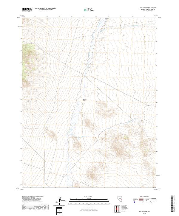
2021 Bailey Wash
Lincoln County, NV
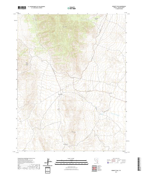
2021 Bennett Pass
Lincoln County, NV
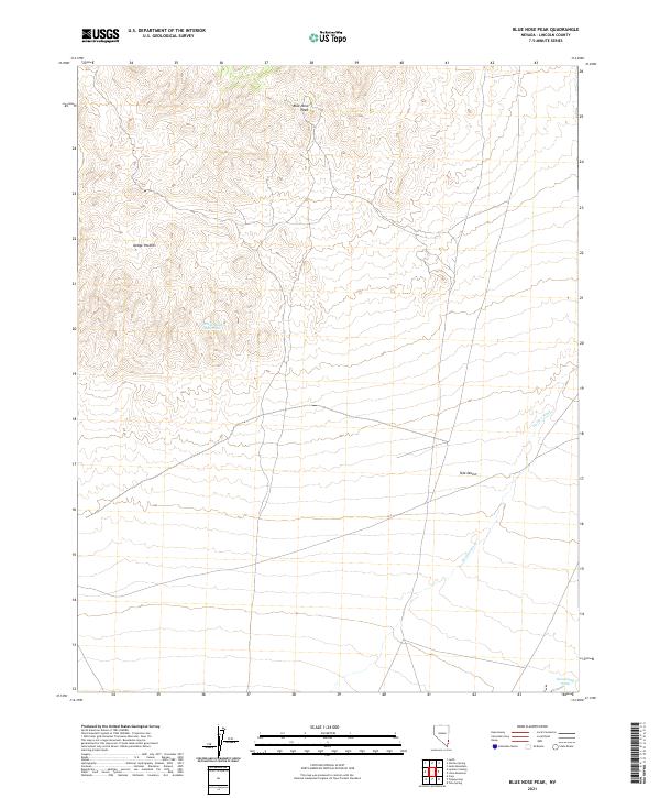
2021 Blue Nose Peak
Lincoln County, NV
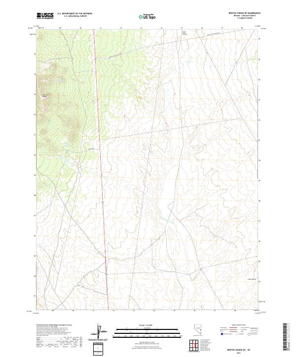
2021 Bristol Range NE
Lincoln County, NV
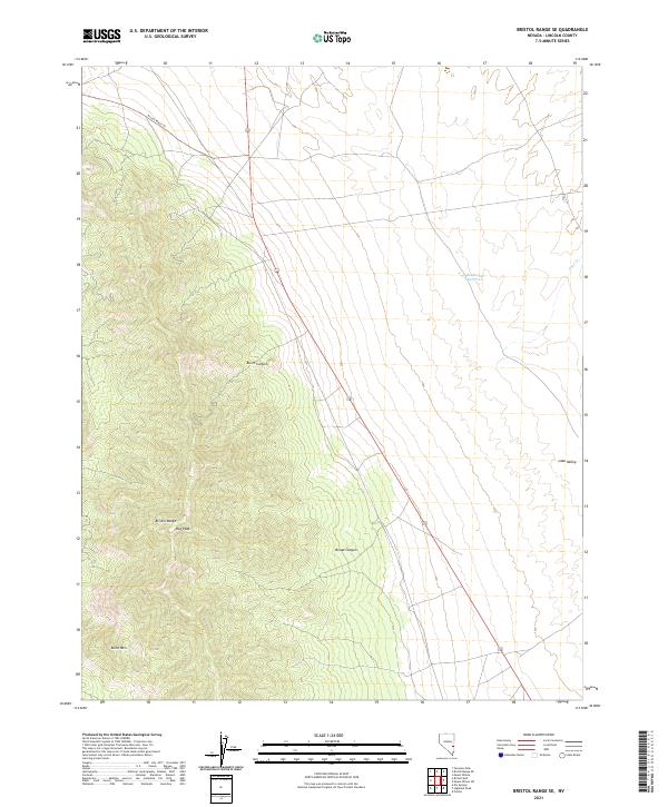
2021 Bristol Range SE
Lincoln County, NV
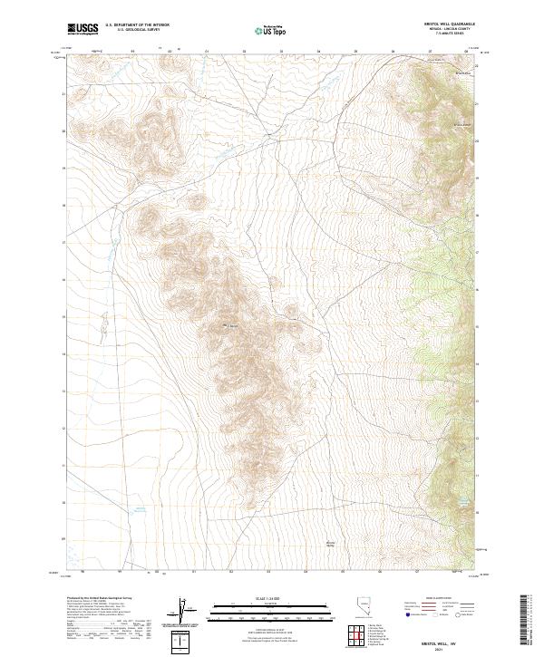
2021 Bristol Well
Lincoln County, NV
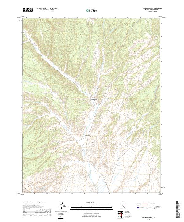
2021 Buck Wash Well
Lincoln County, NV
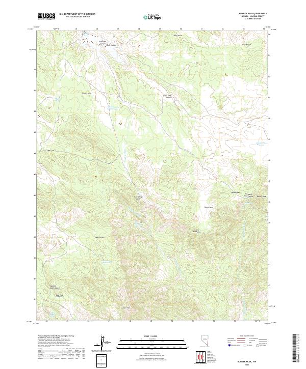
2021 Bunker Peak
Lincoln County, NV
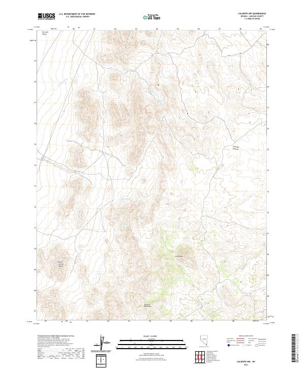
2021 Caliente NW
Lincoln County, NV
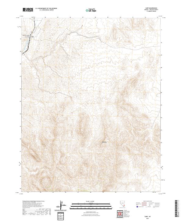
2021 Carp
Lincoln County, NV
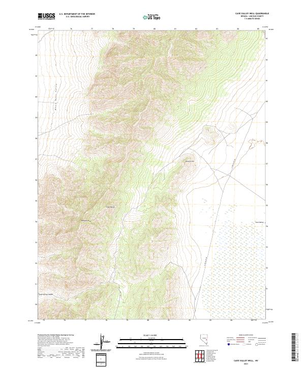
2021 Cave Valley Well
Lincoln County, NV
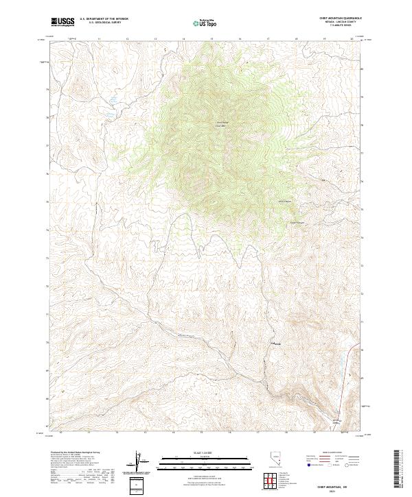
2021 Chief Mountain
Lincoln County, NV
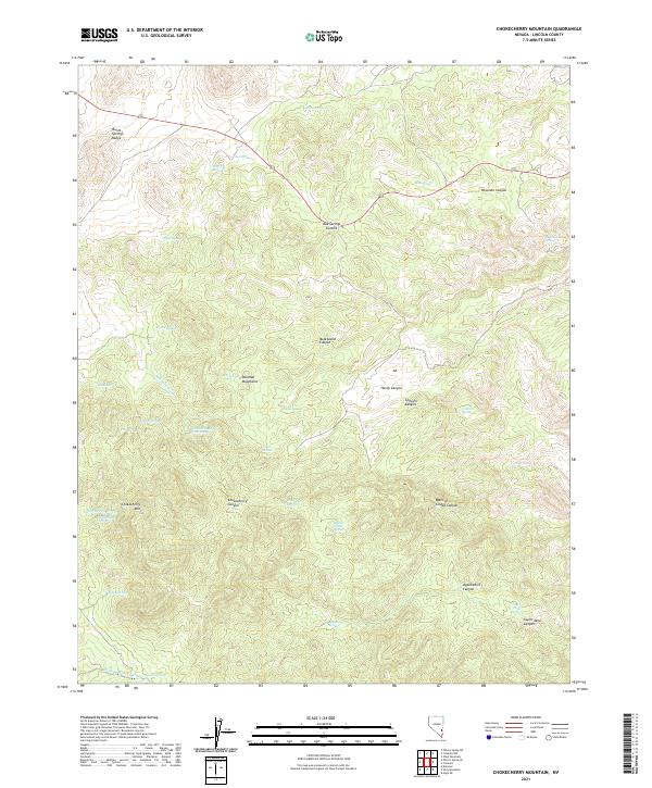
2021 Chokecherry Mountain
Lincoln County, NV
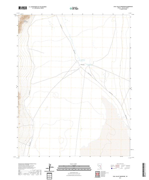
2021 Coal Valley Reservoir
Lincoln County, NV
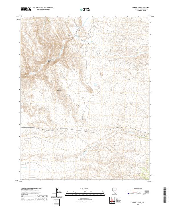
2021 Condor Canyon
Lincoln County, NV
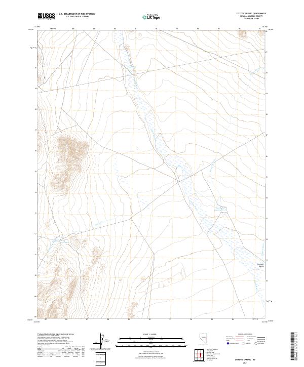
2021 Coyote Spring
Lincoln County, NV
2021 Crescent Reservoir
Lincoln County, NV
2021 Crescent Spring
Lincoln County, NV
2021 Davidson Peak
Lincoln County, NV
2021 Deadman Spring
Lincoln County, NV
2021 Deadman Spring NE
Lincoln County, NV
2021 Deadman Spring SE
Lincoln County, NV
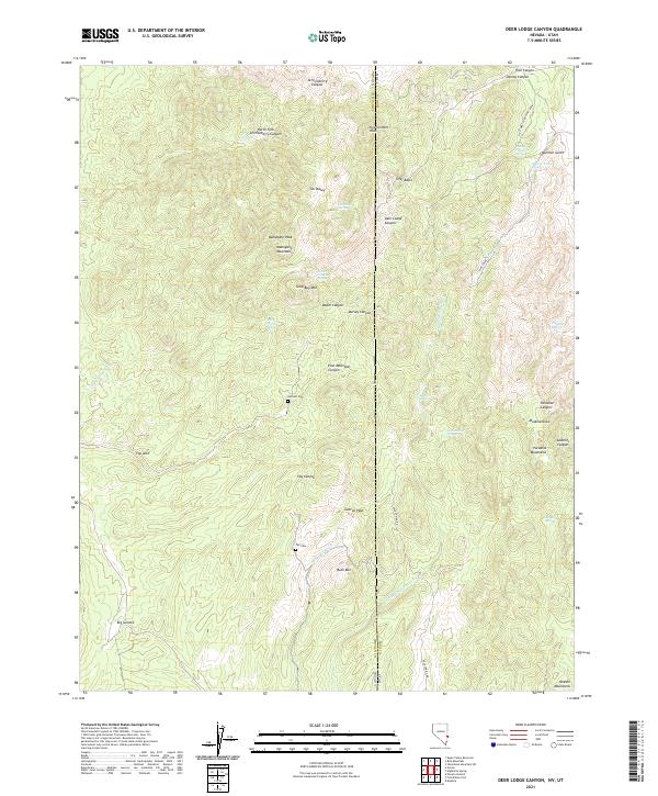
2021 Deer Lodge Canyon
Lincoln County, NV
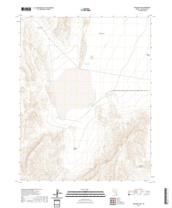
2021 Delamar Lake
Lincoln County, NV
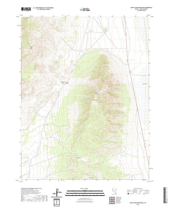
2021 Delamar
Lincoln County, NV
2021 Delamar NW
Lincoln County, NV
2021 Docs Pass
Lincoln County, NV
2021 Dow Mountain
Lincoln County, NV
2021 Dutch John Mountain
Lincoln County, NV
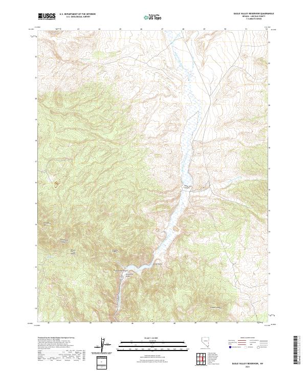
2021 Eagle Valley Reservoir
Lincoln County, NV
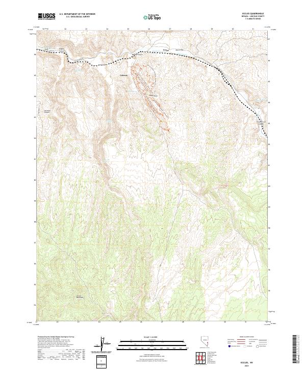
2021 Eccles
Lincoln County, NV
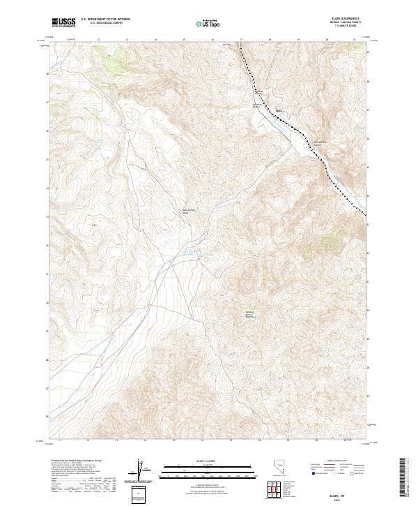
2021 Elgin
Lincoln County, NV
2021 Elgin NE
Lincoln County, NV
2021 Elgin SW
Lincoln County, NV
2021 Ella Mountain
Lincoln County, NV
2021 Ely Springs
Lincoln County, NV
2021 Fairview Peak
Lincoln County, NV
2021 Fife Mountain
Lincoln County, NV
2021 Fossil Peak
Lincoln County, NV
2021 Garden Spring
Lincoln County, NV
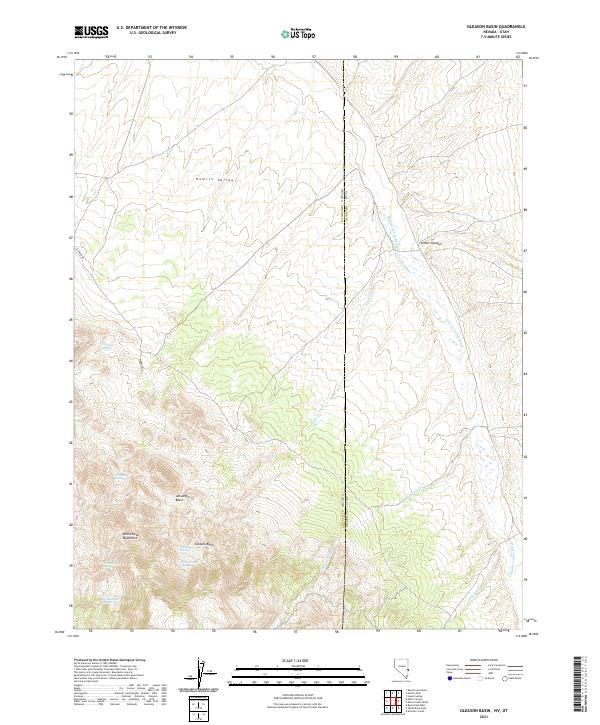
2021 Gleason Basin
Lincoln County, NV
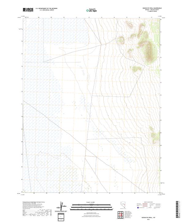
2021 Gouge Eye Well
Lincoln County, NV
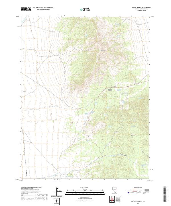
2021 Grassy Mountain
Lincoln County, NV
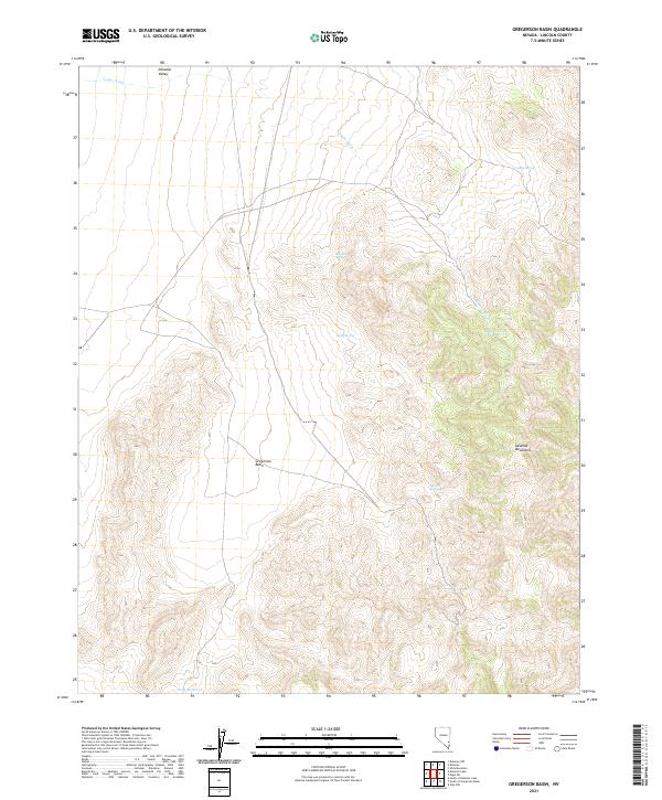
2021 Gregerson Basin
Lincoln County, NV
2021 Groom Range NE
Lincoln County, NV
2021 Hamlin Well
Lincoln County, NV
2021 Hancock Summit
Lincoln County, NV
2021 Highland Peak
Lincoln County, NV
2021 Hiko NE
Lincoln County, NV
2021 Hiko SE
Lincoln County, NV
2021 Honest John Well
Lincoln County, NV
2021 Horse Corral Pass
Lincoln County, NV
2021 Hyde Well
Lincoln County, NV
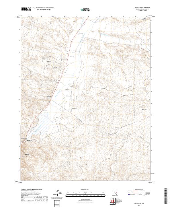
2021 Indian Cove
Lincoln County, NV
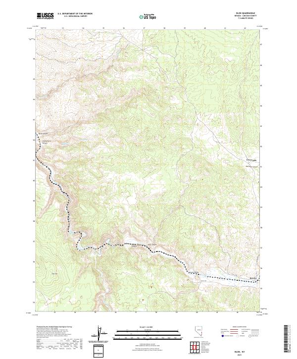
2021 Islen
Lincoln County, NV
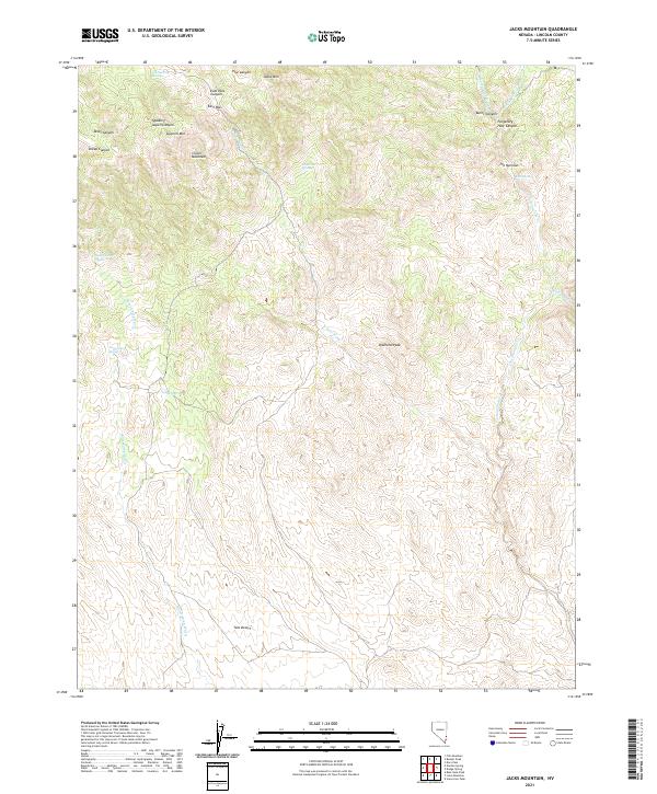
2021 Jacks Mountain
Lincoln County, NV
2021 Kane Springs Valley
Lincoln County, NV
2021 Leith
Lincoln County, NV
2021 Lime Mountain
Lincoln County, NV
2021 Lower Pahranagat Lake
Lincoln County, NV
2021 Lower Pahranagat Lake NW
Lincoln County, NV
2021 Lower Pahranagat Lake SE
Lincoln County, NV
2021 Lower Pahranagat Lake SW
Lincoln County, NV
2021 Lyman Crossing
Lincoln County, NV
2021 Mail Summit
Lincoln County, NV
2021 McCutchen Spring
Lincoln County, NV
2021 Meeker Peak
Lincoln County, NV
2021 Mesquite NE
Lincoln County, NV
2021 Mesquite NW
Lincoln County, NV
2021 Milk Ranch Spring
Lincoln County, NV
2021 Miller Canyon
Lincoln County, NV
2021 Miller Wash
Lincoln County, NV
2021 Moapa Peak NW
Lincoln County, NV
2021 Monte Mountain
Lincoln County, NV
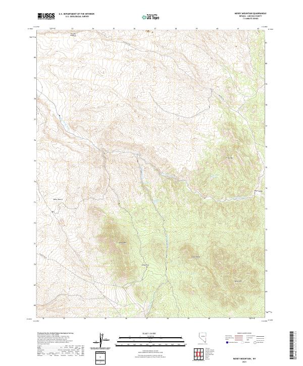
2021 Mosey Mountain
Lincoln County, NV
2021 Mount Irish
Lincoln County, NV
2021 Mount Irish SE
Lincoln County, NV
2021 Mount Wilson SW
Lincoln County, NV
2021 Mule Deer Ridge NE
Lincoln County, NV
2021 Mule Deer Ridge NW
Lincoln County, NV
2021 Murphy Gap
Lincoln County, NV
2021 Murphy Gap NW
Lincoln County, NV
2021 Murphy Gap SE
Lincoln County, NV
2021 Mustang Well
Lincoln County, NV
2021 Oreana Spring
Lincoln County, NV
2021 Pahranagat Wash
Lincoln County, NV
2021 Pahroc Spring
Lincoln County, NV
2021 Pahroc Spring NE
Lincoln County, NV
2021 Pahroc Spring SE
Lincoln County, NV
2021 Pahroc Summit Pass
Lincoln County, NV
2021 Panaca Summit
Lincoln County, NV
2021 Parsnip Peak
Lincoln County, NV
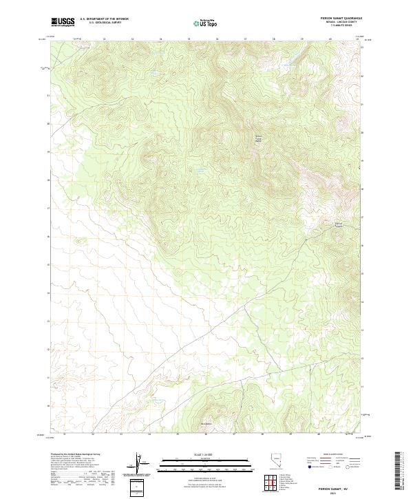
2021 Pierson Summit
Lincoln County, NV
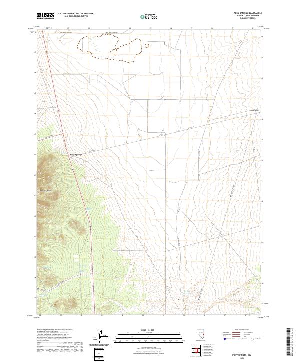
2021 Pony Springs
Lincoln County, NV
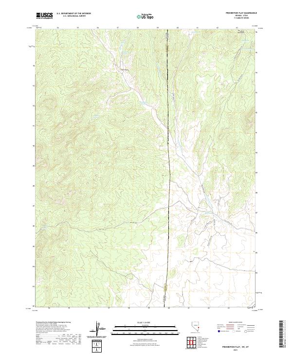
2021 Prohibition Flat
Lincoln County, NV
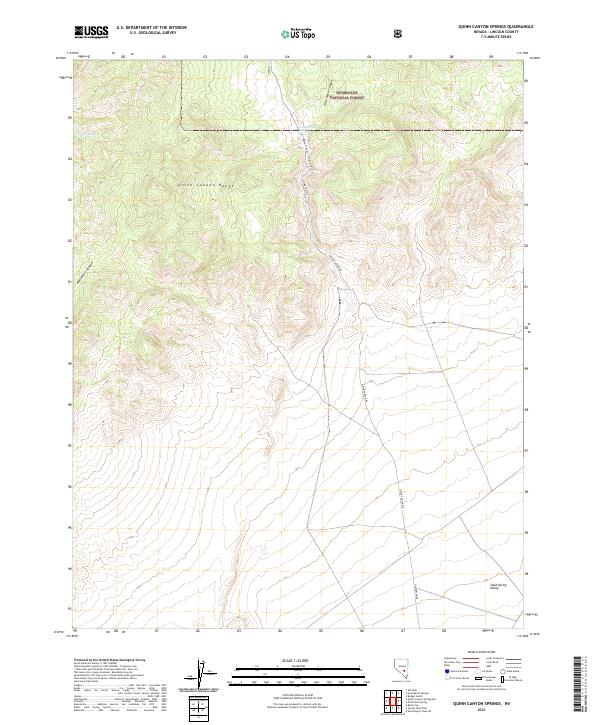
2021 Quinn Canyon Springs
Lincoln County, NV
2021 Rosencrans Knolls
Lincoln County, NV
2021 Rose Valley
Lincoln County, NV
2021 Rox
Lincoln County, NV
2021 Rox NE
Lincoln County, NV
2021 Schoolmarm Basin
Lincoln County, NV
2021 Seaman Wash
Lincoln County, NV
2021 Shingle Pass
Lincoln County, NV
2021 Shingle Pass SE
Lincoln County, NV
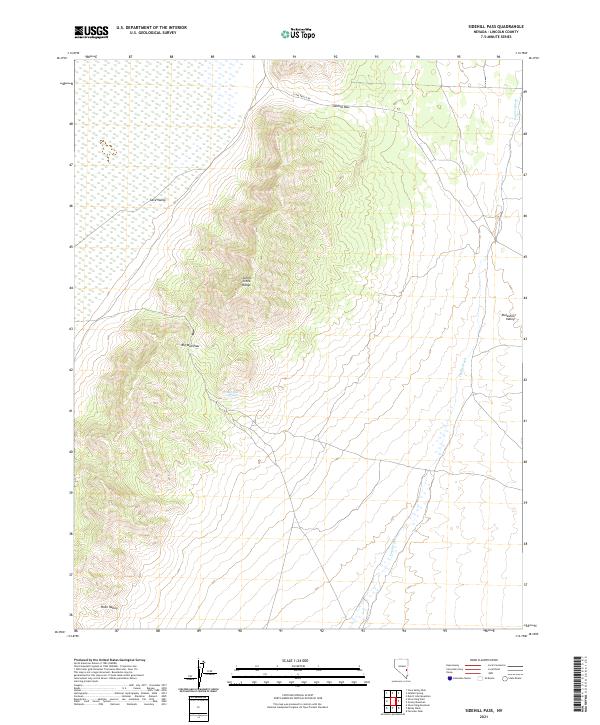
2021 Sidehill Pass
Lincoln County, NV
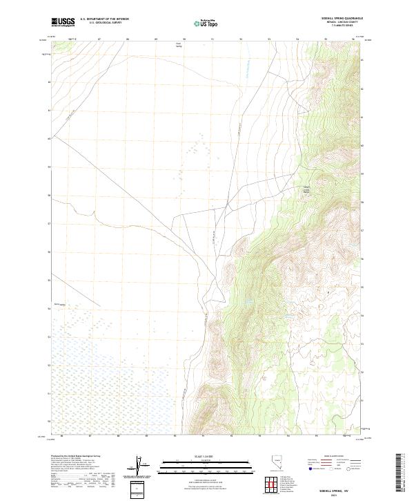
2021 Sidehill Spring
Lincoln County, NV
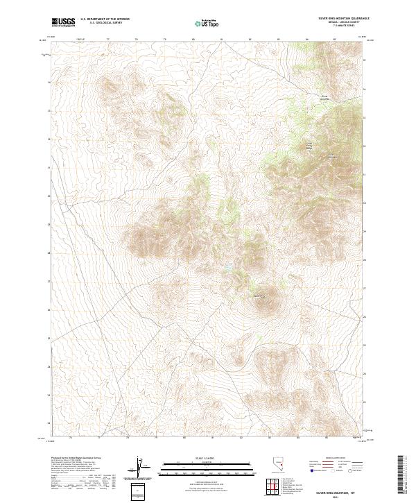
2021 Silver King Mountain
Lincoln County, NV
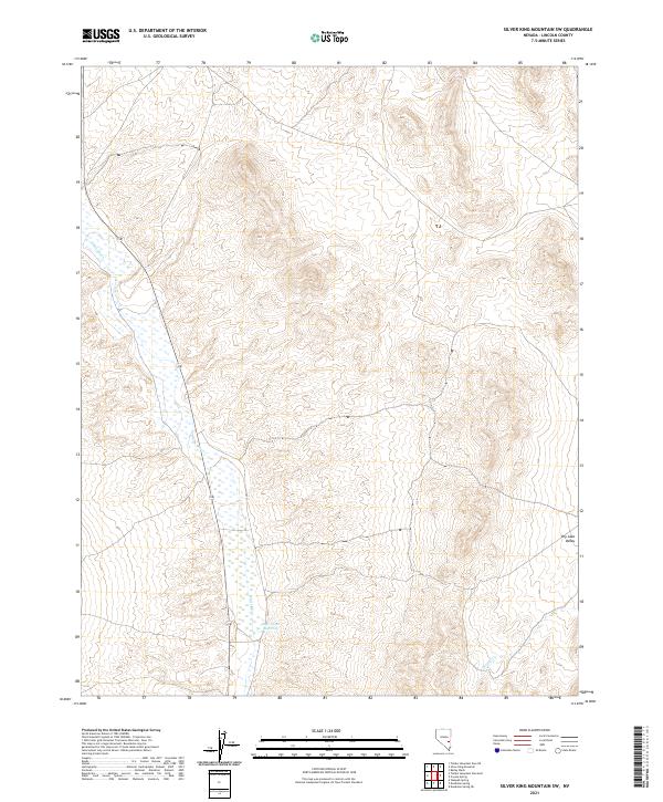
2021 Silver King Mountain SW
Lincoln County, NV
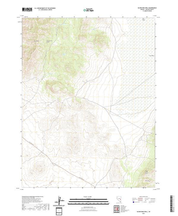
2021 Silver King Well
Lincoln County, NV
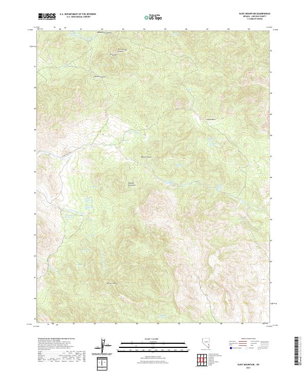
2021 Slidy Mountain
Lincoln County, NV
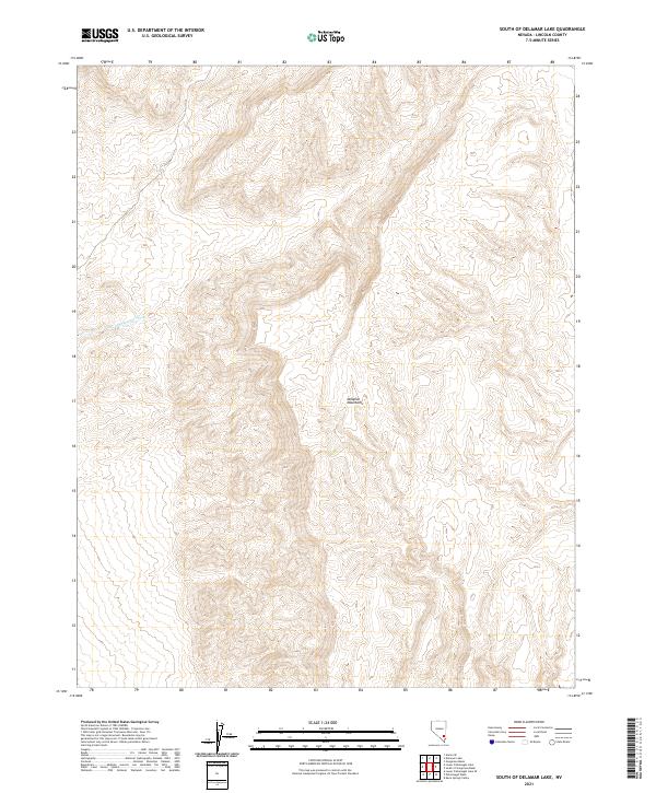
2021 South of Delamar Lake
Lincoln County, NV
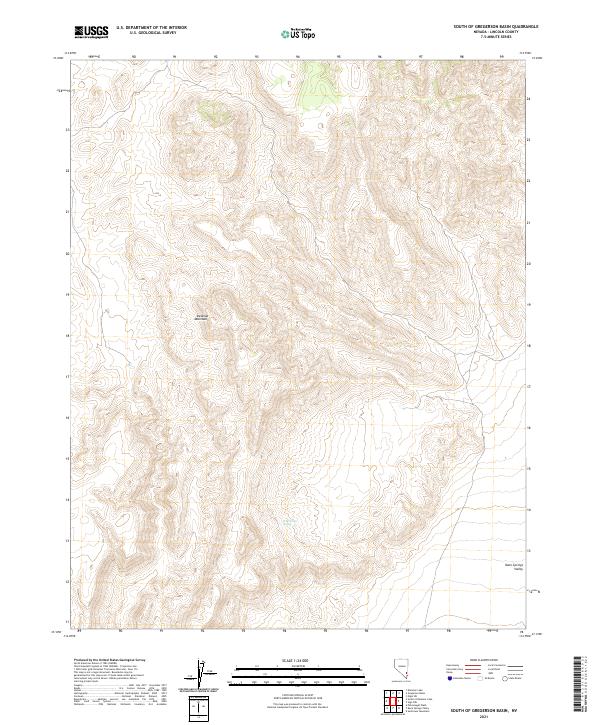
2021 South of Gregerson Basin
Lincoln County, NV
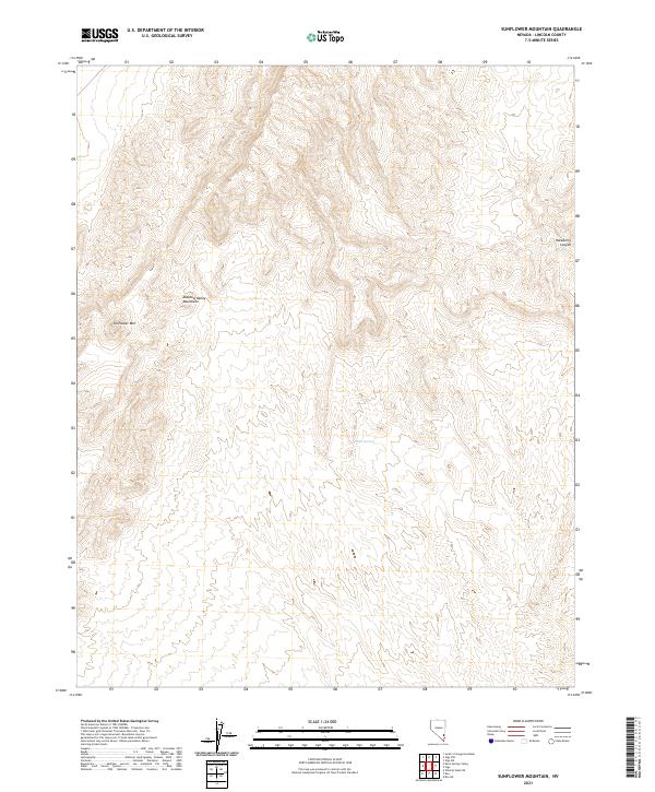
2021 Sunflower Mountain
Lincoln County, NV
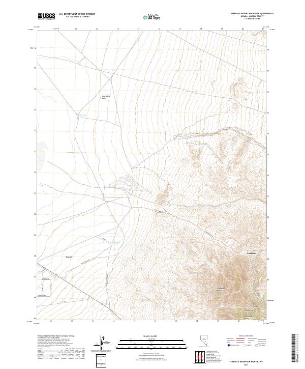
2021 Tempiute Mountain North
Lincoln County, NV
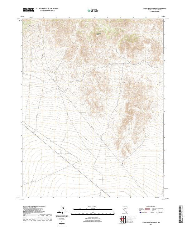
2021 Tempiute Mountain SE
Lincoln County, NV
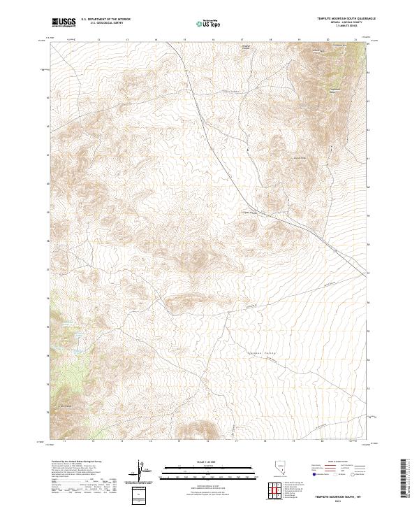
2021 Tempiute Mountain South
Lincoln County, NV
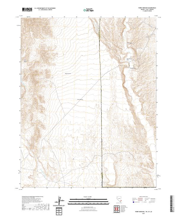
2021 Terry Benches
Lincoln County, NV
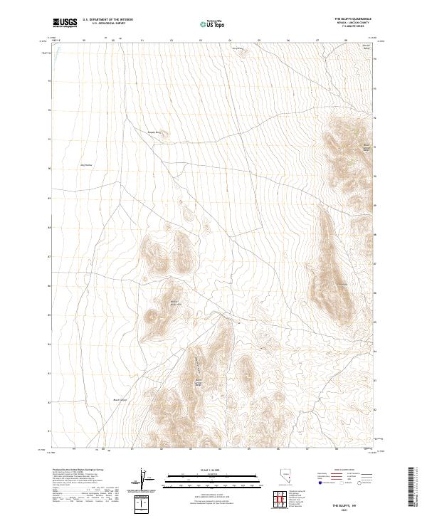
2021 The Bluffs
Lincoln County, NV
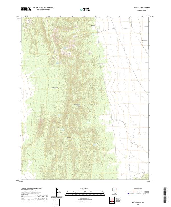
2021 The Gouge Eye
Lincoln County, NV
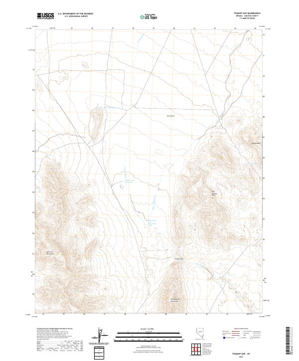
2021 Toquop Gap
Lincoln County, NV
2021 Trail Canyon
Lincoln County, NV
2021 Tule Spring
Lincoln County, NV
2021 Tweedy Wash
Lincoln County, NV
2021 Vigo
Lincoln County, NV
2021 Vigo NE
Lincoln County, NV
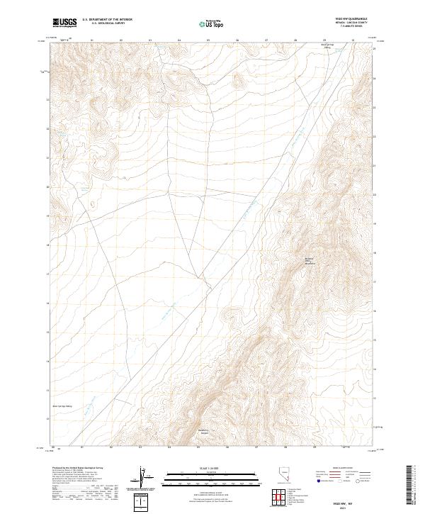
2021 Vigo NW
Lincoln County, NV
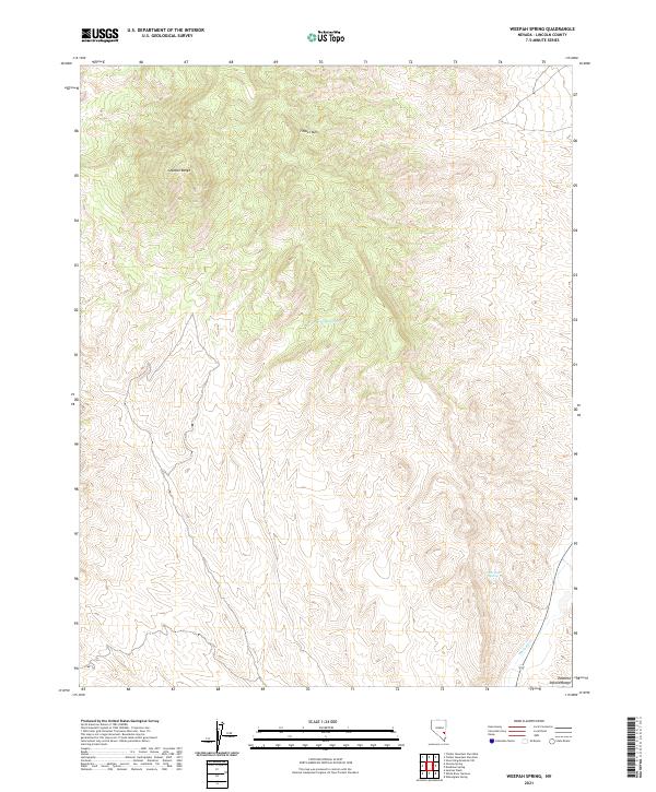
2021 Weepah Spring
Lincoln County, NV
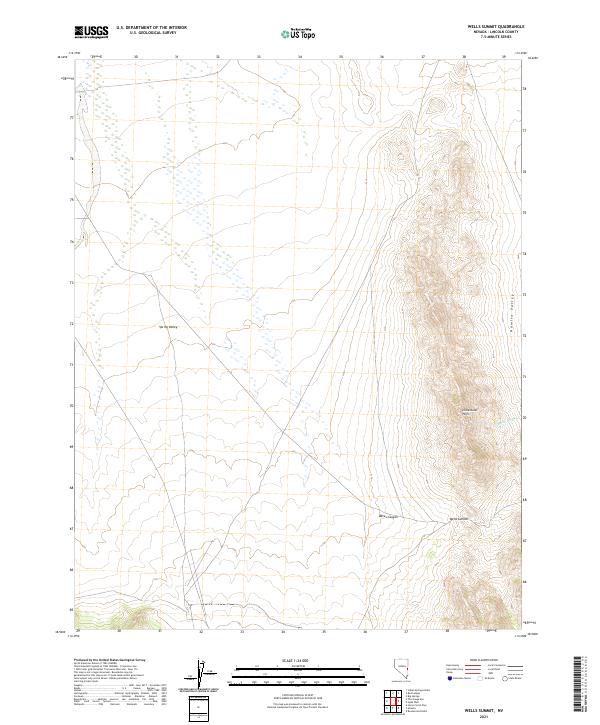
2021 Wells Summit
Lincoln County, NV
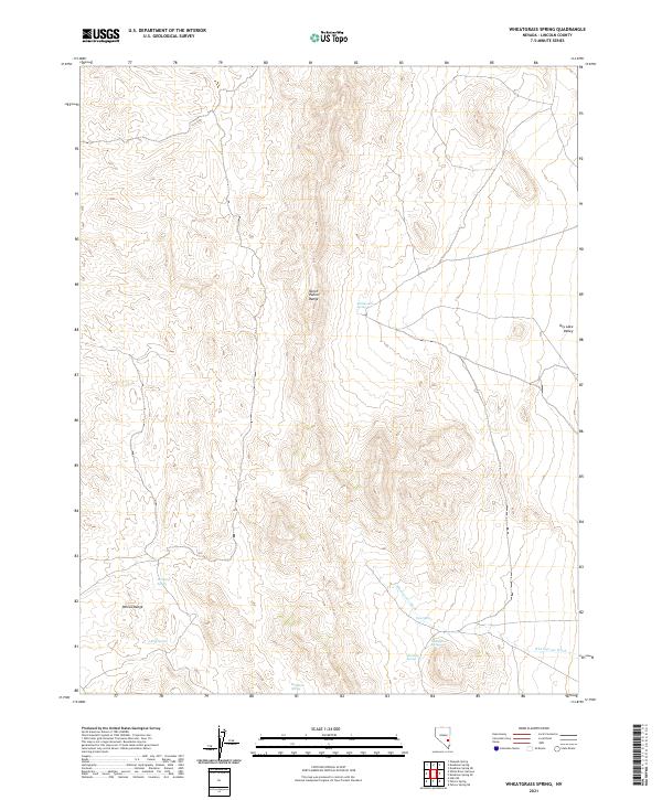
2021 Wheatgrass Spring
Lincoln County, NV
2021 White Blotch Springs NE
Lincoln County, NV
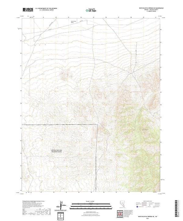
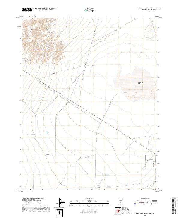
2021 White Blotch Springs SE
Lincoln County, NV
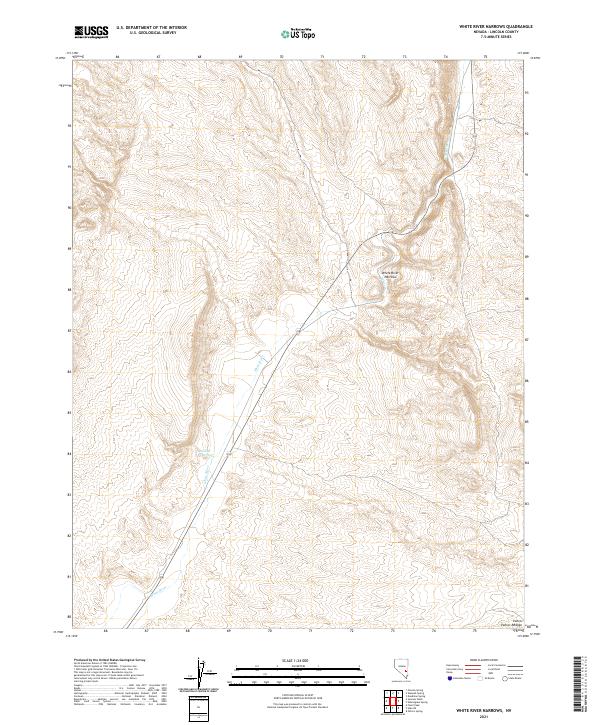
2021 White River Narrows
Lincoln County, NV
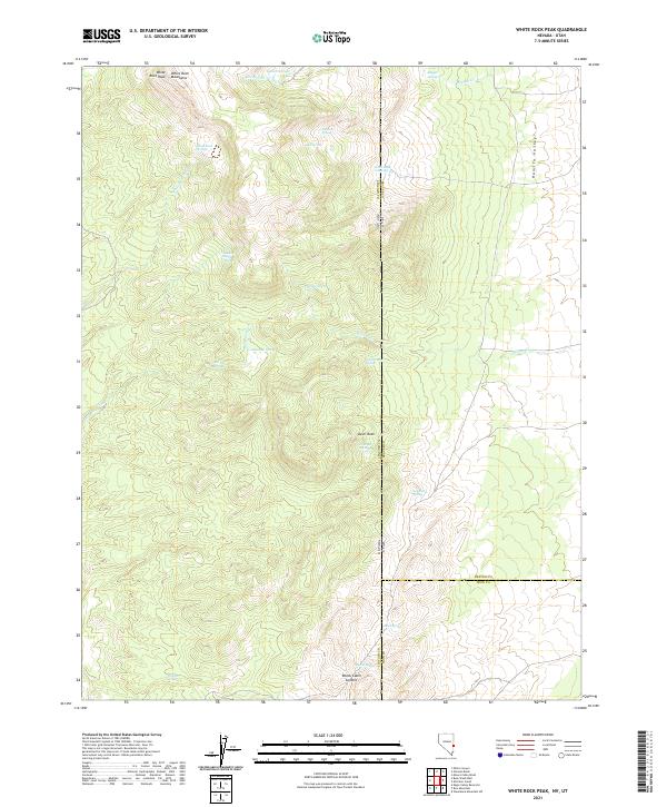
2021 White Rock Peak
Lincoln County, NV
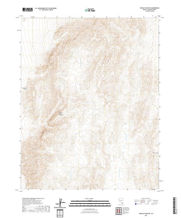
2021 Wildcat Wash NE
Lincoln County, NV
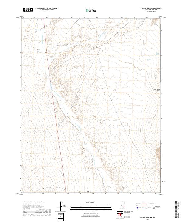
2021 Wildcat Wash NW
Lincoln County, NV
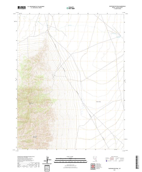
2021 Worthington Peak
Lincoln County, NV

2021 Worthington Peak SW
Lincoln County, NV
2023 Schoolmarm Basin
Lincoln County, NV