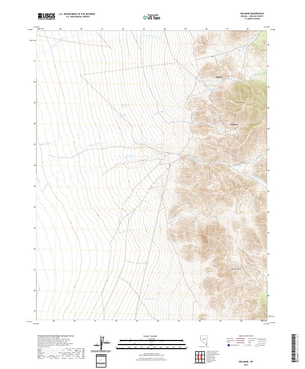
2021 Map of Delamar
USGS Topo · Published 2021About this map
Delamar and Helene sit on the western slopes of the Delamar Mountains, marking a landscape defined by its mining history and scarce water sources. This 2021 update reveals the intricate network of desert drainages, including Monkey Wrench Wash, Helene Wash, and Cedar Wash, which carve through the high-elevation terrain. The presence of isolated water points like Blythe Spring, Old Indian Spring, and New Indian Spring underscores the critical importance of these features for both historical settlement and contemporary land use in this arid region.
Find a feature on this map
24 named features on this map. Tap any name to fly to it.
Don’t see what you’re looking for? This feature index may not catch every label — zoom into the map to look around manually.
Map Details
Editions of this 2021 Delamar Map
This is the sole edition of this map. No revisions or reprints were ever made.
Other maps of this area

1885 · Pioche
USGS Topo · 1:250,000

1886 · Pioche
USGS Topo · 1:250,000

1954 · Caliente
USGS Topo · 1:250,000

1959 · Caliente
USGS Topo · 1:250,000

1969 · Delamar
USGS Topo · 1:24,000

1969 · Gregerson Basin
USGS Topo · 1:24,000

1969 · Slidy Mountain
USGS Topo · 1:24,000

1969 · Delamar NW
USGS Topo · 1:24,000
1969 · Delamar Lake
USGS Topo · 1:24,000

1969 · Elgin SW
USGS Topo · 1:24,000