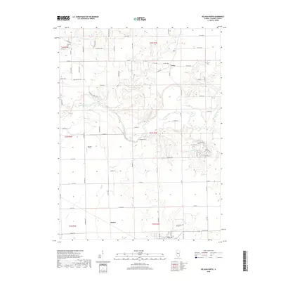
2018 Map of Delavan North
USGS Topo · Published 2018About this map
The Mackinaw River winds through the heart of this Tazewell County landscape, carving a distinct valley flanked by features like Cedar Bluff Rd. This 2018 survey reveals a rural character defined by small settlements and family-named infrastructure. The village of Dillon and the northern reaches of Delavan serve as primary hubs, while the map preserves the location of scattered homesteads and local landmarks such as Holmes and the Lutz RLA Airport.
Find a feature on this map
74 named features on this map. Tap any name to fly to it.
Don’t see what you’re looking for? This feature index may not catch every label — zoom into the map to look around manually.
Map Details
Editions of this 2018 Delavan North Map
This is the sole edition of this map. No revisions or reprints were ever made.
Other maps of this area
1905 · Peoria
USGS Topo · 1:62,500
1927 · Peoria
USGS Topo · 1:62,500
1928 · Mackinaw
USGS Topo · 1:62,500
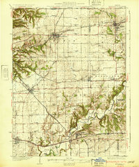
1932 · Mackinaw
USGS Topo · 1:62,500
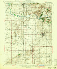
1942 · Delavan
USGS Topo · 1:62,500
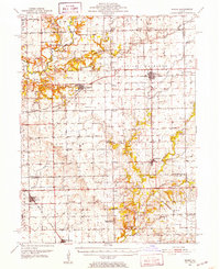
1951 · Minier
USGS Topo · 1:62,500

1958 · Peoria
USGS Topo · 1:250,000
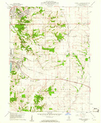
1960 · Marquette Heights
USGS Topo · 1:24,000
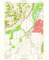
1960 · Pekin
USGS Topo · 1:24,000

1961 · Peoria
USGS Topo · 1:250,000