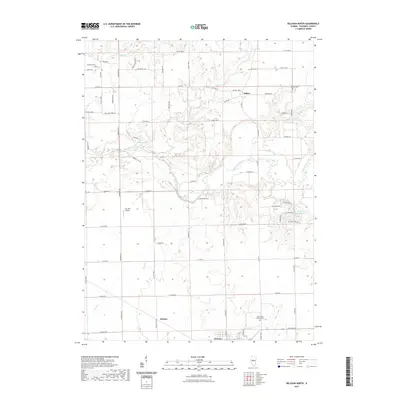
2021 Map of Delavan North
USGS Topo · Published 2021About this map
The Mackinaw River winds through this Central Illinois landscape, defining the topography north of Delavan. The river's meandering course is flanked by unique water features such as Venado Grande Lake and several smaller tributaries including Dillon Cr and Lost Cr. This area is characterized by its organized rural road network and scattered historic sites, including the settlement of Dillon and the Holmes locality. Genealogists will find significant value in the documentation of several local burial grounds, such as Saint Marys Catholic Cem, Woodrow Cem, and Antioch Cem. The presence of the Lutz RLA Airport and a grid of county roads like Towerline Rd and Morris Mill Rd illustrate the modern agricultural and transportation layout of Tazewell County, while the varied terrain is noted by landmarks like Cedar Bluff Rd.
Find a feature on this map
65 named features on this map. Tap any name to fly to it.
Don’t see what you’re looking for? This feature index may not catch every label — zoom into the map to look around manually.
Map Details
Editions of this 2021 Delavan North Map
This is the sole edition of this map. No revisions or reprints were ever made.
Other maps of this area

1905 · Peoria
USGS Topo · 1:62,500

1927 · Peoria
USGS Topo · 1:62,500

1928 · Mackinaw
USGS Topo · 1:62,500

1932 · Mackinaw
USGS Topo · 1:62,500

1942 · Delavan
USGS Topo · 1:62,500

1951 · Minier
USGS Topo · 1:62,500

1958 · Peoria
USGS Topo · 1:250,000

1960 · Marquette Heights
USGS Topo · 1:24,000

1960 · Pekin
USGS Topo · 1:24,000

1961 · Peoria
USGS Topo · 1:250,000