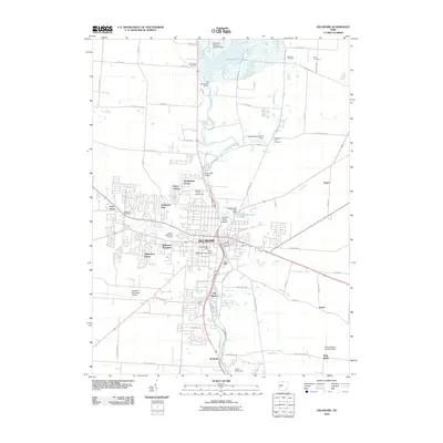
2010 Map of Delaware
USGS Topo · Published 2010About this map
The Olentangy River defines the central corridor of this landscape, moving through the heart of Delaware and past the historic campus of Ohio Wesleyan University. The river's path is marked by substantial infrastructure, including the Delaware Dam which forms the expansive Delaware Lake to the north, and the Stone Mill Bridge further downstream. The transition from the dense urban grid of the city to suburban developments like Shelbourne Forest and Lexington Glen illustrates the mid-century and later expansion of the area.
Find a feature on this map
83 named features on this map. Tap any name to fly to it.
Don’t see what you’re looking for? This feature index may not catch every label — zoom into the map to look around manually.
Map Details
Editions of this 2010 Delaware Map
This is the sole edition of this map. No revisions or reprints were ever made.
Other maps of this area

1901 · Dublin
USGS Topo · 1:62,500

1902 · Westerville
USGS Topo · 1:62,500

1903 · Dublin
USGS Topo · 1:62,500

1904 · Westerville
USGS Topo · 1:62,500

1915 · Marengo
USGS Topo · 1:62,500

1924 · Delaware
USGS Topo · 1:62,500

1925 · Delaware
USGS Topo · 1:62,500

1943 · Marengo
USGS Topo · 1:62,500

1944 · Delaware
USGS Topo · 1:62,500

1950 · Marion
USGS Topo · 1:250,000