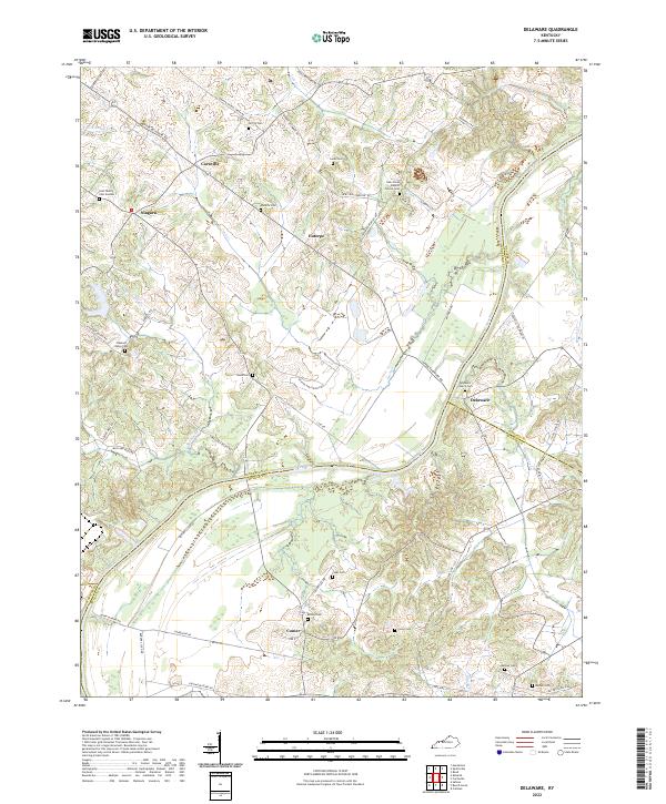
2022 Map of Delaware
USGS Topo · Published 2022About this map
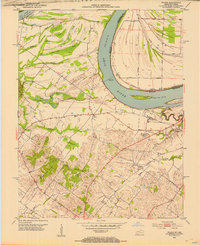
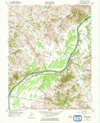
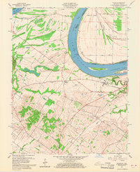
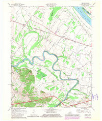
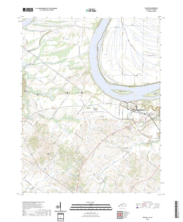
The Green River carves a winding path through this corner of Western Kentucky, forming the natural border between Henderson, Daviess, McLean, and Webster counties. Small agricultural settlements like Delaware, Niagara, and Coraville are connected by a network of winding roads such as Upper Delaware Rd and S Pleasant Valley Rd. The landscape is punctuated by numerous family and community burial grounds, including the Gish Family Cem Number 1 and Watkins Cem, which provide significant genealogical data for the region. Several creeks, including Cash Cr and Sputzman Cr, drain into the river valley, shaping the topography of the local farms. Further south, the community of Comer sits near the Boston Cem, illustrating the dispersed nature of these rural hamlets. This survey preserves the placement of local landmarks like the Cash Creek Baptist Church Cem before the continued modernization of the rural road network.
Find a feature on this map
60 named features on this map. Tap any name to fly to it.
Don’t see what you’re looking for? This feature index may not catch every label — zoom into the map to look around manually.
Map Details
Editions of this 2022 Delaware Map
This is the sole edition of this map. No revisions or reprints were ever made.
Historical Maps of Rangers Landing Through Time
13 maps found
1905 Newburg
Henderson County, KY
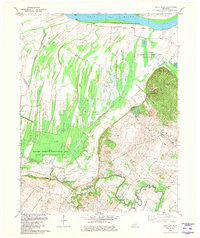
1952 Reed
Henderson County, KY
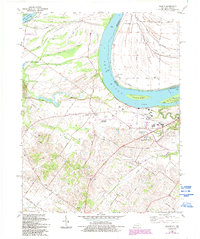
1952 Smith Mills
Henderson County, KY
1952 Wilson
Henderson County, KY
1953 Delaware
Henderson County, KY
1959 Wilson
Henderson County, KY
1971 Reed
Henderson County, KY
1981 Smith Mills
Henderson County, KY
1981 Wilson
Henderson County, KY
2022 Delaware
Henderson County, KY
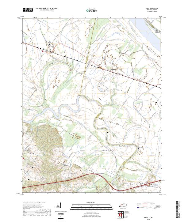
2022 Reed
Henderson County, KY
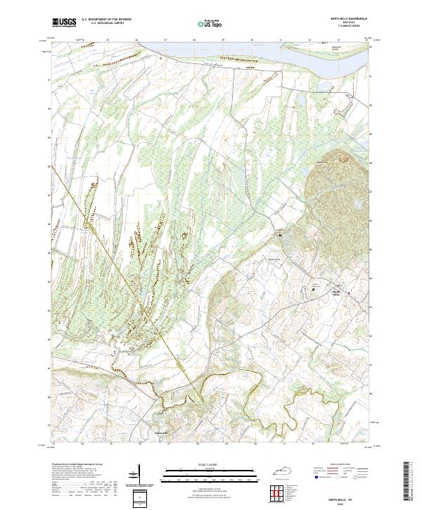
2022 Smith Mills
Henderson County, KY
2022 Wilson
Henderson County, KY