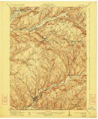
1911 Map of Delhi
USGS Topo · Published 1923About this map
The Delhi village center serves as the focal point of this rural New York landscape, situated at the confluence of the West Branch Delaware River and Little Delaware River. This early 20th-century survey highlights a region defined by its narrow valleys and the vital transportation corridors that connected these dairy-farming communities. Two primary rail lines navigate the terrain: the Ulster and Delaware RR winding through Bloomville and Kortright Sta, and the New York Ontario and Western RR approaching from the south.
Find a feature on this map
59 named features on this map. Tap any name to fly to it.
Don’t see what you’re looking for? This feature index may not catch every label — zoom into the map to look around manually.
Map Details
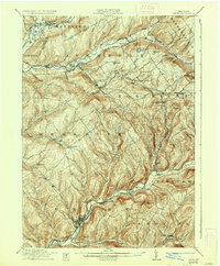
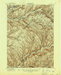
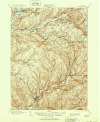
Editions of this 1911 Delhi Map
5 editions found
Other maps of this area

1901 · Margaretville
USGS Topo · 1:62,500

1904 · Richmondville
USGS Topo · 1:62,500

1904 · Hobart
USGS Topo · 1:62,500

1904 · Margaretville
USGS Topo · 1:62,500

1907 · Cooperstown
USGS Topo · 1:62,500

1909 · Cooperstown
USGS Topo · 1:62,500

1909 · Delhi
USGS Topo · 1:62,500

1910 · Hartwick
USGS Topo · 1:62,500

1911 · Delhi
USGS Topo · 1:62,500

1912 · Hartwick
USGS Topo · 1:62,500