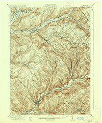
1911 Map of Delhi
USGS Topo · Published 1936About this map
The West Branch Delaware River carves through the Catskill foothills on this early twentieth-century survey, anchoring the village of Delhi. This regional hub sits at the junction of the New York Ontario and Western Ry and local stage routes, serving as a vital point for the surrounding dairy farming communities. Further north, the Ulster and Delaware RR follows the Charlotte Creek valley, connecting settlements like West Davenport and Davenport Center.
Find a feature on this map
56 named features on this map. Tap any name to fly to it.
Don’t see what you’re looking for? This feature index may not catch every label — zoom into the map to look around manually.
Map Details
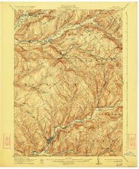
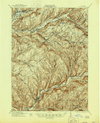
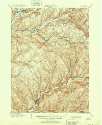
Editions of this 1911 Delhi Map
5 editions found
Other maps of this area

1901 · Margaretville
USGS Topo · 1:62,500

1904 · Richmondville
USGS Topo · 1:62,500

1904 · Hobart
USGS Topo · 1:62,500

1904 · Margaretville
USGS Topo · 1:62,500

1907 · Cooperstown
USGS Topo · 1:62,500

1909 · Cooperstown
USGS Topo · 1:62,500

1909 · Delhi
USGS Topo · 1:62,500

1910 · Hartwick
USGS Topo · 1:62,500

1911 · Delhi
USGS Topo · 1:62,500

1912 · Hartwick
USGS Topo · 1:62,500