2021 Map of Dell Rapids
USGS Topo · Published 2021About this map
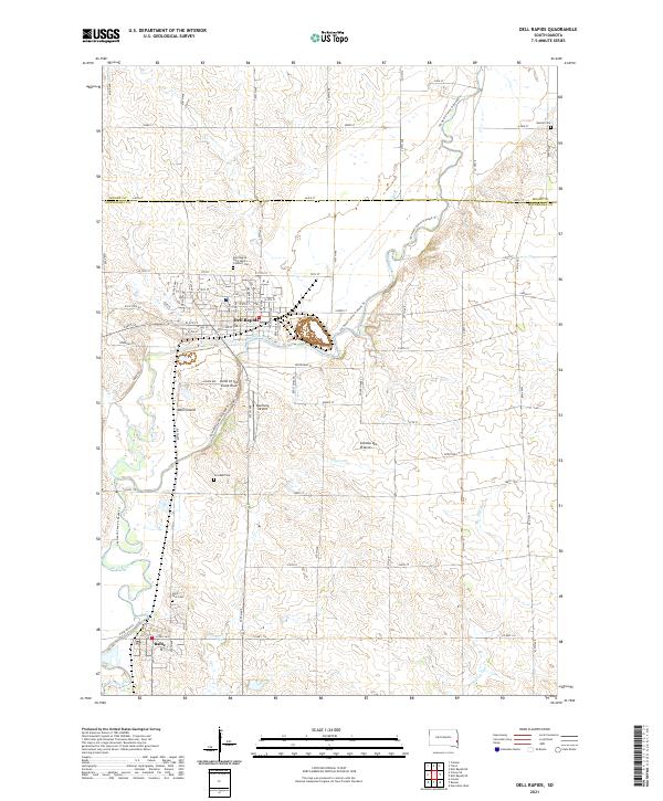
Dell Rapids serves as the focal point of this survey, situated where the Big Sioux River carves through the distinct quartzite formations of the Dells of the Sioux River. The river's path is central to the area's geography, winding past Dell Island and under the shadows of the Coteau des Prairies plateau. This landscape combines the residential growth of the town with the surrounding agricultural plots of Minnehaha and Moody counties, linked by a network of rural roads such as 244th ST and Co HWY 114.
Find a feature on this map
44 named features on this map. Tap any name to fly to it.
Don’t see what you’re looking for? This feature index may not catch every label — zoom into the map to look around manually.
Map Details
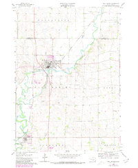
Editions of this 2021 Dell Rapids Map
This is the sole edition of this map. No revisions or reprints were ever made.
Historical Maps of Ward 1 Through Time
Featured Locations
- Blinsmon Township, SD
- Enterprise Township, SD
- Baltic, SD
- Dell Rapids, Dell Rapids Township
- Ward 1, Dell Rapids