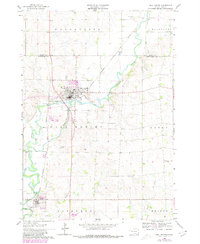
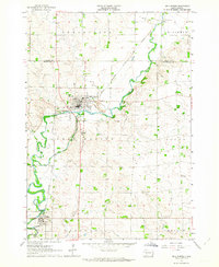
1962 Map of Dell Rapids
USGS Topo · Published 1980About this map
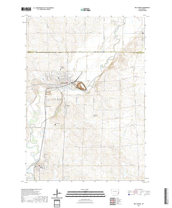
The Big Sioux River winds through the heart of this landscape, its path defining the development of the river-and-rail hub at Dell Rapids. At the time of this survey, the area was a key intersection of transportation and industry, with the Chicago Milwaukee St Paul and Pacific railroad threading through the river valley to serve local quarrying operations and agricultural centers like Baltic. The map reveals a deeply established rural social fabric, marked by a high density of country burial grounds and community institutions such as Stordahl Cem, St Olaf Cem, and the Sioux Valley Ch. To the east, the rural landscape transitions into townships like Logan and Edison, where isolated landmarks like Carothers Sch No 36 served the surrounding farmsteads. This document preserves the late twentieth-century footprint of Minnehaha County before modern expansion altered the character of these historic river towns.
Find a feature on this map
30 named features on this map. Tap any name to fly to it.
Don’t see what you’re looking for? This feature index may not catch every label — zoom into the map to look around manually.
Map Details
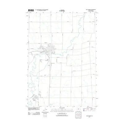
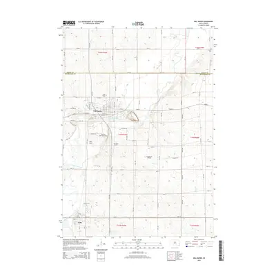
Editions of this 1962 Dell Rapids Map
2 editions found
Historical Maps of Dell Rapids Through Time
5 maps found
Featured Locations
- Blinsmon Township, SD
- Baltic, SD
- Baltic Corner, Sverdup Township
- Dell Rapids, Dell Rapids Township
- Ward 2, Dell Rapids