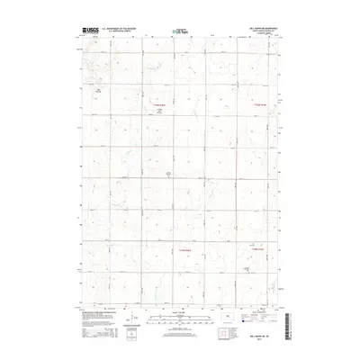
2015 Map of Dell Rapids NE
USGS Topo · Published 2015About this map
Coteau des Prairies defines the rolling upland character of this section of Moody County, where the high plains landscape is segmented by a precise grid of rural section roads. The area is defined by its agricultural heritage and small community centers, marked by several distinct burial grounds that speak to the Scandinavian settlement of the region. Bethania Lutheran Cem and Swedish Augustana Cem serve as important genealogical landmarks for local families, while the Oslo Cem further reinforces the northern European immigrant history of the South Dakota prairie. Waterways like Brookfield Cr and W Pipestone Cr weave through the township sections, creating the drainage patterns that shaped early homesteading. The inclusion of Egan Mounds adds a layer of prehistoric significance to a map otherwise dominated by the late 20th-century road network and section lines.
Find a feature on this map
27 named features on this map. Tap any name to fly to it.
Don’t see what you’re looking for? This feature index may not catch every label — zoom into the map to look around manually.
Map Details
Editions of this 2015 Dell Rapids NE Map
This is the sole edition of this map. No revisions or reprints were ever made.
Other maps of this area

1953 · Watertown
USGS Topo · 1:250,000

1955 · Sioux Falls
USGS Topo · 1:250,000

1958 · Sioux Falls
USGS Topo · 1:250,000

1958 · Watertown
USGS Topo · 1:250,000

1962 · Dell Rapids
USGS Topo · 1:24,000

1963 · Trent
USGS Topo · 1:24,000

1964 · Flandreau SW
USGS Topo · 1:24,000

1967 · Elkton SW
USGS Topo · 1:24,000

1967 · Jasper
USGS Topo · 1:24,000

1967 · Jasper NW
USGS Topo · 1:24,000
Featured Places
- Grovena Township, SD
- Blinsmon Township, SD
- Alliance Township, SD
- Lone Rock Township, SD
- Moody County, SD