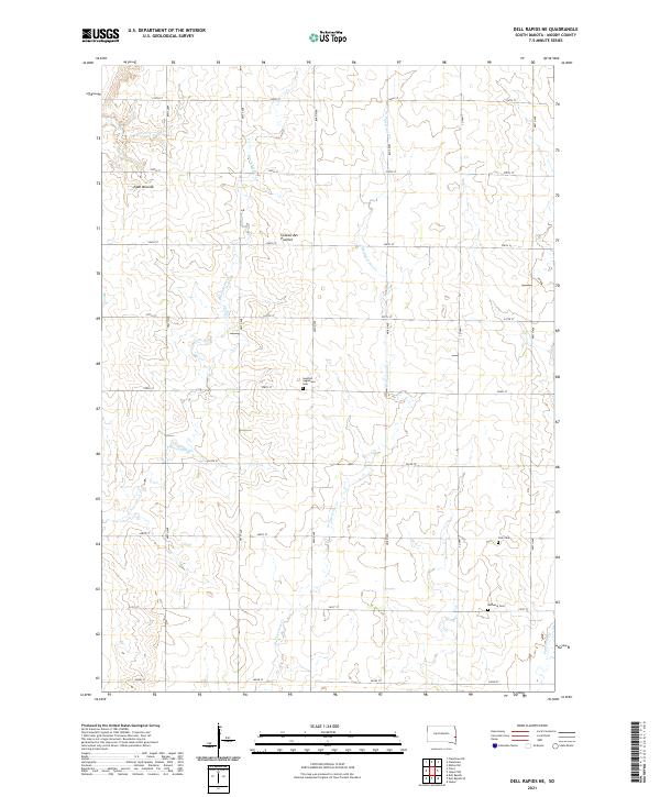
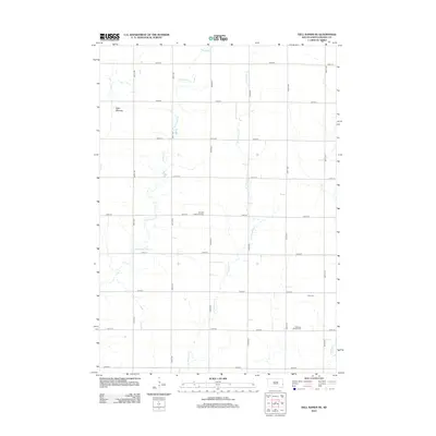
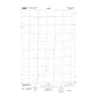
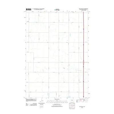
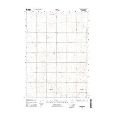
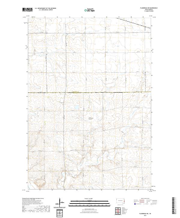
2021 Map of Dell Rapids NE
USGS Topo · Published 2021About this map
Coteau des Prairies, a vast highland plateau, defines the topography of this corner of Moody County. The landscape is marked by a precise grid of rural section roads, including Co Hwy 1 and numerous numbered avenues and streets that segment the agricultural plains. Waterways like Brookfield Cr and W Pipestone Cr wind through the sections, providing natural drainage for the high prairie land. For those researching local heritage, the map reveals several prominent burial grounds that anchor the rural community, such as Swedish Augustana Cem, Oslo Cem, and Bethania Cem. The presence of Egan Mounds in the northwestern corner suggests significant elevation changes and local landmarks within this predominantly farming landscape at the time of the 2021 survey.
Find a feature on this map
27 named features on this map. Tap any name to fly to it.
Don’t see what you’re looking for? This feature index may not catch every label — zoom into the map to look around manually.
Map Details
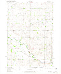
Editions of this 2021 Dell Rapids NE Map
This is the sole edition of this map. No revisions or reprints were ever made.
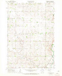
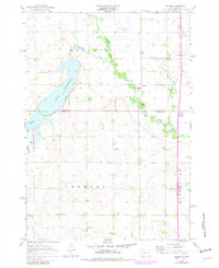
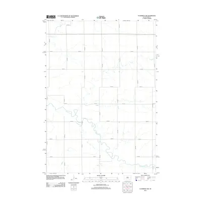
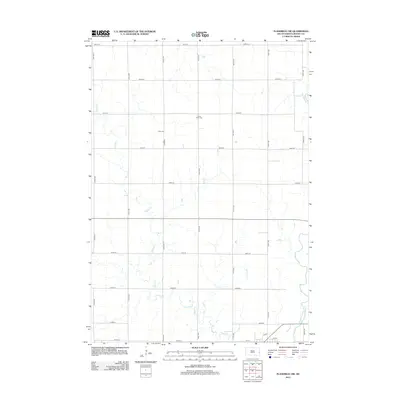
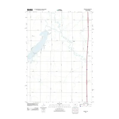
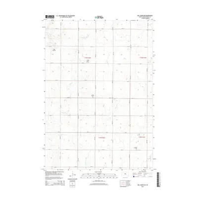
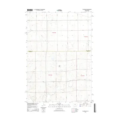
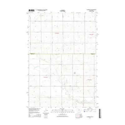
Historical Maps of Blinsmon Township Through Time
30 maps found
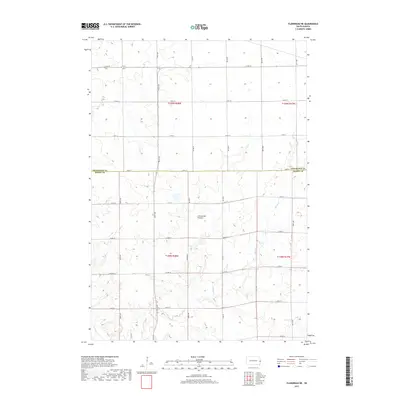
1964 Flandreau NW
Moody County, SD
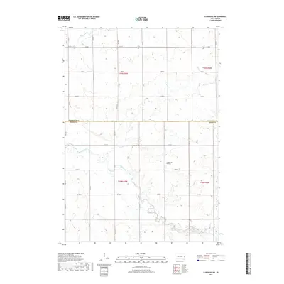
1964 Flandreau SW
Moody County, SD
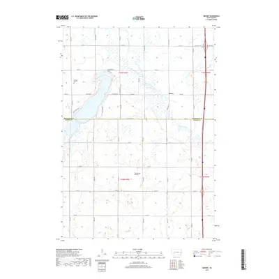
1964 Medary
Moody County, SD
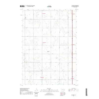
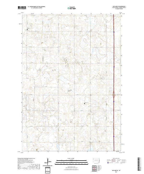
1964 Rutland SE
Moody County, SD
1972 Dell Rapids NE
Moody County, SD
1972 Flandreau NE
Moody County, SD
2012 Dell Rapids NE
Moody County, SD
2012 Flandreau NE
Moody County, SD
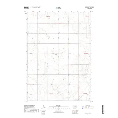
2012 Flandreau NW
Moody County, SD
2012 Flandreau SW
Moody County, SD
2012 Medary
Moody County, SD
2012 Rutland SE
Moody County, SD
2015 Dell Rapids NE
Moody County, SD
2015 Flandreau NE
Moody County, SD
2015 Flandreau NW
Moody County, SD
2015 Flandreau SW
Moody County, SD
2015 Medary
Moody County, SD
2015 Rutland SE
Moody County, SD
2017 Dell Rapids NE
Moody County, SD
2017 Flandreau NE
Moody County, SD
2017 Flandreau NW
Moody County, SD
2017 Flandreau SW
Moody County, SD
2017 Medary
Moody County, SD
2017 Rutland SE
Moody County, SD
2021 Dell Rapids NE
Moody County, SD
2021 Flandreau NE
Moody County, SD
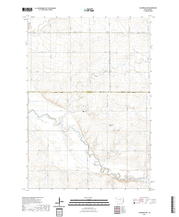
2021 Flandreau NW
Moody County, SD

2021 Flandreau SW
Moody County, SD
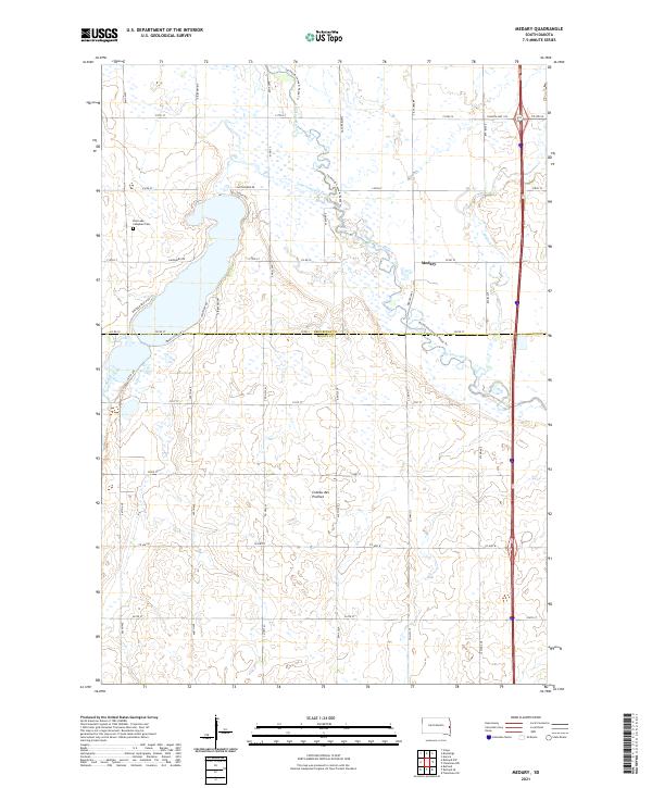
2021 Medary
Moody County, SD
2021 Rutland SE
Moody County, SD
Featured Locations
- Moody County, SD
- Alliance Township, SD
- Blinsmon Township, SD
- Grovena Township, SD
- Lone Rock Township, SD