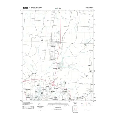
2011 Map of Delmar
USGS Topo · Published 2011About this map
Delmar straddles the Maryland-Delaware state line, serving as a focal point for a landscape defined by its aviation and motorsport infrastructure. The area features a concentration of specialized facilities, including the Delmar State Line Airport, the Delaware International Raceway, and the US 13 Dragway, which sit just north of the border. This 2011 survey reveals an intricate network of residential subdivisions and estates that have grown around the agricultural and natural corridors of the Delmarva Peninsula, such as Greenwood Manor, Stellas Venture, and Santa Fe Acres.
Find a feature on this map
173 named features on this map. Tap any name to fly to it.
Don’t see what you’re looking for? This feature index may not catch every label — zoom into the map to look around manually.
Map Details
Editions of this 2011 Delmar Map
This is the sole edition of this map. No revisions or reprints were ever made.
Other maps of this area

1901 · Salisbury
USGS Topo · 1:62,500

1902 · Pittsville
USGS Topo · 1:62,500

1915 · Seaford
USGS Topo · 1:62,500

1917 · Millsboro
USGS Topo · 1:62,500

1938 · Millsboro
USGS Topo · 1:62,500

1942 · Eden
USGS Topo · 1:24,000

1942 · Wango
USGS Topo · 1:24,000

1942 · Hebron
USGS Topo · 1:24,000

1942 · Salisbury
USGS Topo · 1:24,000

1942 · Delmar
USGS Topo · 1:24,000