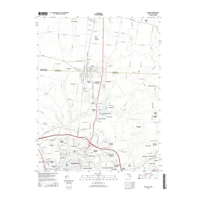
2014 Map of Delmar
USGS Topo · Published 2014About this map
Delmar straddles the state line between Maryland and Delaware, serving as a focal point for this section of the Eastern Shore. The town's layout is defined by the Delaware Coast Line RR running north-south through the center, surrounded by historic sites like Saint Stephens Cem and Oliphant Cem. To the south, the landscape transitions into the residential developments of Salisbury, including Poets Colony and Hudson Heights, clustered around the headwaters of the North Prong Wicomico River. The area maintains its agricultural and aviation roots with the presence of Ennis Aerodrome and Bennett Airport. Water features such as Leonard Pond and numerous branches like Vena Gains Br and Tussocky Br illustrate the low-lying drainage patterns of the Delmarva Peninsula during the early 21st century.
Find a feature on this map
100 named features on this map. Tap any name to fly to it.
Don’t see what you’re looking for? This feature index may not catch every label — zoom into the map to look around manually.
Map Details
Editions of this 2014 Delmar Map
This is the sole edition of this map. No revisions or reprints were ever made.
Other maps of this area

1901 · Salisbury
USGS Topo · 1:62,500

1902 · Pittsville
USGS Topo · 1:62,500

1915 · Seaford
USGS Topo · 1:62,500

1917 · Millsboro
USGS Topo · 1:62,500

1938 · Millsboro
USGS Topo · 1:62,500

1942 · Eden
USGS Topo · 1:24,000

1942 · Wango
USGS Topo · 1:24,000

1942 · Hebron
USGS Topo · 1:24,000

1942 · Salisbury
USGS Topo · 1:24,000

1942 · Delmar
USGS Topo · 1:24,000