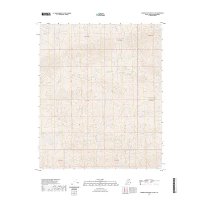
2023 Map of Demarcation Point B-4 NW
USGS Topo · Published 2023About this map
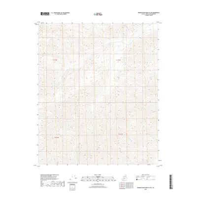
Okerokovik River winds through this northern Alaskan landscape, providing a primary drainage route for the surrounding slopes. The terrain is defined by significant federal land designations, including the Mollie Beattie Wilderness and the broader Arctic National Wildlife Refuge. These protected areas preserve a vast expanse of undeveloped territory, where the Public Land Survey System grid lines across townships like t2n r36e and t1n r37e serve as the only formal human markers on the land. The mapping focuses on the natural topography and the river's path through this remote portion of the North Slope, illustrating the preserved state of the wilderness in the early 21st century.
Find a feature on this map
9 named features on this map. Tap any name to fly to it.
Don’t see what you’re looking for? This feature index may not catch every label — zoom into the map to look around manually.
Map Details
Editions of this 2023 Demarcation Point B-4 NW Map
This is the sole edition of this map. No revisions or reprints were ever made.
Other maps of this area

1951 · Demarcation Point
USGS Topo · 1:250,000

1955 · Demarcation Point
USGS Topo · 1:250,000

1955 · Demarcation Point C-5
USGS Topo · 1:63,360

1955 · Demarcation Point C-4
USGS Topo · 1:63,360
1956 · Demarcation Point B-4
USGS Topo · 1:63,360

1956 · Demarcation Point B-5
USGS Topo · 1:63,360

1964 · Demarcation Point
USGS Topo · 1:250,000
2018 · Demarcation Point B-5 SE
USGS Topo · 1:25,000
2018 · Demarcation Point C-4 SW
USGS Topo · 1:25,000
2018 · Demarcation Point B-4 SW
USGS Topo · 1:25,000