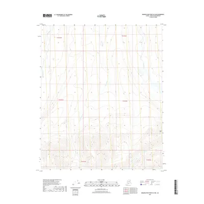
2018 Map of Demarcation Point B-5 NW
USGS Topo · Published 2018About this map
The Okpilak River and Jago River define the western and eastern reaches of this Arctic drainage landscape within the North Slope Borough. These glacial river systems flow northward through a complex of high-elevation terrain, where the prominent Marie Mtn rises in the southeastern corner. Between these larger rivers, smaller drainages like Okpirourak Cr and McCall Creek cut through the tundra, illustrating the intricate hydrological patterns of the Alaskan wilderness. This 2018 survey provides an detailed view of the natural topography and watercourses before they reach the Beaufort Sea, serving as a critical reference for understanding the remote geography of the Demarcation Point region.
Find a feature on this map
12 named features on this map. Tap any name to fly to it.
Don’t see what you’re looking for? This feature index may not catch every label — zoom into the map to look around manually.
Map Details
Editions of this 2018 Demarcation Point B-5 NW Map
This is the sole edition of this map. No revisions or reprints were ever made.
Other maps of this area

1951 · Demarcation Point
USGS Topo · 1:250,000

1951 · Mt. Michelson
USGS Topo · 1:250,000

1955 · Demarcation Point
USGS Topo · 1:250,000

1955 · Mount Michelson B-1
USGS Topo · 1:63,360

1955 · Mount Michelson C-1
USGS Topo · 1:63,360

1955 · Demarcation Point C-5
USGS Topo · 1:63,360

1956 · Mt. Michelson
USGS Topo · 1:250,000

1956 · Demarcation Point B-5
USGS Topo · 1:63,360

1964 · Demarcation Point
USGS Topo · 1:250,000
2018 · Demarcation Point B-5 SE
USGS Topo · 1:25,000