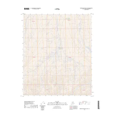
2023 Map of Demarcation Point B-5 NW
USGS Topo · Published 2023About this map
Arctic National Wildlife Refuge encompasses this entire northern landscape, a high-altitude wilderness where the Brooks Range begins its descent toward the Beaufort Sea. The terrain is defined by dramatic elevation changes, culminating at the summit of Marie Mtn. This remote corner of the Mollie Beattie Wilderness is carved by glacial drainage systems, with the Okpilak River and Jago River flowing northward through deep valleys. These watercourses are fed by high mountain tributaries like Okpirourak Creek and McCall Creek, illustrating the raw hydrological patterns of the Alaskan North Slope. The absence of roads or man-made structures highlights the protected nature of this environment, preserving the exact topographical character of the land as it has existed for millennia.
Find a feature on this map
13 named features on this map. Tap any name to fly to it.
Don’t see what you’re looking for? This feature index may not catch every label — zoom into the map to look around manually.
Map Details
Editions of this 2023 Demarcation Point B-5 NW Map
This is the sole edition of this map. No revisions or reprints were ever made.
Other maps of this area

1951 · Demarcation Point
USGS Topo · 1:250,000

1951 · Mt. Michelson
USGS Topo · 1:250,000

1955 · Demarcation Point
USGS Topo · 1:250,000

1955 · Mount Michelson B-1
USGS Topo · 1:63,360

1955 · Mount Michelson C-1
USGS Topo · 1:63,360

1955 · Demarcation Point C-5
USGS Topo · 1:63,360

1956 · Mt. Michelson
USGS Topo · 1:250,000

1956 · Demarcation Point B-5
USGS Topo · 1:63,360

1964 · Demarcation Point
USGS Topo · 1:250,000
2018 · Demarcation Point B-5 SE
USGS Topo · 1:25,000