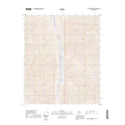
2023 Map of Demarcation Point B-5 SE
USGS Topo · Published 2023About this map
Romanzof Mountains dominate this high-latitude terrain within the Arctic National Wildlife Refuge, where steep peaks and glacial systems define the northeastern Brooks Range. The land is part of the Mollie Beattie Wilderness, one of the most protected and primitive landscapes in the United States. Glacial activity is evident along the southern reaches near the Contact Glacier, which feeds the north-flowing Jago River system. The map reveals a drainage pattern of sharp vertical relief and seasonal runoff, with Hubley Creek cutting through deep contours to join the Jago. This 2023 edition documents a landscape shaped by ice and elevation, preserved in its natural state without roads or permanent settlements.
Find a feature on this map
10 named features on this map. Tap any name to fly to it.
Don’t see what you’re looking for? This feature index may not catch every label — zoom into the map to look around manually.
Map Details
Editions of this 2023 Demarcation Point B-5 SE Map
This is the sole edition of this map. No revisions or reprints were ever made.
Other maps of this area

1951 · Demarcation Point
USGS Topo · 1:250,000

1955 · Demarcation Point
USGS Topo · 1:250,000
1956 · Demarcation Point B-4
USGS Topo · 1:63,360

1956 · Demarcation Point B-5
USGS Topo · 1:63,360

1964 · Demarcation Point
USGS Topo · 1:250,000
1983 · Demarcation Point A-5
USGS Topo · 1:63,360
1983 · Demarcation Point A-4
USGS Topo · 1:63,360
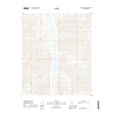
2018 · Demarcation Point B-5 SE
USGS Topo · 1:25,000
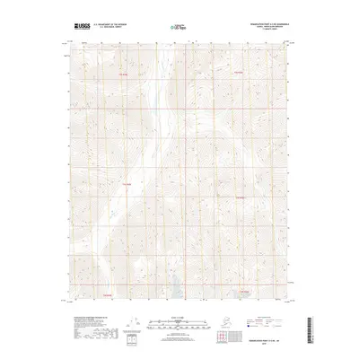
2018 · Demarcation Point A-5 NE
USGS Topo · 1:25,000
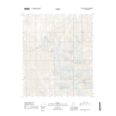
2018 · Demarcation Point B-5 SW
USGS Topo · 1:25,000