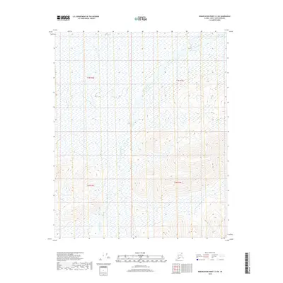
2018 Map of Demarcation Point C-3 SW
USGS Topo · Published 2018About this map
The Egaksrak River winds through this northern landscape, its braided channels and vast wetlands dominating the valley floor. This 2018 survey by the U.S. Geological Survey documents the intersection of several townships, including t3n r38e, t3n r39e, t2n r38e, and t2n r39e. The terrain transitions from low-lying marshland in the north to increasingly prominent ridgelines in the south, where high-resolution contour intervals reveal the intricate drainage patterns of the North Slope. Lacking roads or human settlements, the map provides an exacting look at a wilderness area where the natural hydrology of the river system remains the primary geographic feature.
Find a feature on this map
5 named features on this map. Tap any name to fly to it.
Don’t see what you’re looking for? This feature index may not catch every label — zoom into the map to look around manually.
Map Details
Editions of this 2018 Demarcation Point C-3 SW Map
This is the sole edition of this map. No revisions or reprints were ever made.
Other maps of this area

1951 · Demarcation Point
USGS Topo · 1:250,000

1955 · Demarcation Point
USGS Topo · 1:250,000

1955 · Demarcation Point C-4
USGS Topo · 1:63,360

1955 · Demarcation Point C-3
USGS Topo · 1:63,360
1956 · Demarcation Point B-4
USGS Topo · 1:63,360
1956 · Demarcation Point B-3
USGS Topo · 1:63,360

1964 · Demarcation Point
USGS Topo · 1:250,000
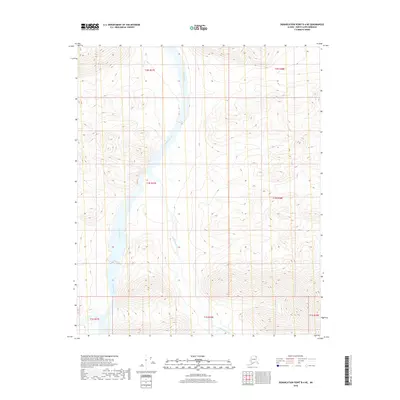
2018 · Demarcation Point B-4 NE
USGS Topo · 1:25,000
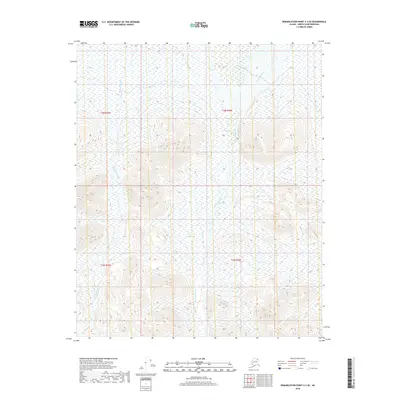
2018 · Demarcation Point C-3 SE
USGS Topo · 1:25,000
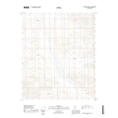
2018 · Demarcation Point B-3 NW
USGS Topo · 1:25,000