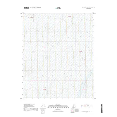
2018 Map of Demarcation Point C-4 NE
USGS Topo · Published 2018About this map
The Angun River and Aichilik River define this high-latitude drainage landscape in the North Slope Borough. This 2018 survey documents a remote coastal plain where braided river channels and seasonal wetlands dominate the terrain. Braided waters of the Kongakut River clip the northeastern corner of the sheet, illustrating the dynamic shifting of Arctic waterways. The map is primarily organized by the Public Land Survey System, showing township boundaries like t4n r37e and t5n r37e. With no roads or permanent settlements recorded, the map captures the wilderness character of the region as it existed in the early 21st century, serving as a baseline for environmental and hydrographic study.
Find a feature on this map
9 named features on this map. Tap any name to fly to it.
Don’t see what you’re looking for? This feature index may not catch every label — zoom into the map to look around manually.
Map Details
Editions of this 2018 Demarcation Point C-4 NE Map
This is the sole edition of this map. No revisions or reprints were ever made.
Other maps of this area

1951 · Demarcation Point
USGS Topo · 1:250,000

1955 · Demarcation Point
USGS Topo · 1:250,000

1955 · Demarcation Point D-3
USGS Topo · 1:63,360

1955 · Demarcation Point C-4
USGS Topo · 1:63,360

1955 · Demarcation Point D-4
USGS Topo · 1:63,360

1955 · Demarcation Point C-3
USGS Topo · 1:63,360

1962 · Demarcation Point D-3
USGS Topo · 1:50,000

1964 · Demarcation Point
USGS Topo · 1:250,000
2018 · Demarcation Point C-4 SW
USGS Topo · 1:25,000
2018 · Demarcation Point D-4 SW
USGS Topo · 1:25,000