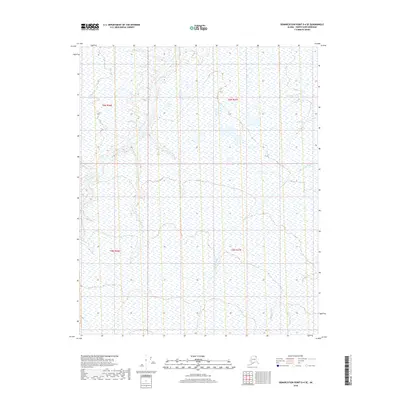
2018 Map of Demarcation Point D-4 SE
USGS Topo · Published 2018About this map
The Niguanak River and Sikrelurak River wind through this remote coastal plain of the North Slope, revealing a landscape defined by expansive wetlands and intricate hydrography. This 2018 survey by the U.S. Geological Survey documents the braided paths of the Angun River and its tributaries as they traverse the flat tundra towards the Beaufort Sea. The map's detail on surface water patterns and elevation contours offers a precise record of the seasonal drainage systems in this part of the Arctic National Wildlife Refuge. Without roads or permanent settlements, the terrain is structured only by its natural watercourses and the Public Land Survey System grid, including segments of t6n r36e and t5n r37e. This record is essential for understanding the shifting hydrology and environmental character of one of the most untouched regions in Alaska.
Find a feature on this map
7 named features on this map. Tap any name to fly to it.
Don’t see what you’re looking for? This feature index may not catch every label — zoom into the map to look around manually.
Map Details
Editions of this 2018 Demarcation Point D-4 SE Map
This is the sole edition of this map. No revisions or reprints were ever made.
Other maps of this area

1951 · Demarcation Point
USGS Topo · 1:250,000

1955 · Demarcation Point
USGS Topo · 1:250,000

1955 · Demarcation Point D-3
USGS Topo · 1:63,360

1955 · Demarcation Point C-4
USGS Topo · 1:63,360

1955 · Demarcation Point D-4
USGS Topo · 1:63,360

1955 · Demarcation Point C-3
USGS Topo · 1:63,360

1962 · Demarcation Point D-3
USGS Topo · 1:50,000

1964 · Demarcation Point
USGS Topo · 1:250,000
2018 · Demarcation Point D-4 NW
USGS Topo · 1:25,000
2018 · Demarcation Point D-4 SW
USGS Topo · 1:25,000