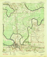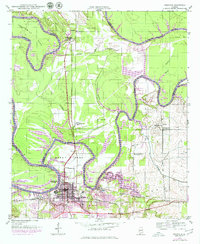
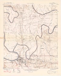
1946 Map of Demopolis
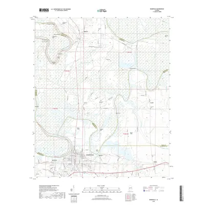
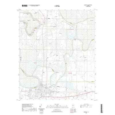
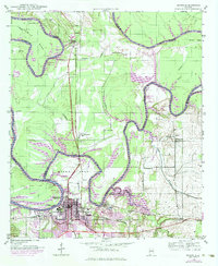
USGS Topo · Published 1979About this map
The confluence of the Tombigbee River and the Black Warrior River anchors this mid-century look at the region surrounding Demopolis. The map records a complex riverine landscape defined by sharp oxbows like Twelvemile Bend and Webbs Bend, alongside industrial and community landmarks. Evidence of the area's rural social infrastructure is prominent, including the Rosenwald Sch, Washington Sch, and New Green Oak Ch. The grid of Demopolis is visible in the south, where the St Louis San Francisco and Southern railroads converge near the Quarry at Spocari. This edition includes purple revisions from the late 1970s, illustrating the extent of Demopolis Lake and how the rising waters altered the traditional riverbank landings such as Hines Landing and Webbs Landing.
Find a feature on this map
46 named features on this map. Tap any name to fly to it.
Don’t see what you’re looking for? This feature index may not catch every label — zoom into the map to look around manually.
Map Details
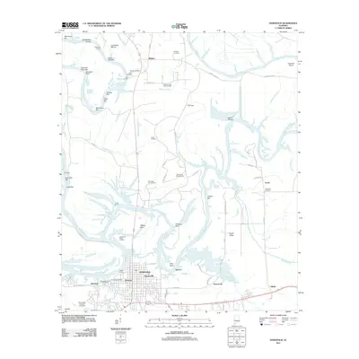
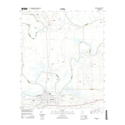
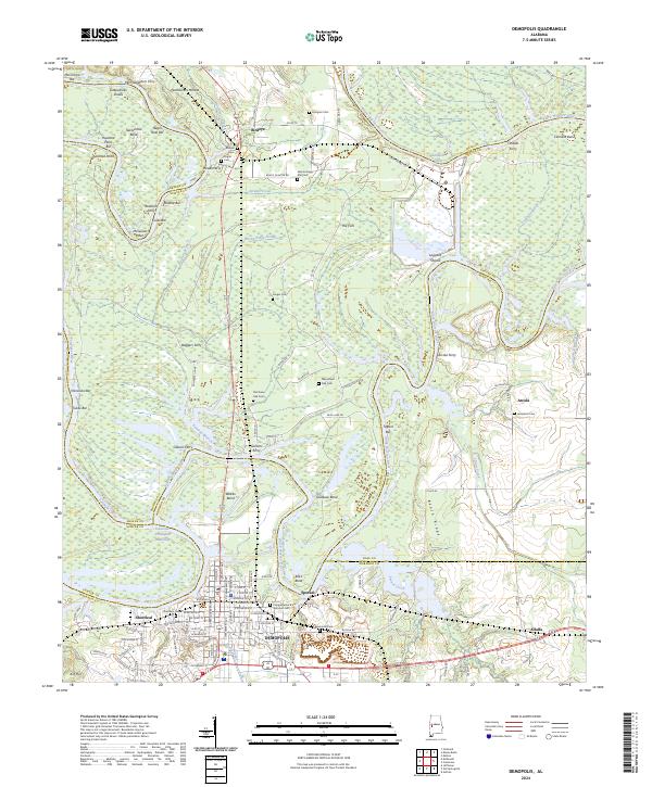
Editions of this 1946 Demopolis Map
3 editions found
Historical Maps of Demopolis Through Time
9 maps found