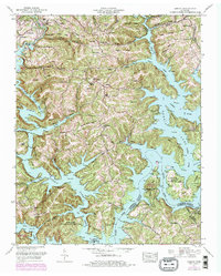
1952 Map of Demory
USGS Topo · Published 1975About this map
Norris Lake dominates the landscape of Campbell and Anderson counties, where the fingers of the reservoir reach into narrow valleys like Shoffner Hollow and Sweeten Spring Hollow. This survey captures the region decades after the Tennessee Valley Authority transformed the river valleys, showing the established recreational and residential developments such as the Heatherly Point Cabin Area and Shanghai Dock. Inland from the water, the terrain is defined by a series of prominent ridges, including Chestnut Stump Ridge and Turkey Ridge, which separate small upland communities like Demory and Grantsboro. Local history is preserved in the numerous family cemeteries and remote churches that dot the ridges, such as the Baker Forge Memorial Cemetery and Sugar Hollow Church. The map also highlights significant conservation and management tracts, including the Cove Creek Wildlife Management Area and parts of Norris Dam State Park, illustrating the post-dam landscape of East Tennessee.
Find a feature on this map
77 named features on this map. Tap any name to fly to it.
Don’t see what you’re looking for? This feature index may not catch every label — zoom into the map to look around manually.
Map Details
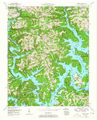
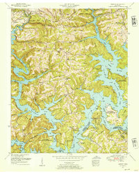
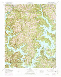
Editions of this 1952 Demory Map
4 editions found
Other maps of this area

1893 · Briceville
USGS Topo · 1:125,000

1895 · Briceville
USGS Topo · 1:125,000

1896 · Briceville
USGS Topo · 1:125,000

1897 · Maynardville
USGS Topo · 1:125,000

1900 · Maynardville
USGS Topo · 1:125,000

1935 · Well Spring
USGS Topo · 1:24,000

1936 · Gorryton
USGS Topo · 1:48,000

1936 · Ivydell
USGS Topo · 1:24,000

1936 · Jacksboro
USGS Topo · 1:24,000

1936 · White Hollow
USGS Topo · 1:24,000