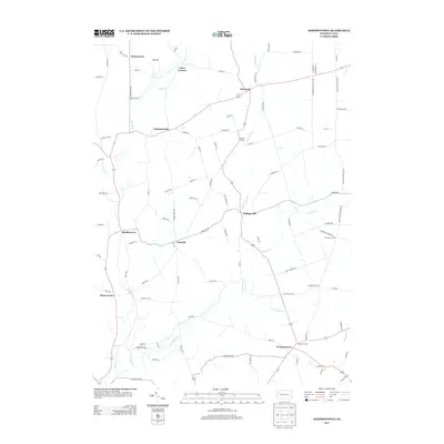
2013 Map of Dempseytown
USGS Topo · Published 2013About this map
Dempseytown anchors this portion of Cherrytree Township, sitting at a junction of rural routes where the landscape is defined by the branching tributaries of the Sugar Creek system. In this modern survey, the settlement pattern reveals a series of historic crossroads and small clusters such as Sunville, Wallaceville, and Bradleytown. The hydrology is particularly prominent, featuring the meandering paths of E Br Sugar Cr, Little Sugar Cr, and Prather Cr.
Find a feature on this map
97 named features on this map. Tap any name to fly to it.
Don’t see what you’re looking for? This feature index may not catch every label — zoom into the map to look around manually.
Map Details
Editions of this 2013 Dempseytown Map
This is the sole edition of this map. No revisions or reprints were ever made.
Other maps of this area

1909 · Franklin
USGS Topo · 1:62,500

1911 · Franklin
USGS Topo · 1:62,500
1922 · Oil City
USGS Topo · 1:48,000
1924 · Oil City
USGS Topo · 1:62,500
1927 · Townville
USGS Topo · 1:48,000
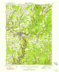
1927 · Titusville
USGS Topo · 1:62,500
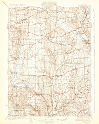
1932 · Townville
USGS Topo · 1:62,500
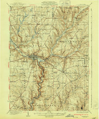
1933 · Titusville
USGS Topo · 1:62,500
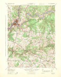
1943 · Oil City
USGS Topo · 1:62,500
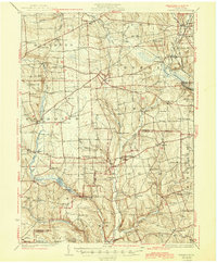
1945 · Townville
USGS Topo · 1:62,500
Featured Places
- Cherrytree Township, PA
- Randolph Township, PA
- Troy Township, PA
- Luces Corners, PA
- Dempseytown, Oakland Township