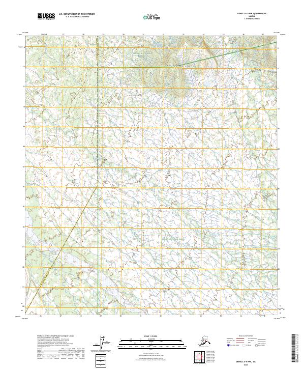
2023 Map of Denali A-5 NW
USGS Topo · Published 2023About this map
Denali National Preserve and Denali National Park meet in this remote interior landscape where the Yukon-Koyukuk Census Area and Denali Borough boundary line marks the western transition. The terrain is defined by a dense network of braided waterways and low-lying elevations, most notably the Cottonwood Hills in the northern reaches. The drainage pattern is complex, with the Fish River and Swift Fork cutting across the survey area alongside numerous smaller tributaries including Jack Frost Creek, Deep Creek, and Highpower Creek. The presence of Dry Creek and Boulder Creek underscores the seasonal nature of the water table in this subarctic environment. This 2023 survey provides a contemporary record of the shifting river beds and topographic contours of this protected wilderness.
Find a feature on this map
17 named features on this map. Tap any name to fly to it.
Don’t see what you’re looking for? This feature index may not catch every label — zoom into the map to look around manually.
Map Details
Editions of this 2023 Denali A-5 NW Map
This is the sole edition of this map. No revisions or reprints were ever made.
Other maps of this area

1952 · Mount McKinley
USGS Topo · 1:250,000

1952 · Mount McKinley A-5
USGS Topo · 1:63,360

1953 · Mount McKinley B-5
USGS Topo · 1:63,360

1954 · Mount McKinley B-5
USGS Topo · 1:63,360

1954 · Mount McKinley A-5
USGS Topo · 1:63,360

1958 · Mount McKinley B-6
USGS Topo · 1:63,360

1958 · Mount McKinley A-6
USGS Topo · 1:63,360

1958 · Mount McKinley
USGS Topo · 1:250,000

1969 · Mount McKinley
USGS Topo · 1:250,000
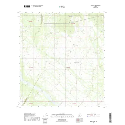
2017 · Denali A-5 NW
USGS Topo · 1:25,000