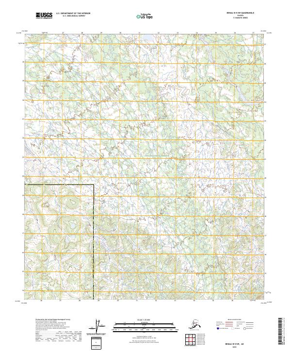
2023 Map of Denali B-5 SW
USGS Topo · Published 2023About this map
Denali National Preserve encompasses the majority of this interior landscape, where a dense network of glacial meltwater and tundra streams defines the local geography. The Herron River flows through the northeastern corner, joined by tributaries like Wolf Creek and Highpower Creek, which meander through complex wetland systems. This 2023 survey documents the modern hydrologic state of the region, specifically near the administrative boundary separating the Yukon-Koyukuk Census Area and Denali Borough.
Find a feature on this map
12 named features on this map. Tap any name to fly to it.
Don’t see what you’re looking for? This feature index may not catch every label — zoom into the map to look around manually.
Map Details
Editions of this 2023 Denali B-5 SW Map
This is the sole edition of this map. No revisions or reprints were ever made.
Other maps of this area

1952 · Mount McKinley
USGS Topo · 1:250,000

1952 · Mount McKinley A-5
USGS Topo · 1:63,360

1953 · Mount McKinley B-5
USGS Topo · 1:63,360

1954 · Mount McKinley B-5
USGS Topo · 1:63,360

1954 · Mount McKinley A-5
USGS Topo · 1:63,360

1958 · Mount McKinley B-6
USGS Topo · 1:63,360

1958 · Mount McKinley A-6
USGS Topo · 1:63,360

1958 · Mount McKinley
USGS Topo · 1:250,000

1969 · Mount McKinley
USGS Topo · 1:250,000
2017 · Denali A-5 NW
USGS Topo · 1:25,000