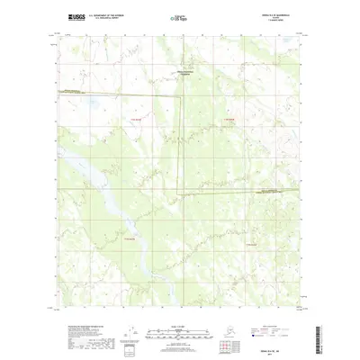
2017 Map of Denali B-6 SE
USGS Topo · Published 2017About this map
Denali National Preserve occupies much of this landscape, where the braided channels of the Swift Fork dominate the southwestern reaches. This 2017 survey illustrates the complex hydrology of the Alaskan interior, showing the confluence of glacial runoff and mountain streams within the Denali Borough Yukon-Koyukuk Census Area boundary. The Shisnona River and Fish River flow through the northern and eastern sectors, supported by numerous tributaries including Jack Frost Cr and Deep Cr.
Find a feature on this map
15 named features on this map. Tap any name to fly to it.
Don’t see what you’re looking for? This feature index may not catch every label — zoom into the map to look around manually.
Map Details
Editions of this 2017 Denali B-6 SE Map
This is the sole edition of this map. No revisions or reprints were ever made.
Other maps of this area

1952 · Mount McKinley
USGS Topo · 1:250,000

1952 · Mount McKinley A-5
USGS Topo · 1:63,360

1953 · Mount McKinley B-5
USGS Topo · 1:63,360

1954 · Mount McKinley B-5
USGS Topo · 1:63,360

1954 · Mount McKinley A-5
USGS Topo · 1:63,360

1958 · Mount McKinley B-6
USGS Topo · 1:63,360

1958 · Mount McKinley A-6
USGS Topo · 1:63,360

1958 · Mount McKinley
USGS Topo · 1:250,000

1969 · Mount McKinley
USGS Topo · 1:250,000
2017 · Denali A-5 NW
USGS Topo · 1:25,000