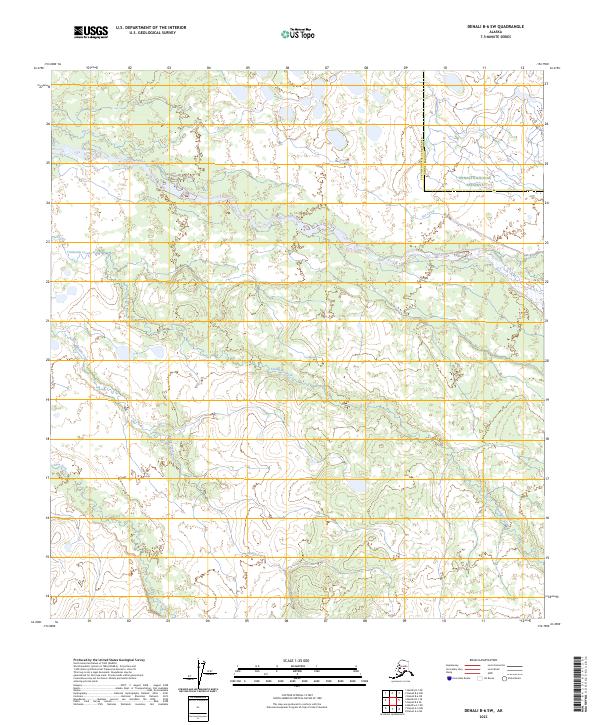
2023 Map of Denali B-6 SW
USGS Topo · Published 2023About this map
The Denali National Preserve encompasses the northeast corner of this territory, where the landscape is defined by the braided waterways and shifting drainages of the Alaskan interior. Several significant watercourses traverse the region, including the winding Swift Fork and the extensive Dry Creek, alongside Telidaside Creek and Middle Creek. The area is bisected by the administrative line between the Yukon-Koyukuk Census Area and the Denali Borough, marking a boundary in a region largely devoid of permanent human settlement. Surveyed recently, the map illustrates the complex hydrography of the Slow Fork and its tributaries, revealing the natural drainage patterns that dominate this remote portion of the Denali region.
Find a feature on this map
11 named features on this map. Tap any name to fly to it.
Don’t see what you’re looking for? This feature index may not catch every label — zoom into the map to look around manually.
Map Details
Editions of this 2023 Denali B-6 SW Map
This is the sole edition of this map. No revisions or reprints were ever made.
Other maps of this area

1950 · Medfra
USGS Topo · 1:250,000

1952 · Mount McKinley
USGS Topo · 1:250,000

1958 · Medfra A-1
USGS Topo · 1:63,360

1958 · Mount McKinley B-6
USGS Topo · 1:63,360

1958 · Mount McKinley A-6
USGS Topo · 1:63,360

1958 · Mount McKinley
USGS Topo · 1:250,000

1958 · Medfra B-1
USGS Topo · 1:63,360

1959 · Medfra
USGS Topo · 1:250,000

1969 · Mount McKinley
USGS Topo · 1:250,000
2017 · Denali B-6 SW
USGS Topo · 1:25,000