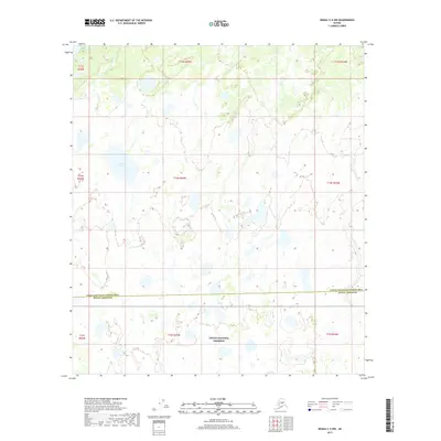
2017 Map of Denali C-5 NW
USGS Topo · Published 2017About this map
Denali National Preserve encompasses the southern portion of this landscape, where the interior Alaskan wilderness meets the jurisdictional boundary of the Yukon-Koyukuk Census Area Denali Borough. The terrain is defined by a dense network of hydrologic features, most notably Lake Snohomish in the north and the centrally located Doghouse Lake. These water bodies are connected by numerous unnamed tributaries and smaller ponds, while Deep Cr drains toward the northern margin. The lack of roads or established settlements emphasizes the remote, undeveloped character of this region during the early twenty-first century, serving as a baseline for the natural hydrology and drainage patterns within the Denali watershed.
Find a feature on this map
14 named features on this map. Tap any name to fly to it.
Don’t see what you’re looking for? This feature index may not catch every label — zoom into the map to look around manually.
Map Details
Editions of this 2017 Denali C-5 NW Map
This is the sole edition of this map. No revisions or reprints were ever made.
Other maps of this area

1952 · Mount McKinley
USGS Topo · 1:250,000

1953 · Mount McKinley C-5
USGS Topo · 1:63,360

1953 · Mount McKinley D-5
USGS Topo · 1:63,360

1954 · Mount McKinley D-5
USGS Topo · 1:63,360

1954 · Mount McKinley C-5
USGS Topo · 1:63,360

1958 · Mount McKinley D-6
USGS Topo · 1:63,360

1958 · Mount McKinley C-6
USGS Topo · 1:63,360

1958 · Mount McKinley
USGS Topo · 1:250,000

1969 · Mount McKinley
USGS Topo · 1:250,000
2017 · Denali D-5 SW
USGS Topo · 1:25,000