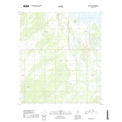
2017 Map of Denali D-5 SW
USGS Topo · Published 2017About this map
Lake Minchumina defines the northeastern corner of this interior Alaskan landscape, where its southern shore meets Giles Bay and the prominently placed Moose Island. This 2017 survey reveals an intricate wetland and hydraulic network characterized by the winding paths of Donchelok Cr, Deep Cr, and Old Woman Cr. The terrain rises toward the southwest into the Shisloiso Hills, providing a distinct topographic contrast to the low-lying lake basins and marshes that dominate the central and northern sections of the quadrangle.
Find a feature on this map
16 named features on this map. Tap any name to fly to it.
Don’t see what you’re looking for? This feature index may not catch every label — zoom into the map to look around manually.
Map Details
Editions of this 2017 Denali D-5 SW Map
This is the sole edition of this map. No revisions or reprints were ever made.
Other maps of this area

1952 · Mount McKinley
USGS Topo · 1:250,000

1953 · Mount McKinley C-5
USGS Topo · 1:63,360

1953 · Mount McKinley D-5
USGS Topo · 1:63,360

1954 · Mount McKinley D-5
USGS Topo · 1:63,360

1954 · Mount McKinley C-5
USGS Topo · 1:63,360

1958 · Mount McKinley D-6
USGS Topo · 1:63,360

1958 · Mount McKinley C-6
USGS Topo · 1:63,360

1958 · Mount McKinley
USGS Topo · 1:250,000

1969 · Mount McKinley
USGS Topo · 1:250,000
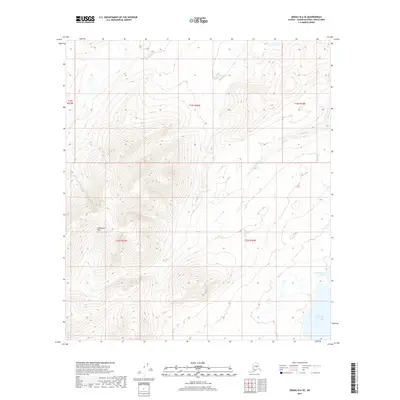
2017 · Denali D-6 SE
USGS Topo · 1:25,000