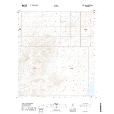
2017 Map of Denali D-6 SE
USGS Topo · Published 2017About this map
Snohomish Hills dominate the topography of this Alaskan landscape, where steep elevation changes are defined by the t13s r27w and t13s r26w township lines. To the east, the terrain levels out into a lake-dotted basin featuring Lake Snohomish and its northern counterpart, N Snohomish Lake. These water bodies are fed by a network of drainage systems including Fish Cr in the northwest and Parker Cr flowing toward the central valleys. This 2017 survey reveals a wilderness area largely devoid of developed infrastructure, illustrating the undisturbed character of the Yukon-Koyukuk region. The map provides a detailed study of natural drainage patterns and high-latitude landforms before the influence of modern road networks or permanent settlements reached this specific interior corridor.
Find a feature on this map
10 named features on this map. Tap any name to fly to it.
Don’t see what you’re looking for? This feature index may not catch every label — zoom into the map to look around manually.
Map Details
Editions of this 2017 Denali D-6 SE Map
This is the sole edition of this map. No revisions or reprints were ever made.
Other maps of this area

1952 · Mount McKinley
USGS Topo · 1:250,000

1953 · Mount McKinley C-5
USGS Topo · 1:63,360

1953 · Mount McKinley D-5
USGS Topo · 1:63,360

1954 · Mount McKinley D-5
USGS Topo · 1:63,360

1954 · Mount McKinley C-5
USGS Topo · 1:63,360

1958 · Mount McKinley D-6
USGS Topo · 1:63,360

1958 · Mount McKinley C-6
USGS Topo · 1:63,360

1958 · Mount McKinley
USGS Topo · 1:250,000

1969 · Mount McKinley
USGS Topo · 1:250,000
2017 · Denali D-5 SW
USGS Topo · 1:25,000