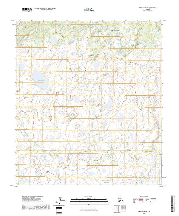
2023 Map of Denali C-5 NW
USGS Topo · Published 2023About this map
Denali National Preserve extends its northern boundaries into this sub-arctic wetland landscape, where the interior Alaskan wilderness is defined by a dense network of meandering drainages and isolated lakes. The terrain is characterized by the expansive waters of Lake Minchumina in the northeast and Doghouse Lake to the west, separated by a complex system of ponds and seasonal wetlands. The map documents a significant political boundary where the Denali Borough meets the Yukon-Koyukuk Census Area. Flowing through the northwest, Dien Creek navigates a low-lying basin that remains largely roadless and undeveloped, reflecting the preserved state of the region's hydrography and natural drainage patterns in the early twenty-first century.
Find a feature on this map
14 named features on this map. Tap any name to fly to it.
Don’t see what you’re looking for? This feature index may not catch every label — zoom into the map to look around manually.
Map Details
Editions of this 2023 Denali C-5 NW Map
This is the sole edition of this map. No revisions or reprints were ever made.
Other maps of this area

1952 · Mount McKinley
USGS Topo · 1:250,000

1953 · Mount McKinley C-5
USGS Topo · 1:63,360

1953 · Mount McKinley D-5
USGS Topo · 1:63,360

1954 · Mount McKinley D-5
USGS Topo · 1:63,360

1954 · Mount McKinley C-5
USGS Topo · 1:63,360

1958 · Mount McKinley D-6
USGS Topo · 1:63,360

1958 · Mount McKinley C-6
USGS Topo · 1:63,360

1958 · Mount McKinley
USGS Topo · 1:250,000

1969 · Mount McKinley
USGS Topo · 1:250,000
2017 · Denali D-5 SW
USGS Topo · 1:25,000