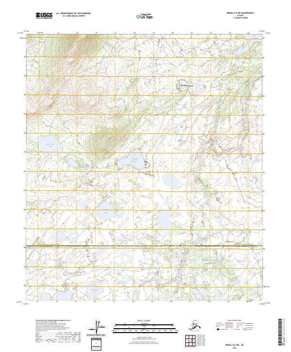
2023 Map of Denali C-6 NE
USGS Topo · Published 2023About this map
Lake Minchumina anchors this interior landscape where the Yukon-Koyukuk Census Area and Denali Borough boundary line divides the terrain. The map documents an expansive network of wetlands and namesake water bodies, from the northern Lake Snohomish to the southern Yoder Lake. A portion of the Denali National Preserve is visible in the southeast, where the landscape transitions into a complex of smaller ponds such as Beaver Lake. The drainage patterns are defined by slow-moving watercourses like Deep Creek, which winds between elevated landforms and large basin features like Thirtyeight Mile Lake and Fish Creek Lake. This modern survey provides a clear look at the hydrologic character of the region, illustrating the varied sizes and distributions of the lakes that dominate the local topography.
Find a feature on this map
16 named features on this map. Tap any name to fly to it.
Don’t see what you’re looking for? This feature index may not catch every label — zoom into the map to look around manually.
Map Details
Editions of this 2023 Denali C-6 NE Map
This is the sole edition of this map. No revisions or reprints were ever made.
Other maps of this area

1952 · Mount McKinley
USGS Topo · 1:250,000

1953 · Mount McKinley C-5
USGS Topo · 1:63,360

1953 · Mount McKinley D-5
USGS Topo · 1:63,360

1954 · Mount McKinley D-5
USGS Topo · 1:63,360

1954 · Mount McKinley C-5
USGS Topo · 1:63,360

1958 · Mount McKinley D-6
USGS Topo · 1:63,360

1958 · Mount McKinley C-6
USGS Topo · 1:63,360

1958 · Mount McKinley
USGS Topo · 1:250,000

1969 · Mount McKinley
USGS Topo · 1:250,000
2017 · Denali D-5 SW
USGS Topo · 1:25,000