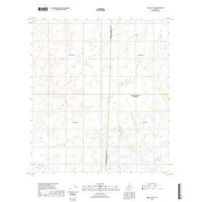
2017 Map of Denali C-6 SW
USGS Topo · Published 2017About this map
Denali National Preserve encompasses a significant portion of this interior landscape, marking a transition between administrative jurisdictions in the Alaskan wilderness. The boundary between the Denali Borough and the Yukon-Koyukuk Census Area runs vertically through the center of the map, highlighting the remote nature of this region where formal governance meets vast stretches of undeveloped land. The terrain is defined by a complex network of wetlands and small water bodies, with Lonestar Cr providing the primary named drainage as it meanders through the eastern section. This survey documents the intersection of public land survey systems, including t15s r28w and t16s r27w, which divide the preserve into manageable tracts for federal and local oversight. The absence of roads or established settlements emphasizes the character of the preserve as a protected wilderness area.
Find a feature on this map
7 named features on this map. Tap any name to fly to it.
Don’t see what you’re looking for? This feature index may not catch every label — zoom into the map to look around manually.
Map Details
Editions of this 2017 Denali C-6 SW Map
This is the sole edition of this map. No revisions or reprints were ever made.
Other maps of this area

1950 · Medfra
USGS Topo · 1:250,000

1952 · Mount McKinley
USGS Topo · 1:250,000

1958 · Medfra C-1
USGS Topo · 1:63,360

1958 · Mount McKinley B-6
USGS Topo · 1:63,360

1958 · Mount McKinley C-6
USGS Topo · 1:63,360

1958 · Mount McKinley
USGS Topo · 1:250,000

1958 · Medfra B-1
USGS Topo · 1:63,360

1959 · Medfra
USGS Topo · 1:250,000

1969 · Mount McKinley
USGS Topo · 1:250,000
2017 · Denali C-6 NE
USGS Topo · 1:25,000