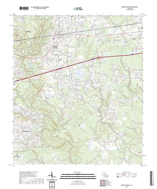
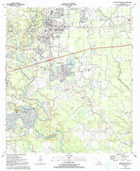
2024 Map of Denham Springs
USGS Topo · Published 2024About this map
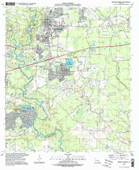
Denham Springs and the surrounding Livingston Parish landscape are defined by a complex network of waterways, including the winding Amite River and several significant bayous and creeks. This 2024 survey documents the dense suburban development east of Baton Rouge, with the residential clusters of Shenandoah and Central flanking the parish line. The map serves as a contemporary record of local transit and geography, marking historical crossing points like Benton's Ferry and Harrells Ferry alongside modern corridors like Florida Blvd. Genealogy researchers will find several local burial grounds noted, including Evergreen Memorial Park and the Hebron Cem. The drainage patterns are clearly delineated, showing how Grays Creek and Millers Canal navigate the low-lying terrain before reaching the larger river systems.
Find a feature on this map
219 named features on this map. Tap any name to fly to it.
Don’t see what you’re looking for? This feature index may not catch every label — zoom into the map to look around manually.
Map Details
Editions of this 2024 Denham Springs Map
This is the sole edition of this map. No revisions or reprints were ever made.
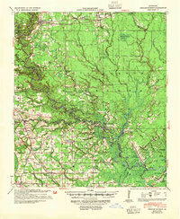
Historical Maps of Frenchtown Acres Through Time
9 maps found
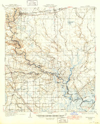
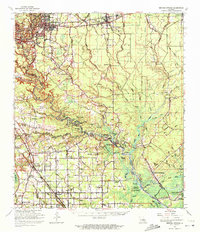
1934 Denham Springs
Livingston Parish, LA
1939 Denham Springs
Livingston Parish, LA
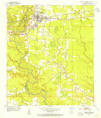
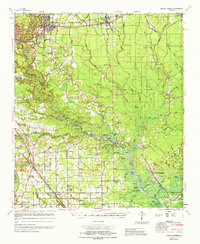
1953 Denham Springs
Livingston Parish, LA
1963 Denham Springs
Livingston Parish, LA
1963 Denham Springs
Livingston Parish, LA
1965 Denham Springs
Livingston Parish, LA
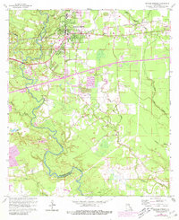
1991 Denham Springs
Livingston Parish, LA
1995 Denham Springs
Livingston Parish, LA
2024 Denham Springs
Livingston Parish, LA