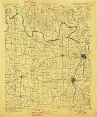
1901 Map of Denison
USGS Topo · Published 1901About this map
The Red River serves as a winding boundary between the Chickasaw Nation and northern Texas, defining the landscape of this region at the turn of the century. Before the construction of modern dams, the river's transit was managed by a dense network of crossings, including the Delaware Ferry, Willis Ferry, and Rock Bluff Ferry. This era also saw the early transition toward permanent infrastructure, evidenced by the Colbert Bridge near the growing hub of Denison.
Find a feature on this map
104 named features on this map. Tap any name to fly to it.
Don’t see what you’re looking for? This feature index may not catch every label — zoom into the map to look around manually.
Map Details
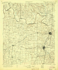
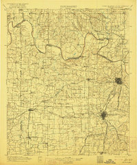
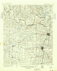
Editions of this 1901 Denison Map
4 editions found
Other maps of this area

1899 · Atoka
USGS Topo · 1:125,000

1900 · Atoka
USGS Topo · 1:125,000
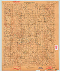
1901 · Tishomingo
USGS Topo · 1:125,000
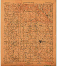
1901 · Ardmore
USGS Topo · 1:125,000
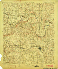
1902 · Gainesville
USGS Topo · 1:125,000
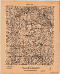
1918 · Ardmore
USGS Topo · 1:125,000
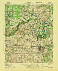
1943 · Gainesville
USGS Topo · 1:125,000

1954 · Sherman
USGS Topo · 1:250,000
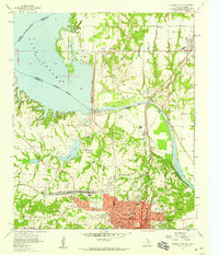
1957 · Denison Dam
USGS Topo · 1:24,000

1957 · Ardmore
USGS Topo · 1:250,000