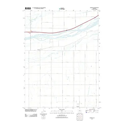
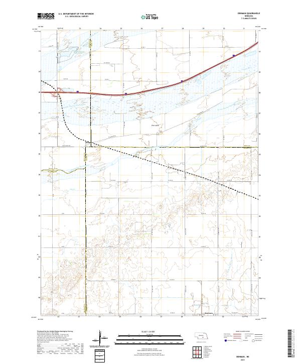
1962 Map of Denman
USGS Topo · Published 1993About this map
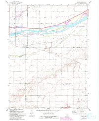
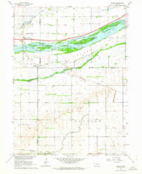
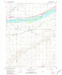
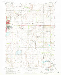
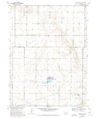
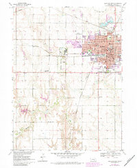
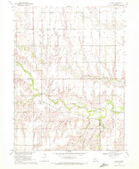
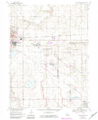
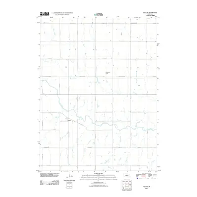
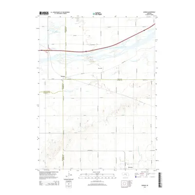
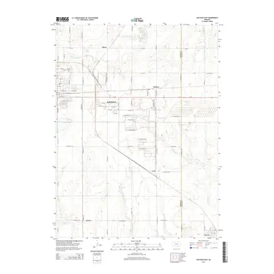
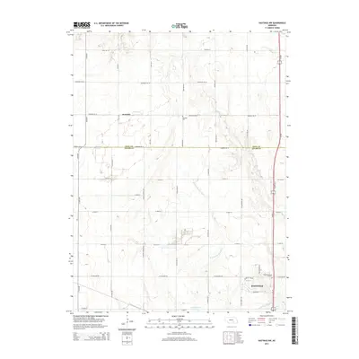
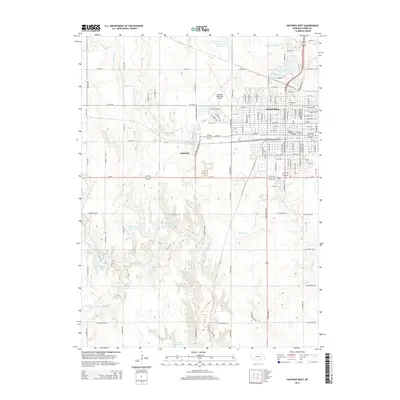
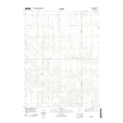
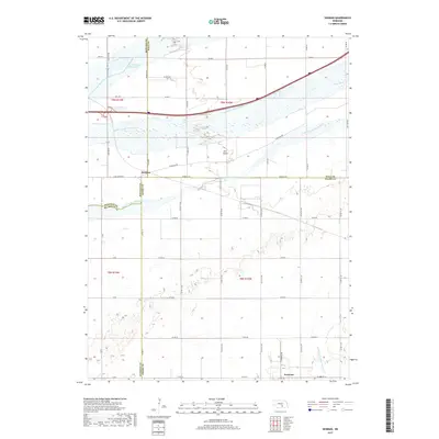
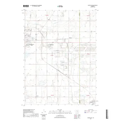
The braided waters of the Platte River dominate this Central Nebraska landscape, dividing into the North Channel Platte River, Middle Channel Platte River, and South Channel Platte River. This 1962 survey, updated with 1988 revisions, reveals the intricate island geography of the region, including the Denman Island State Wildlife Management Area. The settlement of Denman sits at the junction of Buffalo, Hall, and Adams counties, while Kenesaw anchors the southern portion of the sheet. Modern infrastructure is represented by Interstate 80 and the Union Pacific railroad, which cut across the river valley. The map also highlights the War Axe State Rec Area, illustrating the development of riverside recreation alongside traditional prairie agriculture and township grids like Lowell and Kenesaw.
Find a feature on this map
22 named features on this map. Tap any name to fly to it.
Don’t see what you’re looking for? This feature index may not catch every label — zoom into the map to look around manually.
Map Details
Editions of this 1962 Denman Map
3 editions found
Historical Maps of Kenesaw Through Time
26 maps found
1962 Denman
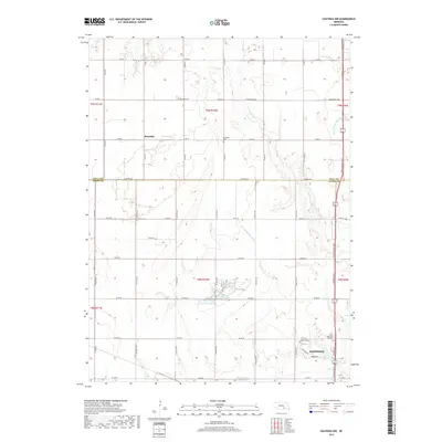
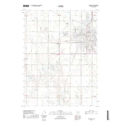
Adams County, NE
1969 Hastings East
Adams County, NE
1969 Hastings NW
Adams County, NE
1969 Hastings West
Adams County, NE
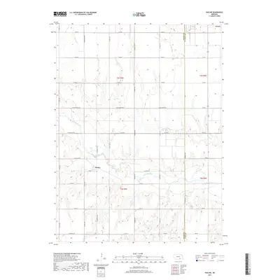
1969 Pauline
Adams County, NE
1983 Hastings East
Adams County, NE
2011 Denman
Adams County, NE
2011 Hastings East
Adams County, NE
2011 Hastings NW
Adams County, NE
2011 Hastings West
Adams County, NE
2011 Pauline
Adams County, NE
2014 Denman
Adams County, NE
2014 Hastings East
Adams County, NE
2014 Hastings NW
Adams County, NE
2014 Hastings West
Adams County, NE
2014 Pauline
Adams County, NE
2017 Denman
Adams County, NE
2017 Hastings East
Adams County, NE
2017 Hastings NW
Adams County, NE
2017 Hastings West
Adams County, NE
2017 Pauline
Adams County, NE
2021 Denman
Adams County, NE
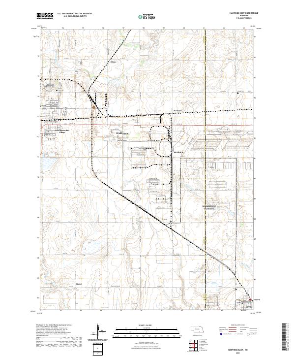
2021 Hastings East
Adams County, NE
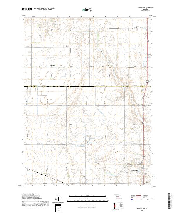
2021 Hastings NW
Adams County, NE
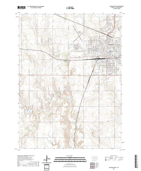
2021 Hastings West
Adams County, NE
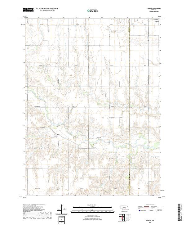
2021 Pauline
Adams County, NE