
1959 Map of Denmark
USGS Topo · Published 1960About this map
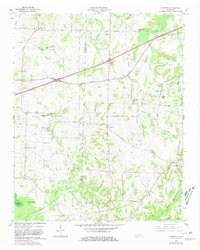
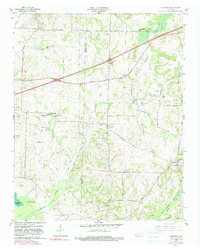
The boundary between Haywood and Madison counties bisects a landscape of scattered agricultural settlements and rural institutions in the late 1950s. The village of Denmark serves as a local hub in the southeast, while smaller communities like Wellwood and Leighton anchor the northern and central sections of the sheet. Education and faith were clearly central to the social geography of the era, evidenced by numerous facilities such as Greer Sch, Woodland Sch, and St Johns Ch.
Find a feature on this map
60 named features on this map. Tap any name to fly to it.
Don’t see what you’re looking for? This feature index may not catch every label — zoom into the map to look around manually.
Map Details
Editions of this 1959 Denmark Map
3 editions found
Other maps of this area

1950 · Sunnyhill
USGS Topo · 1:24,000

1951 · Sunnyhill
USGS Topo · 1:24,000

1956 · Blytheville
USGS Topo · 1:250,000

1959 · Blytheville
USGS Topo · 1:250,000

1959 · Bells
USGS Topo · 1:24,000

1959 · Westover
USGS Topo · 1:24,000

1959 · Adair
USGS Topo · 1:24,000

1959 · Hillville
USGS Topo · 1:24,000

1961 · Jones
USGS Topo · 1:24,000
1961 · Mercer
USGS Topo · 1:24,000