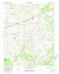
1959 Map of Denmark
USGS Topo · Published 1980About this map
The border of Haywood Co and Madison Co divides this rural landscape, which is defined by a dense network of country schools and family-named cemeteries. Settlements like Denmark, Wellwood, and Leighton are connected by a mix of established roads such as the Broadway of America and local routes like the Huntersville-Denmark Road. The landscape is heavily dissected by waterways, notably Cypress Creek and Browns Creek, which carve through the terrain between small community centers.
Find a feature on this map
60 named features on this map. Tap any name to fly to it.
Don’t see what you’re looking for? This feature index may not catch every label — zoom into the map to look around manually.
Map Details
Editions of this 1959 Denmark Map
3 editions found
Other maps of this area

1950 · Sunnyhill
USGS Topo · 1:24,000

1951 · Sunnyhill
USGS Topo · 1:24,000

1956 · Blytheville
USGS Topo · 1:250,000

1959 · Blytheville
USGS Topo · 1:250,000

1959 · Bells
USGS Topo · 1:24,000

1959 · Westover
USGS Topo · 1:24,000

1959 · Denmark
USGS Topo · 1:24,000

1959 · Adair
USGS Topo · 1:24,000

1959 · Hillville
USGS Topo · 1:24,000

1961 · Jones
USGS Topo · 1:24,000