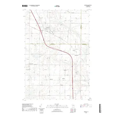
2018 Map of Denmark
USGS Topo · Published 2018About this map
Denmark serves as a central hub in this Wisconsin landscape, where the borders of Brown, Manitowoc, and Kewaunee counties converge. The geography is defined by the winding paths of the Neshota River and Devils River, which cut through a region characterized by small agricultural settlements and specialized land use. Notable landmarks include the Maribel Caves and the Flying Dollar Ranch Airport, reflecting a mix of natural geologic features and rural aviation infrastructure.
Find a feature on this map
66 named features on this map. Tap any name to fly to it.
Don’t see what you’re looking for? This feature index may not catch every label — zoom into the map to look around manually.
Map Details
Editions of this 2018 Denmark Map
This is the sole edition of this map. No revisions or reprints were ever made.
Other maps of this area

1954 · Kewaunee
USGS Topo · 1:62,500

1954 · Manitowoc
USGS Topo · 1:62,500

1954 · Denmark
USGS Topo · 1:62,500

1954 · Reedsville
USGS Topo · 1:62,500

1954 · Manitowoc
USGS Topo · 1:250,000

1954 · Bellevue
USGS Topo · 1:24,000

1958 · Manitowoc
USGS Topo · 1:250,000

1978 · Denmark
USGS Topo · 1:24,000

1978 · Poland
USGS Topo · 1:24,000

1978 · Stangelville
USGS Topo · 1:24,000