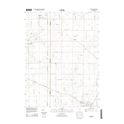
2013 Map of Denmark
USGS Topo · Published 2013About this map
The boundary between Marion and Morrow Counties bisects this agricultural landscape, where small rural settlements and family cemeteries define the local geography. In the south, the village of Cardington sits along the banks of Whetstone Creek, serving as a focal point for the surrounding farmsteads. To the north, the small community of Denmark is positioned near the headwaters of Otter Creek, while Wood Valley occupies the northwest corner of the sheet.
Find a feature on this map
61 named features on this map. Tap any name to fly to it.
Don’t see what you’re looking for? This feature index may not catch every label — zoom into the map to look around manually.
Map Details
Editions of this 2013 Denmark Map
This is the sole edition of this map. No revisions or reprints were ever made.
Other maps of this area

1903 · Marion
USGS Topo · 1:62,500

1905 · Marion
USGS Topo · 1:62,500

1913 · Mount Gilead
USGS Topo · 1:62,500

1915 · Marengo
USGS Topo · 1:62,500

1916 · Mount Gilead
USGS Topo · 1:62,500

1924 · Delaware
USGS Topo · 1:62,500

1925 · Delaware
USGS Topo · 1:62,500

1943 · Marengo
USGS Topo · 1:62,500

1943 · Mount Gilead
USGS Topo · 1:62,500

1944 · Delaware
USGS Topo · 1:62,500