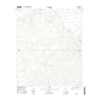
2016 Map of Dennis
USGS Topo · Published 2016About this map
Brazos River meanders sharply through this North Texas landscape, defining the rural character of the Parker and Hood County line. The river's tight loops create distinct geographic pockets like Lazy Bend and the developed Horseshoe Bend community to the east. Higher elevations are marked by Stephens Bluff and Big Valley, while a network of named tributaries including Kickapoo Cr, Cottonwood Cr, and Killing Br drain the rolling terrain.
Find a feature on this map
76 named features on this map. Tap any name to fly to it.
Don’t see what you’re looking for? This feature index may not catch every label — zoom into the map to look around manually.
Map Details
Editions of this 2016 Dennis Map
This is the sole edition of this map. No revisions or reprints were ever made.
Other maps of this area

1889 · Granbury
USGS Topo · 1:125,000

1890 · Stephenville
USGS Topo · 1:125,000

1891 · Weatherford
USGS Topo · 1:125,000

1891 · Palo Pinto
USGS Topo · 1:125,000

1893 · Weatherford
USGS Topo · 1:125,000

1918 · Palo Pinto
USGS Topo · 1:125,000

1920 · Stephenville
USGS Topo · 1:125,000

1923 · Granbury 2-a
USGS Topo · 1:48,000

1924 · Weatherford 3-d
USGS Topo · 1:48,000

1931 · Dennis
USGS Topo · 1:62,500